
The Monne gorges
Olloix
 Dogs allowed
Distance 5.5Km
Duration 1h30
Hiking route BOUCLE
Marking Blue
In pictures
Route description
An area crossed by the Cheire d’Aydat flowing from the puys de la Vache and de Lassolas. The Monne flows into the valley in torrents, making the paths steep and cool, and offering fine panoramic views of the volcanoes.
Trail highlights
– Difficult roped passages.
– We strongly advise against hiking with dogs.
– Very difficult hike after heavy rain.
– Passages can be very slippery.
– Olloix : church and Commanderie tower.
– View of the puy d’Olloix, the Sancy massif.
– View of the Puys chain, the Serre plateau, the Gergovie plateau, the Livradois-Forez mountains and the Monton virgin.
– The Monne valley.
– The waterfall and the Marmite des Géants.
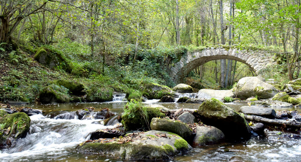
– Bridge at Riberolles.
– Natura 2000 natural area.
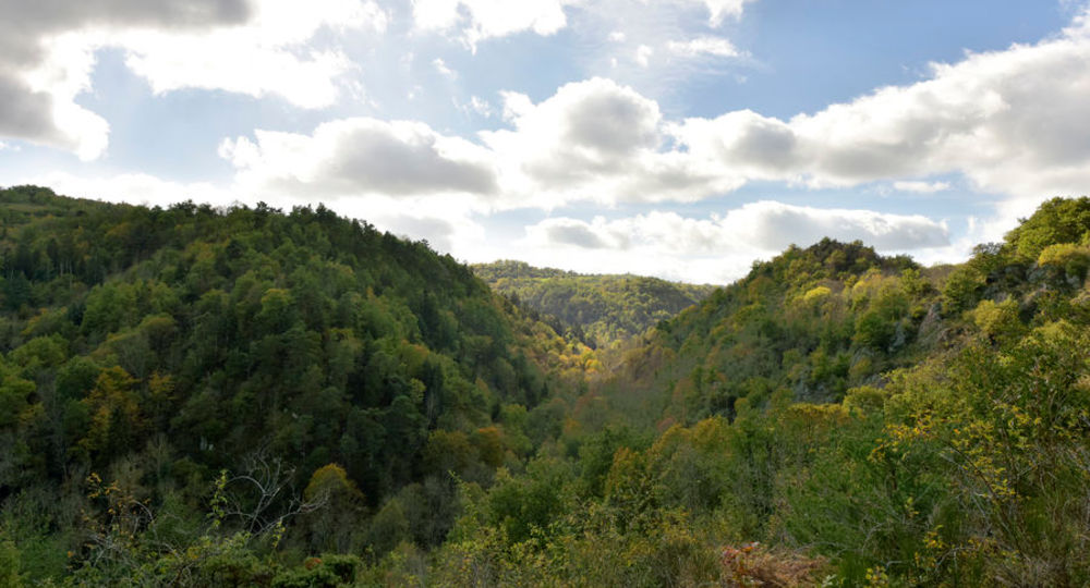
– View of the Monne gorges and Pierre Longue wood.
– View of Saint-Saturnin, Saint-Amant-Tallende, puy de Peyronère and puy de Saint-Sandoux.
Guidebook with maps/step-by-step
Step 1 : From the parking lot, take the left-hand path around the puy d’Auzenne to the first intersection (view of the puy d’Olloix, the Sancy massif and the Monne gorges).
Step 2 : Take the path on the left (view of the Puys chain, Serre plateau, Gergovie plateau, Livradois-Forez mountains, Monton virgin). Descend a wide path. After the “Natura 2000” nature area barrier, take the first path on the right. Over the river, take the rapid descent and cross the footbridge.
Step 3 : Turn right and follow the path along the Monne, passing 3 handrails to reach the waterfall and the Marmite des Géants. Cross the Riberolles bridge. Leave the path on your left and walk up to the exit of the “Natura 2000” natural area (view of the Monne gorges and the Pierre Longue wood).
Step 4 : Take the path on the right as far as the granite rocks (view of Saint-Saturnin, Saint-Amant-Tallende, puy de Peyronère and puy de Saint-Sandoux). At the intersection, turn right. After the Olloix cemetery, turn right at the gîte de groupe to return to the starting point (church and Commanderie tower).
Proposed and managed by the Conseil départemental du Puy-de-Dôme – PDIPR.
Opening hours
From 01/01 to 31/12 daily.
Subject to favorable weather.
Comfort, facilities and services
- Pets welcome
Additional information
For your own safety, always take a bottle of water, a hat, warm clothing and footwear suitable for walking.
Depending on weather conditions, certain itineraries are not recommended in bad weather (fog) or are not practicable, or even forbidden, during the winter season.
Some sites are fragile, so stay on the marked trails. Avoid picking wild flowers and disturbing wildlife. Pick up your garbage.
Animals are not allowed on some routes.
Dogs allowed Dogs must be kept on a leash due to the presence of herds.
Environment
In the country, Forest location, Mountain view, Presence of livestock and guard dogs
Access
From Clermont-Ferrand, take the A75. At exit 5, follow the D213 to the Saint-Saturnin/Chadrat crossroads. Turn left at Saint-Saturnin, cross it, turn left on the D28, then left on the D119 to Olloix. On leaving the village, park behind the chapel.
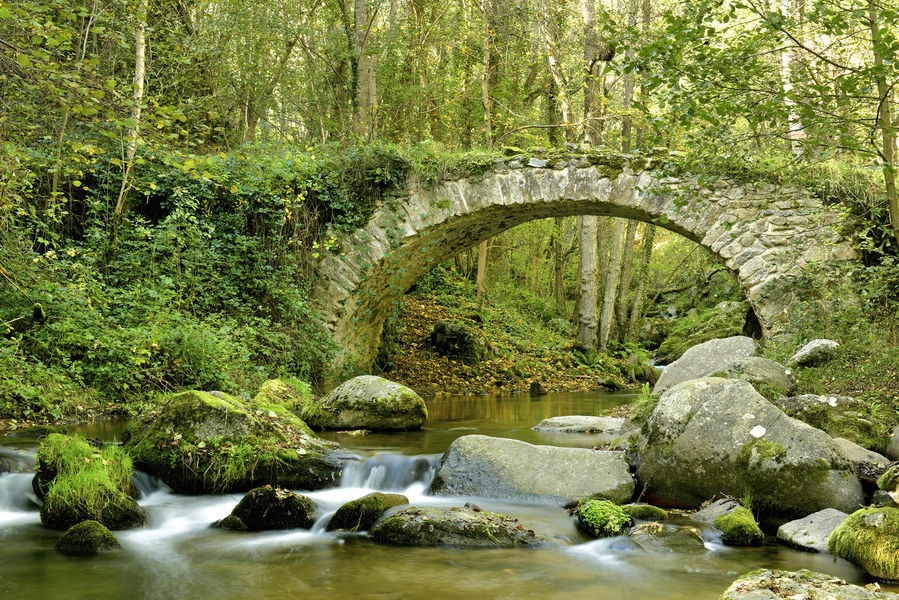
Photo credits : Henri Derus, Henri Derus
 Updated on 29 May 2026 by Conseil départemental du Puy-de-Dôme