
The gorges of Leyvaux and Apcher
Anzat-le-Luguet
 No dogs allowed
Distance 11.5Km
Duration 4h00
Hiking route BOUCLE
Marking Green
In pictures
Route description
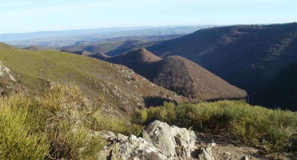
From Blesle, we walk through the gorges of the Apcher stream, in settings that inspire the world’s end, immersing the walker in a preserved environment with intact fauna and flora. In the village of Leyvaux, time seems to have stopped.
Starting point – Take a wide track opposite when looking at the starting sign. Leave a path on the right and continue down to the edge of the cliff (view of Montfouat, Monts du Livradois, du Devès, vallée de Leyvaux, plateau d’Anliac, Margeride, in the foreground the vallée des Trois(…)
Trail highlights
– Leyvaux and its church.
– The Leyvaux and Apcher gorges.
– View of Montfouat, the Livradois and Devès mountains, the Leyvaux valley, the Anliac plateau, Margeride, with the Trois Sauts valley in the foreground.
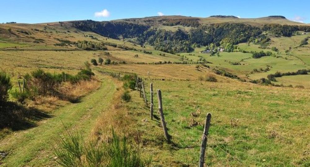
– View of Anzat-le-Luguet and Signal du Luguet.
Guidebook with maps/step-by-step
Step 1 : Take the wide path opposite the start sign. Leave a track on the right and continue downhill to the cliff edge (view of Montfouat, Monts du Livradois, Devès, Vallée de Leyvaux, Plateau d’Anliac, Margeride, with the Vallée des Trois Sauts in the foreground).
Step 2 : Turn right to continue winding downhill on a balcony path to the lowest point of the valley. The path crosses the Saroil stream and climbs for some 60 m before descending to the village of Leyvaux (church with combed bell tower and porch).
Step 3 : Leaving the church on your left, turn right onto a wide track and continue uphill through undergrowth. At a fork in the road called “Les Gorges d’Apcher”, take the right-hand path towards Saroil. Follow the steep Apcher gorges up to the footbridge.
Step 4 : Leave a path on the left (alternative in case of high water) and turn right onto a path running alongside the stream (old antimony mines). Cross a second footbridge and begin a steep, winding climb to Sagnes (view of the Livradois, Devès and Margeride mountains). Immediately after the last house, turn right onto a path between dry-stone walls. Continue until you reach the entrance to Saroil.
Next step
Step 5 : In the village, turn left after an old transformer (old houses with stepped gables, slate roofs). Leave the village. At the next crossroads, turn right (view of Anzat-le-Luguet and Signal du Luguet). Continue straight ahead to the start.
Proposed and managed by the Conseil départemental du Puy-de-Dôme – PDIPR.
Opening hours
From 01/01 to 31/12 daily.
Subject to favorable weather.
Additional information
For your own safety, always take a bottle of water, a hat, warm clothing and footwear suitable for walking.
Depending on weather conditions, certain itineraries are not recommended in bad weather (fog) or are not practicable, or even forbidden, during the winter season.
Some sites are fragile, so stay on the marked trails. Avoid picking wild flowers and disturbing wildlife. Pick up your garbage.
Animals are not allowed on some routes.
Environment
Forest location, Mountain location
Access
On the A75, exit 22 towards Espalem, Blesle. In Blesle, turn right onto D8 for 9km, then D24. At Combaliboeuf, park on the median near the start sign.
Downloadable :
Photo credits : CG15-BBT
 Updated on 29 May 2026 by Conseil départemental du Puy-de-Dôme