
Trail run : Site des Côtes et Puy de Var | Blanzat
Blanzat
 No dogs allowed
Distance 10.3Km
Duration 1h20
Hiking route BOUCLE
Marking Yellow circles in both directions.Disregard crosses indicating the wrong direction, which do not concern Clermont Communauté itineraries.
In pictures

Route description
Setting off from Blanzat, set out to conquer the Puy de Var ! This technical trail run, alternating between invigorating sprints, steep climbs and winding single tracks, takes you up to the heights of the Côtes area to take in a unique panoramic view of the valley.
A challenging and fast-paced trail run between the Blanzat valley and the summit of the Puy de Var
Starting from the village of Blanzat, the ‘Côtes and Puy de Var Trail’ is a compact and demanding loop, ideal for working on elevation gain, stride length and acceleration. Winding through(…)
Trail highlights
We recommend that you follow the tour using the Mikhes app, which guides you step by step to simplify your discovery. Download the app at the bottom of the page and start your tour.
Opening hours
All year round daily.
Environment
Lakeside or by stretch of water, Mountain view, Waterside
Downloadable :
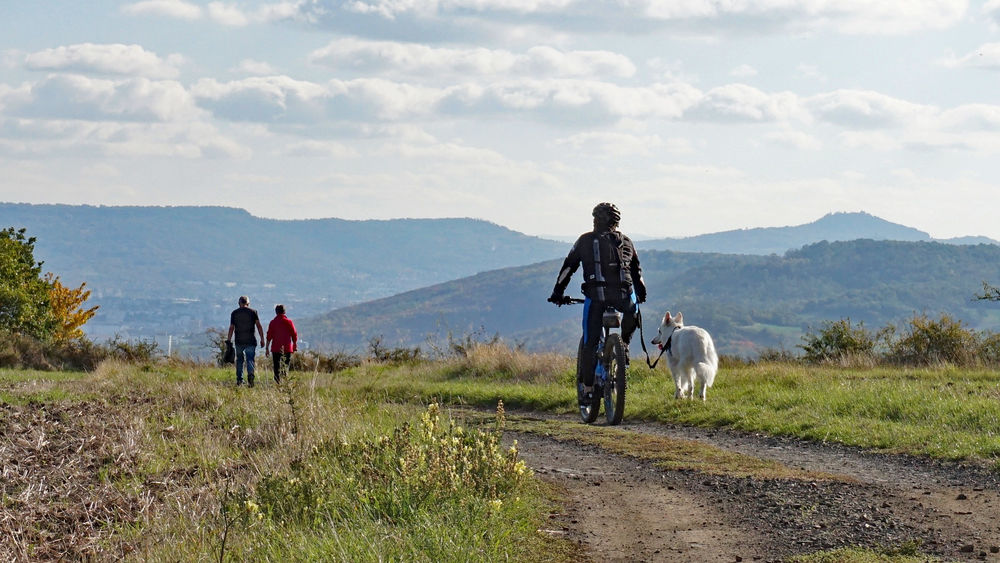
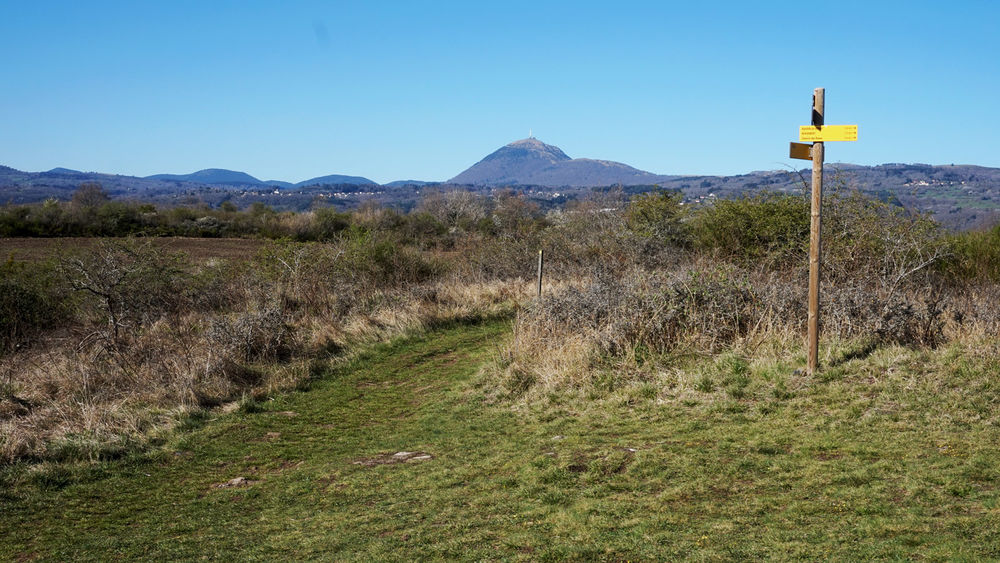
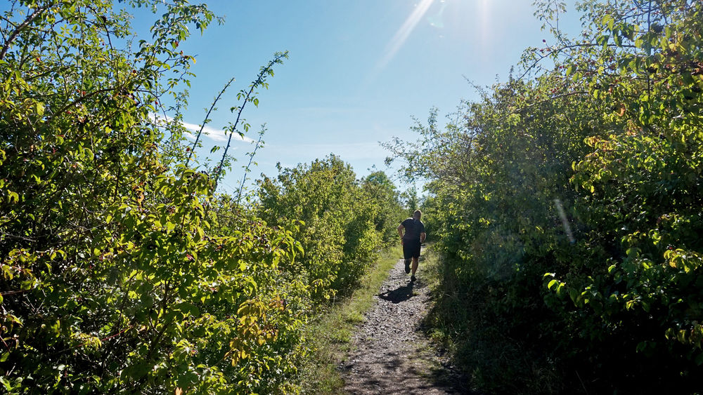
Photo credits : ESM-CAT
 Updated on 5 August 2026 by Clermont Auvergne Volcans