
Rando Cheix
Le Cheix
 No dogs allowed
Distance 5.7Km
Duration 2h00
Hiking route BOUCLE
Marking Blue markings
In pictures

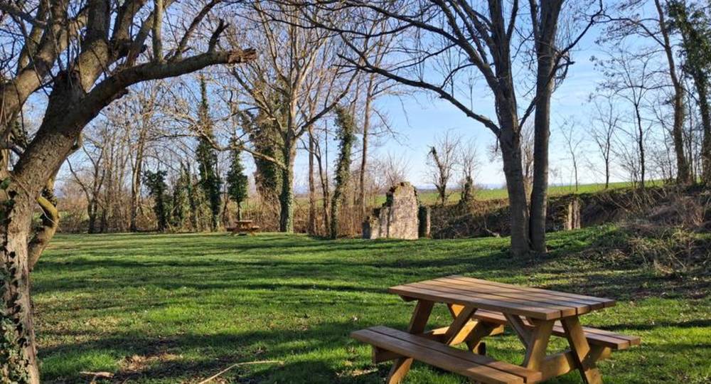
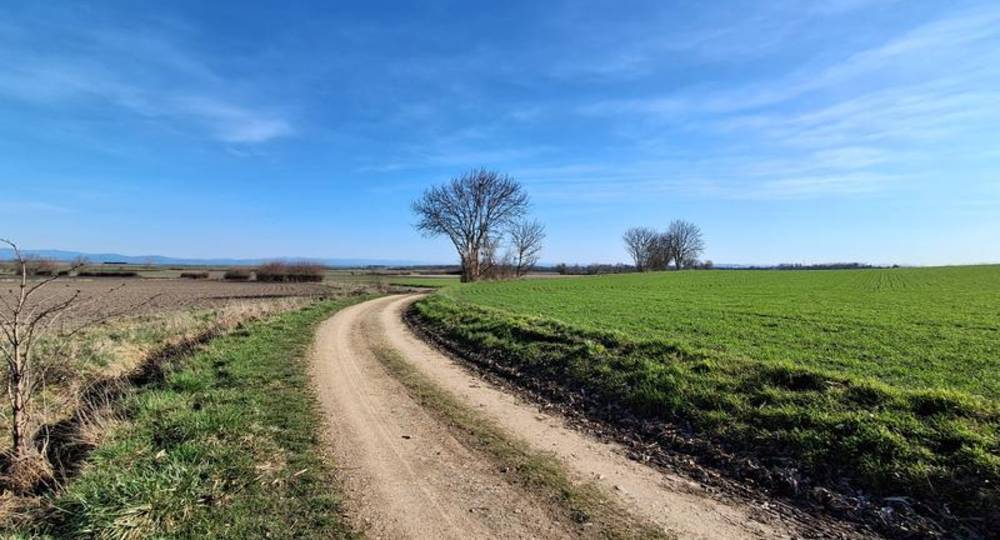
Route description
Departure from the church. From Riom, head for Le Cheix-sur-Morge on the D2009. In the village, park on the right in front of the church.
Guidebook with maps/step-by-step
Step 1 : Church departure. Reach the stairs and cross the main street
then turn left. Take the first right along the pharmacy.
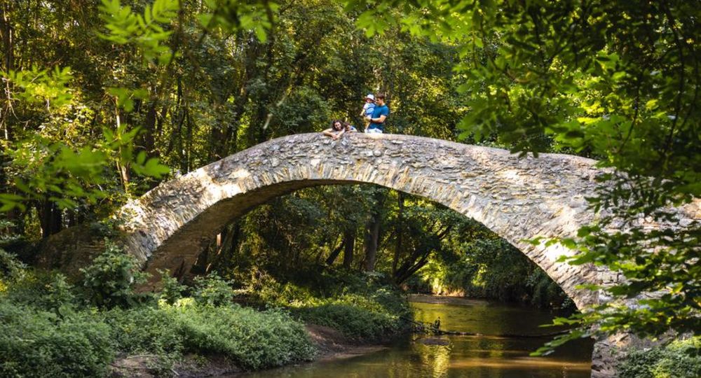
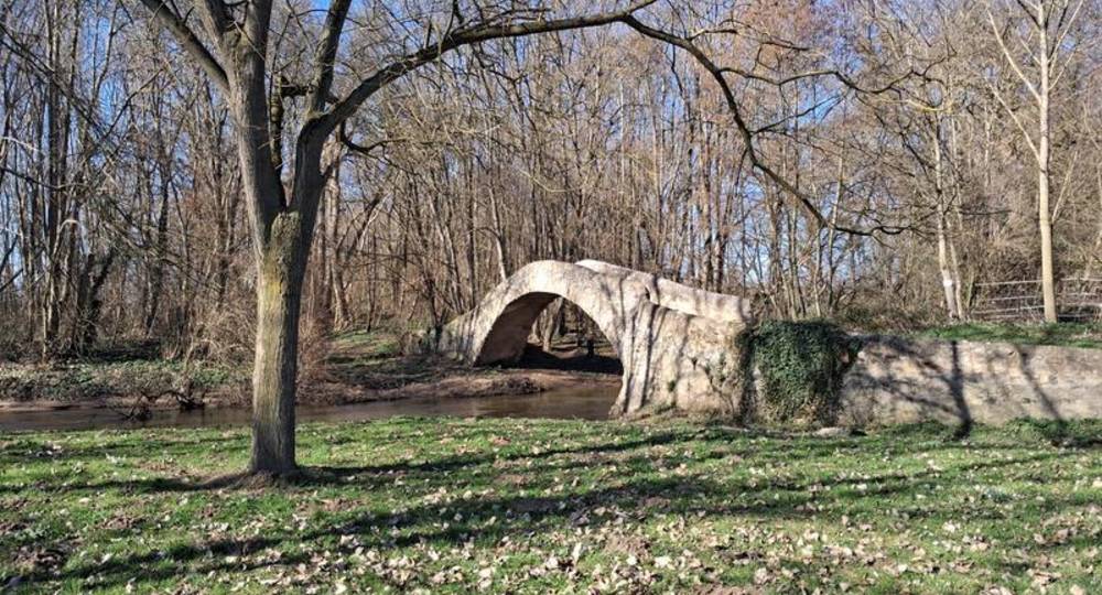
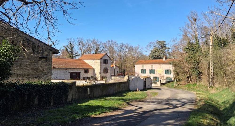
Step 2 : Just before the Roman bridge, turn right. Stay on the asphalt road until you reach a Y-intersection and turn left into Rue du Moulin. Turn right at the mill. At the end of the grassy lane, before the 1st house, turn right and go straight on. At the stop sign, go straight on for 100 m, then turn left into rue Fernand Raynaud.
Step 3 : At the town hall, cross the main street, turn right and then left after 50 m, into rue de la Croix Romanson. At the stop sign, turn left into rue Saint-Amable. At the traffic circle, continue straight ahead. At the cemetery, keep to the right and reach an intersection 200 m further on, then turn right.
Step 4 : Take the first right. Leave 2 side paths, then turn right to join the road.
Next step
Step 5 : Turn left, then right after 50 m. At the Y, turn right, then right again. At the next junction, turn left, then right to rejoin the road.
Step 6 : At the road, turn right, then left at the cross. At the next intersection, turn right into chemin des Clos, then left into rue des Jardins to reach the church parking lot.
Opening hours
All year round daily.
Environment
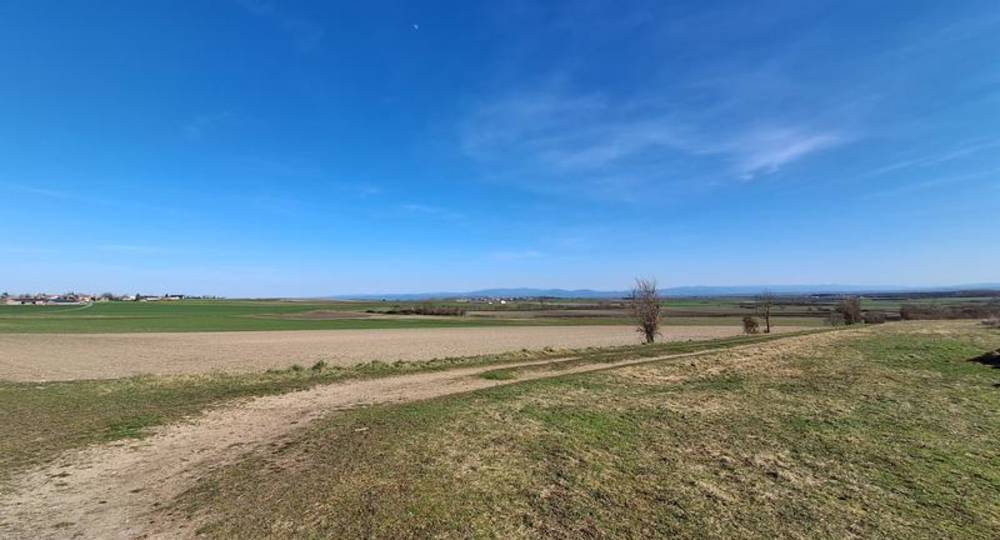
In the country, Waterside
Downloadable :
Photo credits : Floian Bompan, Florian Bompan, RLV, RLV, RLV, RLV, RLV
 Updated on 31 March 2026 by Office de Tourisme Terra Volcana, les Pays de Volvic