
Hiking along the Dordogne
Mont-Dore
 Dogs allowed
Distance 5.1Km
Duration 2h30
Hiking route ALLER_RETOUR
Marking Yellow signs (Chamina).
In pictures
Route description
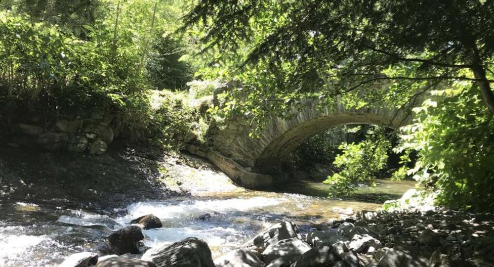
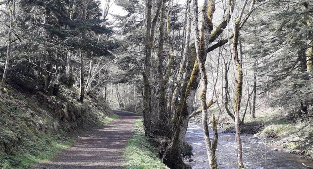
Charming walk through undergrowth along the banks of the Dordogne river, passing through the hamlet of Genestoux, with little change in altitude and lasting 2h30 round trip.
This route is also available from La Bourboule.
The Dordogne River
The Dordogne rises on the northern flank of the Puy de Sancy at an altitude of 1366 m, where two small mountain streams, the Dore and the Dogne, meet. It then flows through Le Mont-Dore and La Bourboule(…)
Guidebook with maps/step-by-step
Step 1 : At the Marais bridge, take the right-hand path at the level crossing.
Step 2 : Follow the Dordogne river to the left, following signs for “La Vernière”.
Step 3 : Cross the bridge over the Dordogne and continue along the path up to the village of Le Genestoux, before descending to the river.
Step 4 : Continue along the Dordogne to the end of the path at La Vernière.
Next step
Step 5 : Turn around and retrace your steps along the same path back to your starting point.
Opening hours
From 01/01 to 31/12/2026.
From 01/01 to 31/12/2027.
Comfort, facilities and services
- Pets welcome
Additional information
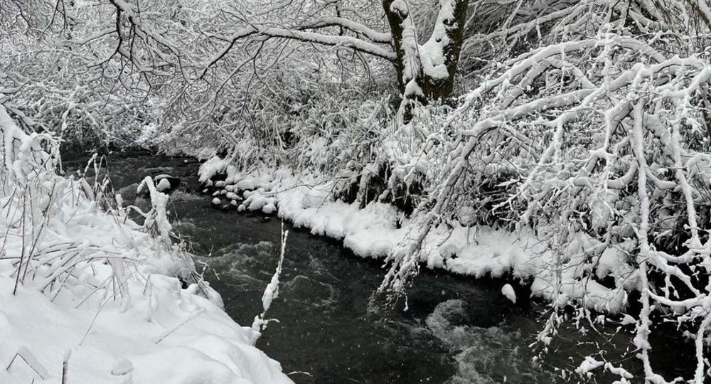
Bring hiking boots, even small crampons in case of icy conditions.
Bring 3 layers of clothing as the trail is in undergrowth.
Not suitable for baby carriages.
Dogs allowed Dogs are allowed, but must be kept on a leash for the peace and quiet of all users.
Environment
Riverside, Forest location, Waterside
Access
Pont de Marais Parking Lot
Downloadable :
Photo credits : DR Office de Tourisme du Sancy, DR Office de Tourisme du Sancy, DR Office de Tourisme du Sancy
 Updated on 8 October 2026 by Office de Tourisme du Massif du Sancy