
Les Balcons de Murat hike
Murat-le-Quaire
 Dogs allowed
Distance 7.6Km
Duration 2h30
Hiking route BOUCLE
Marking Yellow signs (Chamina).
In pictures


Route description
An enchanted forest in winter, an explosion of colours in spring and autumn, and cool shade in summer : this hike also offers magnificent views of the Sancy massif, the Banne d’Ordanche and the Puy Gros.
Guidebook with maps/step-by-step
Step 1 : From the Chalet de la Banne, take the climb towards Pallière. Once up, turn right to the La Sapinière sign and continue to the La Redonde sign.
Step 2 : Cross the road and follow the signs for La Vernouze. Turn right downhill towards Les Pans. Continue downhill to Les Buges.
Step 3 : Turn right towards the hamlet of Usclade. Turn right onto the road and follow it to Les Rivaux.
Step 4 : Leave the road and take the path on the right towards La Gacherie (800 m uphill). Go through the small hamlet of La Gacherie towards Les Verdas. At the end of the hamlet, go straight on for 200 m and take the path which rises to the right (yellow arrow and no-vehicle sign).
Next step
Step 5 : Cross the La Banne housing estate to the Les Verdas sign. You are now close to the start parking lot.
Opening hours
From 01/01 to 31/12/2026.
From 01/01 to 31/12/2027.
Comfort, facilities and services
- Pets welcome
- Picnic area
Additional information
In winter, we recommend wearing waterproof hiking boots.
Toilets, picnic area and playground 1 km away at Lac du Pré Cohadon.
Not suitable for baby carriages.
In summer, the Banne d’Ordanche is a summer pasture with herds and patous. Keep your dog on a leash. See our “Prepare your hike” page for advice on how to deal with patous and a map of estives.
Dogs allowed Dogs allowed, always on a leash for the peace and quiet of all users. Mountain pasture area.
Environment
Forest location, Mountain view
Access
Parking right in front of Chalet de la Banne
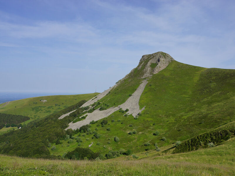
Photo credits : DR OT Sancy, DR OT Sancy, DR OT Sancy
 Updated on 8 October 2026 by Office de Tourisme du Massif du Sancy