
Site d’escalade d’Orcival – La Roche Tuillière
Orcival

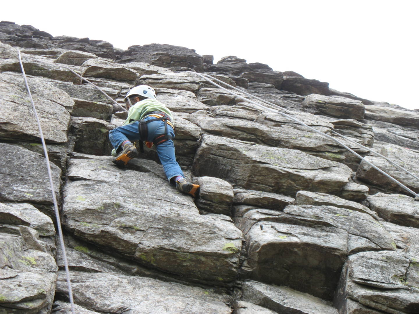
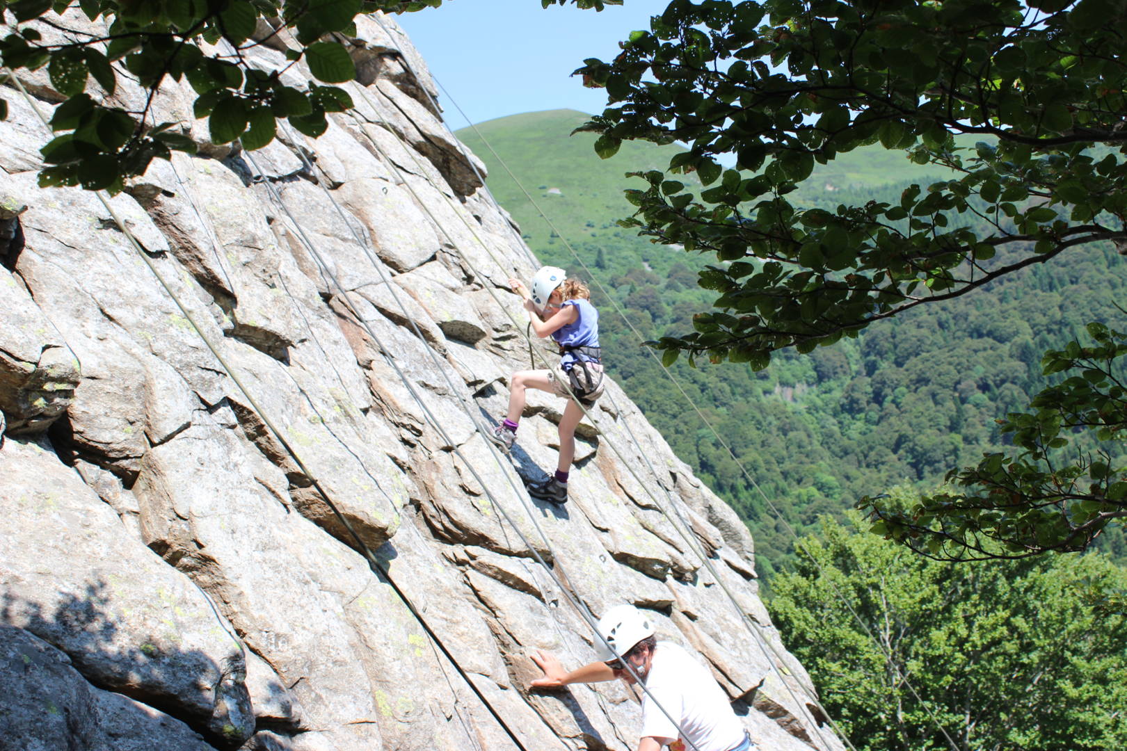
An interesting site with routes of several lengths, ranging from 6a to 6c.
Direction(s) : S Altitude at foot of routes : 1200 m
Approach walk : 15 min downhill.
Site environment : foot of routes suitable for young children.
Between 10 and 25 routes, from 4a to 5a.
Equipment : sporty
Maximum height : 100 m.
Rock : phonolith. Profile(s) : slab Dalle, vertical Vertical. Type(s) of(…)
Spoken languages
Opening hours
All year round daily.
Prices and payment methods
- Free of charge.
Comfort, facilities and services
- Parking nearby
Location
Photo credits : CP MYRIAM COLON, MP CAMILLE FAUGERE, MP CAMILLE FAUGERE
 Updated on 14 August 2024 by Office de Tourisme Auvergne VolcanSancy