![]()
On the way to the arkose
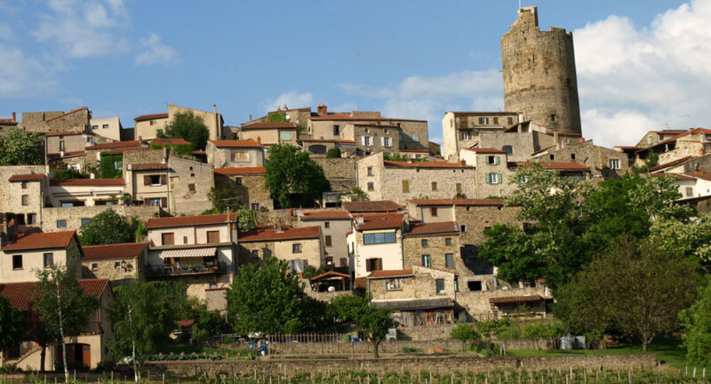
Montpeyroux
 Dogs allowed
Distance 8.5Km
Duration 2h30
Hiking route BOUCLE
Marking Yellow
In pictures
Route description
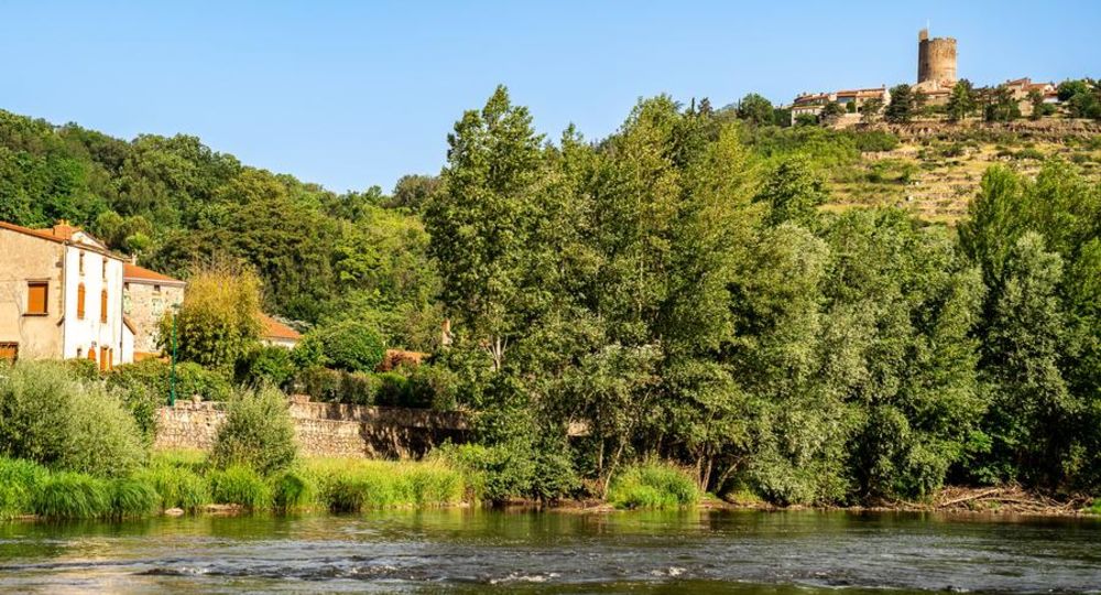
Overlooking the Allier and the couze Chambon near Coudes, this hike on the plateau allows us to visit the very beautiful village of Montpeyroux and to cross landscapes of pailhats reminiscent of the old winegrowing economy.
Starting point – From the starting panel, walk along the car park. At the educational farm, turn left and progress on the arkose outcrops (view of the Sancy massif and the Puys chain) until the beginning of the descent. Continue on this road until you reach an intersection at mid-slope.
Trail highlights
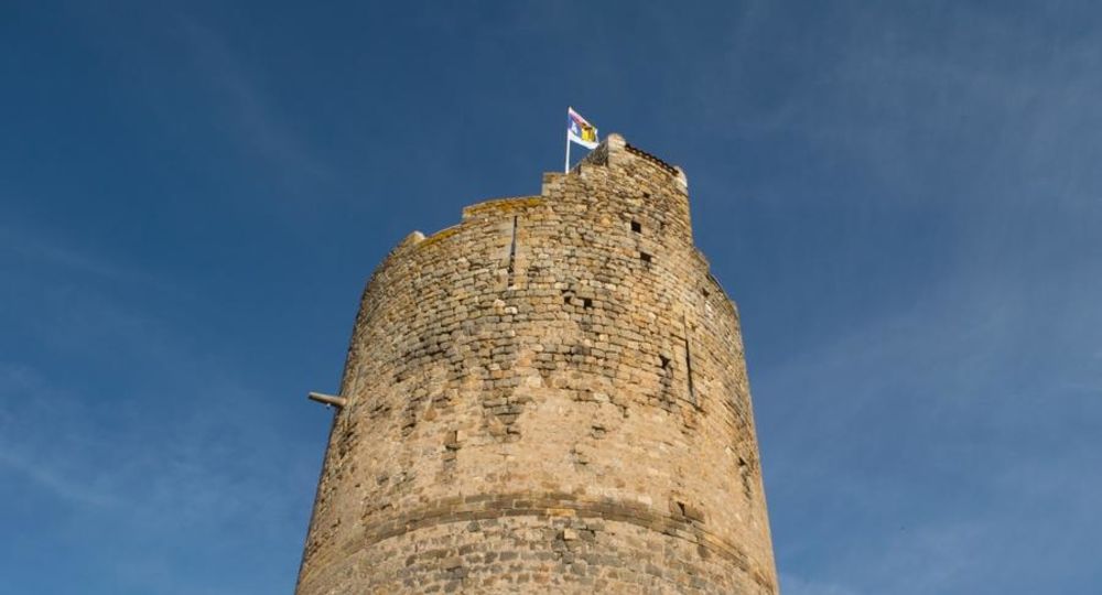
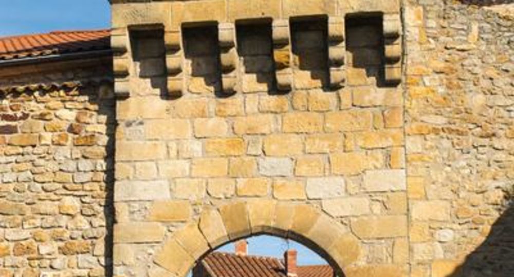
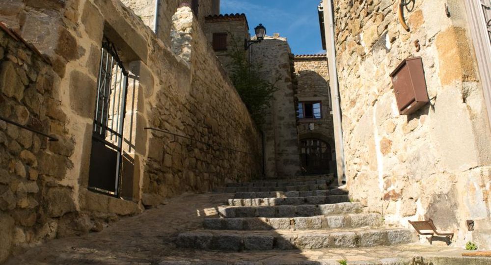
– Montpeyroux : renovated fortified winegrowing village (classified as one of France’s Most Beautiful Villages), keep, Romanesque church, ancient arkose quarries, Chadieu castle, Allier river, vegetable gardens at Coudes.
– View of the Sancy massif and Puys chain.
– Off the circuit between points 3 and 4 : at the crow’s feet, turn left towards a small beach and an island in the Allier (return journey – 20 mins).
– Accessible from Parent – Coudes – Champeix station.
Guidebook with maps/step-by-step
Step 1 : From the start sign, follow the parking area. At the educational farm, turn left and follow the arkose outcrops (with views of the Sancy massif and the Chaîne des Puys) to the start of the descent. Continue on this path until you reach an intersection halfway down the slope.
Step 2 : Turn right, then immediately left downhill to a T-junction. Turn right and continue to a wide, flat track at the bottom of the descent. Take this on the left. At the next intersection, go down to a road, cross it (access to Château de Chadieu, a private site) and continue straight ahead to the first track on the right.
Step 3 : Take it, barrier. Continue through undergrowth, skirting the banks of the Allier and leaving paths on either side. At the road, turn left and continue straight on to the first houses in Coudes. Continue until you come to a footpath rising to the right.
Step 4 : Follow the path through hedges and fences, past gardens and then houses, to the road.
Next step
Step 5 : Turn right up the Chemin du Cuel. Further up on the right, take the Chemin des Pailhas (terraces). On the plateau, keep left until you reach the road. Turn left for 100 m, then climb the track opposite. At the cross, climb the steps and turn right as far as Place de l’Église. Descend via Rue de la Quye and Rue des Granges (panoramic view of the Sancy massif) to reach the village entrance (former arkose quarry) and the start parking lot.
Proposed and managed by the Conseil départemental du Puy-de-Dôme – PDIPR.
/* col-6_sm-12 */ ?>
Opening hours
From 01/01 to 31/12 daily.
Subject to favorable weather.
Comfort, facilities and services
- Pets welcome
Additional information
For your own safety, always take a bottle of water, a hat, warm clothing and footwear suitable for walking.
Depending on weather conditions, certain itineraries are not recommended in bad weather (fog) or are not practicable, or even forbidden, during the winter season.
Some sites are fragile, so stay on the marked trails. Avoid picking wild flowers and disturbing wildlife. Pick up your garbage.
Animals are not allowed on some routes.
Dogs allowed Dogs must be kept on a leash due to the presence of herds.
Environment
In the country, Forest location, Presence of livestock and guard dogs
Access
Take the A75 to Montpeyroux, a village south of Clermont-Ferrand. Parking on the left before the village entrance.
Downloadable :
You might also like…
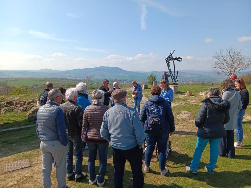
Photo credits : Denis Grubet Alba Photographie, Gwenaelle Douard, Gwenaelle Douard, Gwenaelle Douard