
In the footsteps of Adélaïde d’Orléans
Randan
 No dogs allowed
Distance 10Km
Duration 3h00
Hiking route BOUCLE
Marking Yellow markings
In pictures
Route description
Departure from the church. In Randan, park in the parking lot near the church. Yellow markings.
Guidebook with maps/step-by-step
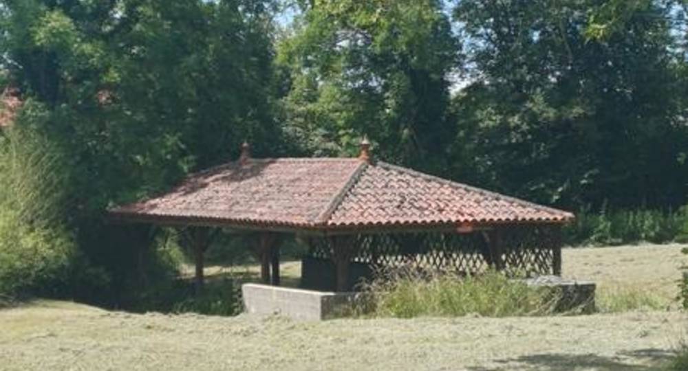
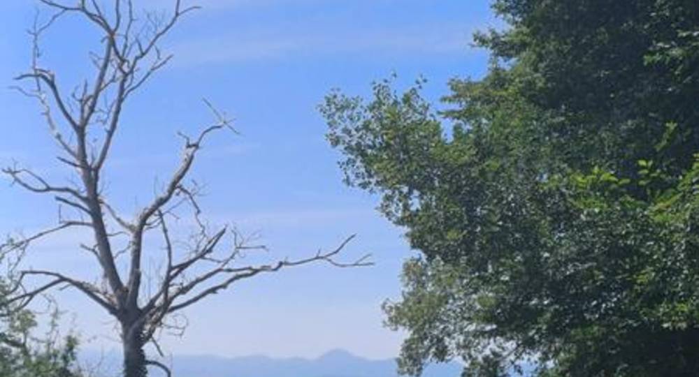
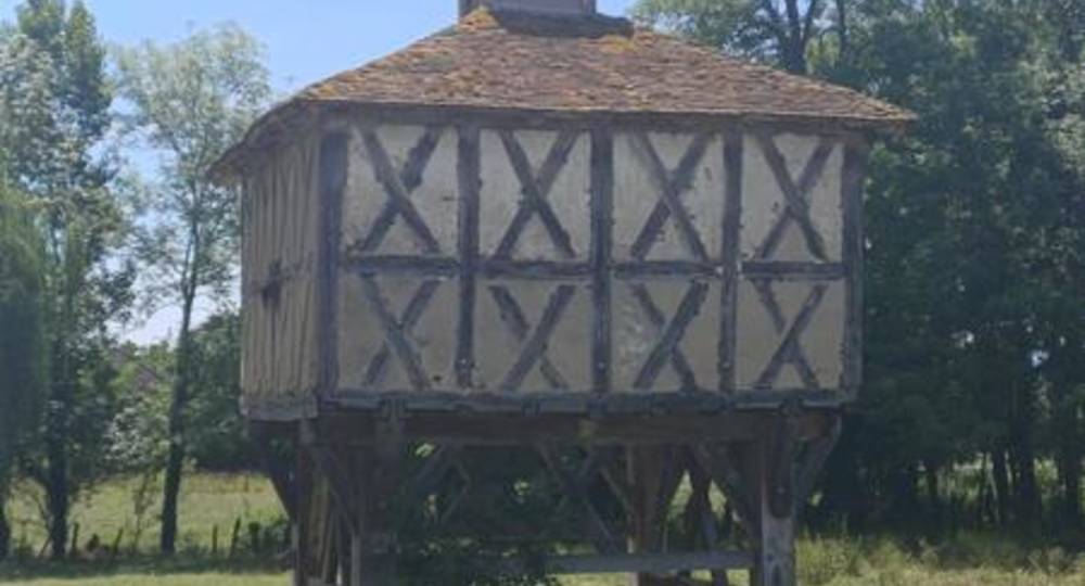
Step 1 : Departure point : Eglise. Turn left down the D1093. Go through the village, past the town hall and, at the crossroads, turn right onto a small road. At the 2nd intersection, take the first path on the right (Vermoussat fountain/laundry). At the T junction, go left (view of Limagne and Chaine des Puys). At the D63 road, turn right and follow it to the Chemin de la Pacha (timber-framed dovecote) on the left, before the D210.
Step 2 : Take this path (fountain-lavatory on right) and go straight on to the railroad line. Pass underneath and turn left. Follow the railway, cross a road and then a track (you can take the track on the right for a 15-minute return trip to the Romanesque church of Jussat), and then join the D1093 at a bridge over the railroad.
Step 3 : Go right down the road (side street) and, at the Jussat sign, turn left (view of Monts de la Madeleine and Forez) onto a wide track. At the next crossroads, turn left, then take the first track on the right along a deciduous hedge. Take the first track on the left (view of Randan castle) before the first houses of Grands Vaux. Take the left-hand path downhill, passing the former waste disposal site on the right, and join a track. Follow it to the left and, at the fork, turn right to reach a road.
Step 4 : Cross the level crossing and turn left onto the D94 road. Follow it to Randan. At the intersection with the main road, turn right to reach the starting point.
Opening hours
All year round daily.
Environment
In the country, Village centre
Downloadable :
Photo credits : Plaine Limagne, Plaine Limagne, Plaine Limagne
 Updated on 12 July 2026 by Office de Tourisme Terra Volcana, les Pays de Volvic