
In the footsteps of the quarrymen
Volvic
 Dogs allowed
Distance 23.6Km
Duration 7h00
Hiking route BOUCLE
Marking Green markings
In pictures
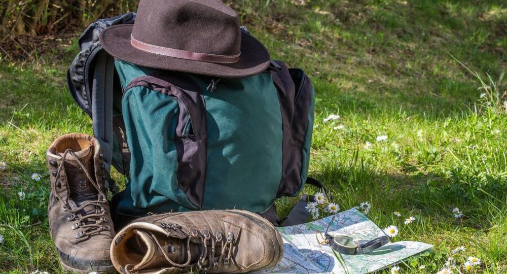
Route description
Departure TourtouleFrom Volvic, follow signs for Pontgibaud on the D986, then turn left towards Tourtoule. Continue through the village to the circular fountain, then turn left to the parking lot on the right.
Guidebook with maps/step-by-step
Step 1 : Departure : Tourtoule. At the village house, turn right onto the Chemin d’Argnat. Go up to the end of the asphalt and turn left onto the large track. Go down to the T-junction and turn left. Follow the Grolles ravine to the road. 2/ Turn left, pass under the bridge and continue straight on into Volvic. Follow rue des Moutys up to the cross (N°43). Turn right, then left to rue des Batignolles. Cross the street and turn right into rue du Soupt. Join rue des Moutys, then turn right towards the town center. Follow Grand Rue, then Rue de la Libération. Turn left into rue du Bicentenaire, then right into route de Marsat and continue as far as the war memorial. Turn right, cross the road and head downhill. Follow the gardens to the Eaux de Volvic factory. 3/ Take the left-hand road to Crouzol. At the crow’s-foot, turn left into Rue de Riom. At the transformer, turn right into rue du Pont, then right again. At the fountain, turn left into a hairpin bend and continue straight on to the grassy parking lot. Turn right up Chemin de Barret. At the top, turn left, then straight on at the crossroads. Continue to the first houses and take the first right. Go up to the last house and turn right. At the T, turn left uphill. Reach the road, turn right, then left towards Château de Tournoël. Leave the château on your left and go straight on. Take the second right. Continue to the top of the plateau (panorama). Turn
left to Viallard. 4/ Cross the hamlet and go back down along the road. At the retention basin, turn right. Go down to the river and turn left. Pass the kennel and turn right in a hairpin bend. Continue to the junction with the GR. Turn right on the GR. After 500 m, turn right. After the ruins, turn right uphill. Join the main track and turn left uphill. At the next crossroads, turn left onto the road. Go downhill, then take the first right. In Moulet-Marcenat, turn left, passing the school, then the Place du Four. Go straight on, then turn left towards the rugby stadium. Go straight ahead, then straight ahead at the next crossroads and right at the entrance to the forest. Drive up to the railroad line and cross it. 5/ Go straight on for 100m, then turn left. Follow the track along the railroad to the pruning shed. Turn right onto the road, take the tunnel and continue straight ahead on the GR. Turn right into the forest and continue for 800m. At the next intersection, turn left, then left again. Follow the path down to the edge of the wood. 6/ At the crossroads, turn right and join the road. Cross the road (watch out for traffic !). Take the third turning on the left. Go straight up the hill. At the top, turn left to reach Tourtoule. Turn right, then right again. Pass the transformer. At the fountain, turn left, then straight on to the starting point.
Opening hours
All year round daily.
Comfort, facilities and services
- Car park
- Free car park
- Pets welcome
Dogs allowed
Environment
In the country, Forest location, Village centre, Close to GR footpath
Downloadable :
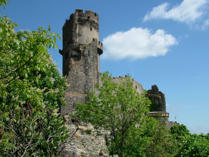
Photo credits : Pixabay
 Updated on 18 December 2025 by Office de Tourisme Terra Volcana, les Pays de Volvic