
Via Allier à vélo – Étape 08 – Pont-du-Château > Vic-le-Comte
Pont-du-Château
 Dogs allowed
Distance 26.8Km
Duration 1h40
Hiking route ALLER_ITINERANCE
Marking White bicycle road sign on green background.
In pictures

Route description
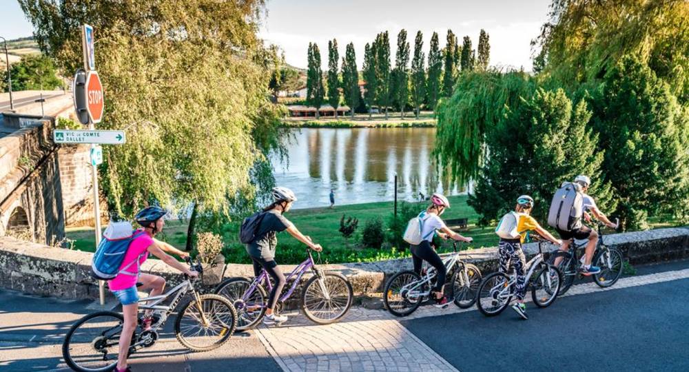
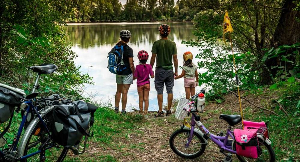
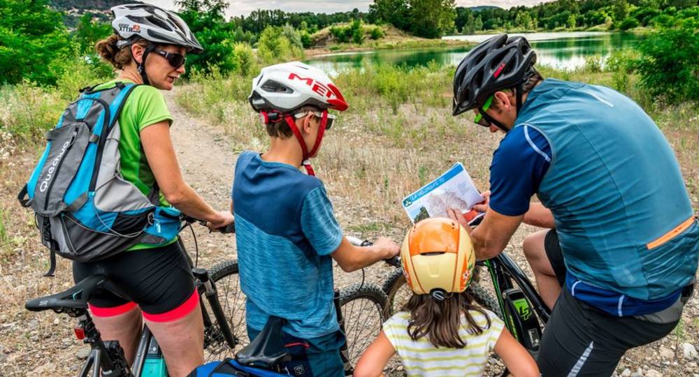
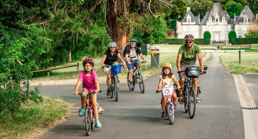
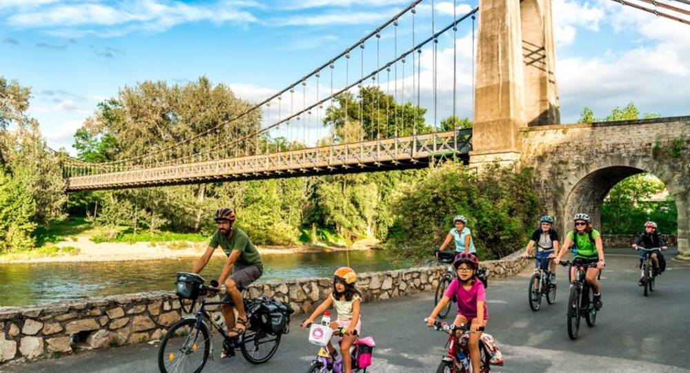
On this leg, the Via Allier cycle route follows the comfortable Grand Clermont greenway, due to be completed by the end of 2023.
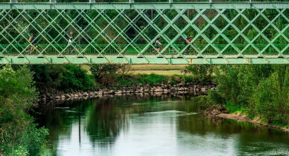
It starts at Pont-du-Château, a former port in the Clermont-Ferrand region from which wood, coal, wine, Volvic stone and hemp were shipped to Paris from the 16th to the 19th centuries. The route passes from one bank of the Allier to the other in a succession of natural scenes. It(…)
Trail highlights
Don’t miss :
> Read about a day out with friends : www.auvergne-destination.com/experiences/une-journee-entre-amies-sur-la-via-allier/
● Vertaizon (off-course) : Notre-Dame Gothic church : this ancient church sits atop a volcanic mound. Formerly attached to a feudal castle demolished on Richelieu’s orders.
● Clermont-Ferrand (off route) : the capital of the Auvergne region, Clermont-Ferrand is a dynamic, student-focused city. A tramway line links the two old centers of Clermont and Montferrand. Highlights : Gothic cathedral, Romanesque basilica, Montferrand medieval quarter, L’Aventure Michelin, Royat-Chamalières spa…
● AOC Côte d’Auvergne wine production in Dallet, Mezel, Vertaizon, Chauriat, La Roche-Noire, Mirefleurs, Laps, Saint-Maurice-ès-Allier, Vic-le-Comte : the Côtes d’Auvergne protected designation of origin (AOC) includes 5 local names in addition to the generic appellation : Madargue, Châteaugay, Chanturgue, Corent and Boudes. Gamay, Pinot Noir and Chardonnay are the main grape varieties grown. Info : Fédération Viticole du Puy-de-Dôme.
● Chauriat (via the alternative route) : Village forts : at the end of the Middle Ages, village forts developed : almost 140 forts have been identified in the Grande Limagne area. These fortified complexes were created in response to the insecurity that prevailed from the end of the 13th century, and which developed during the Hundred Years’ War. As the lords were no longer obliged to defend their villages, the inhabitants organized themselves to reinforce the buildings. Saint-Julien church : a former Cluniac building.
● La Roche-Noire / Pérignat-sur-Allier : Ecopôle du val d’Allier : embraced by the meander of the Allier known as the “Gondole”, the ecopôle du val d’Allier covers 140 ha. Formerly gravel pits, it has gradually been rehabilitated as a natural area. The area is bordered by an alluvial forest of willows, oaks and poplars.
● Busséol (by the variant) : fortified castle : once the stronghold of the Counts of Auvergne and the most historic royal estate in the province. It is now furnished and inhabited. The fireplace dates from the 12th century. In the inner courtyard, an exceptional garden with a beautiful panorama.
● Vic-le-Comte : a must-see in this “Petite Cité de Caractère” town is the church of Saint-Pierre : the choir is the former 16th-century Sainte-Chapelle, whose exterior is adorned with a cornice of fantastic animals. Inside, it is topped by an Italianate tribune which, like the Renaissance altarpiece, was perhaps commissioned by Catherine de Médicis.
● Markets : Pont-du-Château : Thursday and Saturday mornings / Mur-sur-Allier (Mezel) : Thursday mornings / Vertaizon : Friday mornings / Chauriat : Wednesday mornings / Pérignat-ès-Allier : Saturday mornings / Vic-le-Comte : Thursday mornings
Guidebook with maps/step-by-step
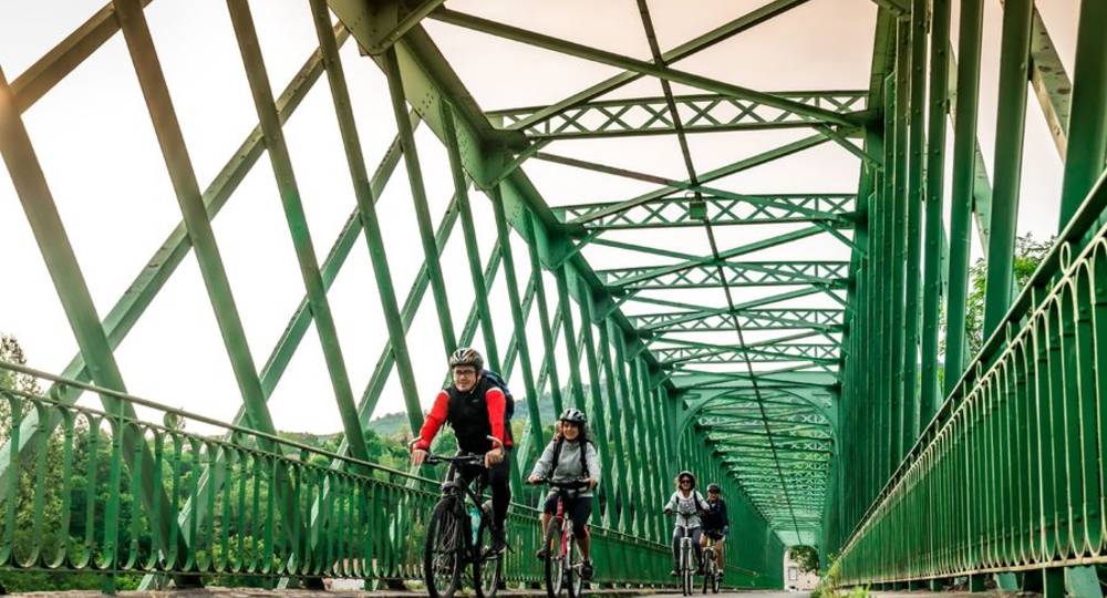
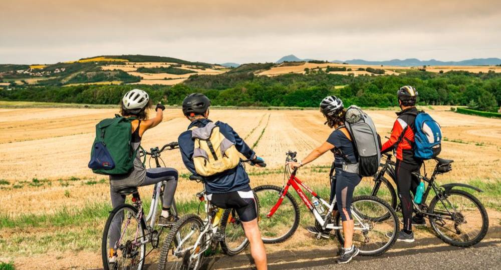
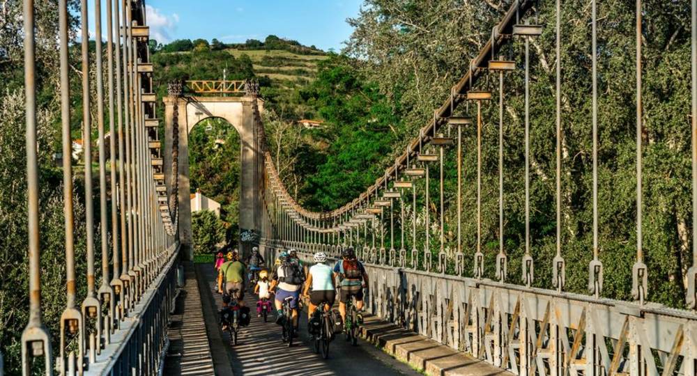
Step 783 : Au rond-point prendre en face pour traverser l’Allier par le pont métallique et atteindre Dallet. La Via Allier s’écarte de la rivière pour rejoindre Vic-le-Comte, en traversant Mur-sur-Allier, Saint-Bonnet-lès-Allier, Ceyssat. On voit ici apparaître le relief volcanique de la région et les premières “vraies” montées depuis Nevers font leur entrée. Pour récompense, profitez des points de vue depuis le puy de Mur puis celui du bas de la butte du château de Busséol à 572 mètres d’altitude.
Liaisons pour rejoindre les villages de caractère environnants :
Il faut s’éloigner de la Via Allier pour atteindre Chauriat, Bansat, Busséol
Liaison vers la boucle cyclosportive ” Le Circuit de la Comté, villages et châteaux perchés “. En sortant de Saint-Georges-ès-Allier par la D118 vers Saint-Julien-de-Coppel.
Opening hours
All year round daily.
Subject to favorable weather.
Comfort, facilities and services
- Pets welcome
Dogs allowed
Environment
Overview on river, In the country
Downloadable :
You might also like…

Photo credits : Alba Photographie / Auvergne-Rhône-Alpes Tourisme, Alba Photographie / Auvergne-Rhône-Alpes Tourisme, Alba Photographie / Auvergne-Rhône-Alpes Tourisme, Alba Photographie / Auvergne-Rhône-Alpes Tourisme, Alba Photographie / Auvergne-Rhône-Alpes Tourisme, Alba Photographie / Auvergne-Rhône-Alpes Tourisme, Alba Photographie / Auvergne-Rhône-Alpes Tourisme, Alba Photographie / Auvergne-Rhône-Alpes Tourisme, Alba Photographie / Auvergne-Rhône-Alpes Tourisme, Alba Photographie / Auvergne-Rhône-Alpes Tourisme, Alba Photographie / Auvergne-Rhône-Alpes Tourisme, Alba Photographie / Auvergne-Rhône-Alpes Tourisme, Caroline Ségoni
 Updated on 23 August 2024 by Auvergne-Rhône-Alpes Tourisme