
Villeneuve, Boudes, Chalus
Villeneuve
 Dogs allowed
Distance 9Km
Duration 3h00
Hiking route BOUCLE
Marking Yellow
In pictures


Route description
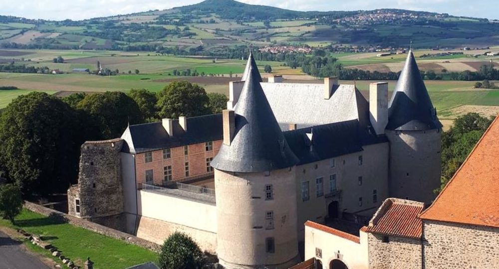
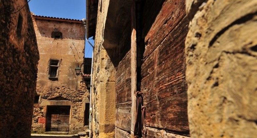
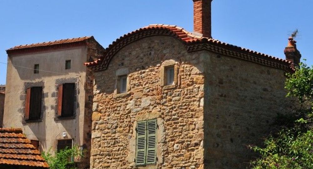
This route takes you back in time of three villages marked by the power of the former local lords, the Chalus and Aureilles (castles, village fort, keep, churches and castle chapels, statue of Saint-Verny).
Starting point – From the starting point (15th century church and Renaissance castle), walk along the church, go up on the left and continue along the Chemin de Mousteloux. After the second stone cross, continue straight up (leaving another PR on the right) to reach the pass (641 m) ignoring(…)
Trail highlights
– 15th-century church and Renaissance château.
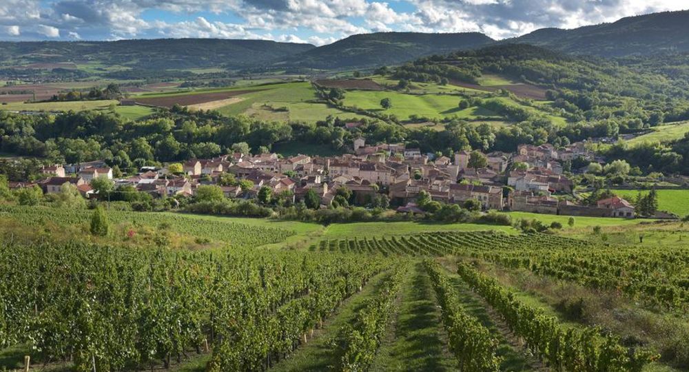
– View of Boudes (its ochre soils, the Dauphiné d’Auvergne), Nonette, Saint-Germain-Lembron, the Livradois, Vodable, Solignat, Villeneuve and the Lembron.
– Sainte-Foy castle and church.
– Sainte-Madeleine chapel.
Guidebook with maps/step-by-step
Step 1 : From the start sign (15th-century church and Renaissance château), walk alongside the church, turn left and continue along the Chemin de Mousteloux. After the second stone cross, continue straight up (leaving another PR on the right) to reach the pass (641 m), ignoring the side paths. Descend to Boudes, between woods and meadows, until you reach the first vineyards (view of Boudes, its ochre soils, the Dauphiné d’Auvergne).
Step 2 : Go left over the vineyards, up the hillside, then down the first track to Boudes. Turn left onto the D48 for 10 m, then right into a small passageway leading to the Place de la Mairie. Drive along the square, past the weighbridge and continue along rue du Coufin, then onto the D48. After 250 m, at a shed, turn left up a wide dirt track to a crossroads overlooking the Château de Chalus (view of Nonette, Saint-Germain-Lembron, Livradois).
Step 3 : Climb left to reach Chalus. Cross the D125 and, at Place de la Fontaine, head for the château (château and Sainte-Foy church). Go around it to the right on Rue du Rabichou, then left on a track. At the cemetery (view of Vodable, Solignat, Villeneuve, Lembron), continue downhill. Turn left, then right on a small road (Chapelle Sainte-Madeleine). At the crossroads, turn left on a wide track down the hillside to the second crossroads.
Step 4 : Go left up the hill, then right after approx. 70 m. At the junction of five paths, continue up the widest one. At the crossroads, turn right between the stone wall and a water well to return to the starting point.
Proposed and managed by the Conseil départemental du Puy-de-Dôme – PDIPR.
Opening hours
From 01/01 to 31/12 daily.
Subject to favorable weather.
Comfort, facilities and services
- Pets welcome
Additional information
For your own safety, always take a bottle of water, a hat, warm clothing and footwear suitable for walking.
Depending on weather conditions, certain itineraries are not recommended in bad weather (fog) or are not practicable, or even forbidden, during the winter season.
Some sites are fragile, so stay on the marked trails. Avoid picking wild flowers and disturbing wildlife. Pick up your garbage.
Animals are not allowed on some routes.
Dogs allowed Dogs must be kept on a leash due to the presence of herds.
Environment
In the country, Presence of livestock and guard dogs
Access
From Saint-Germain-Lembron (12 km south of Issoire), head for Boudes. Join Villeneuve-Lembron. Parking on the esplanade in front of the château.
Downloadable :
Photo credits : Andrelle Metillon, Joel Damase, N. Dutranoy – Pays d’Art et d’Histoire Val d’Allier Sud, N. Dutranoy – Pays d’Art et d’Histoire Val d’Allier Sud
 Updated on 29 May 2026 by Conseil départemental du Puy-de-Dôme