
Vodable and Colamine
Mareugheol
 Dogs allowed
Distance 11Km
Duration 3h15
Hiking route BOUCLE
Marking Yellow
In pictures
Route description
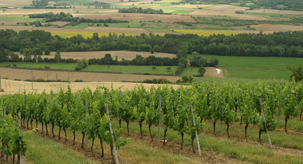
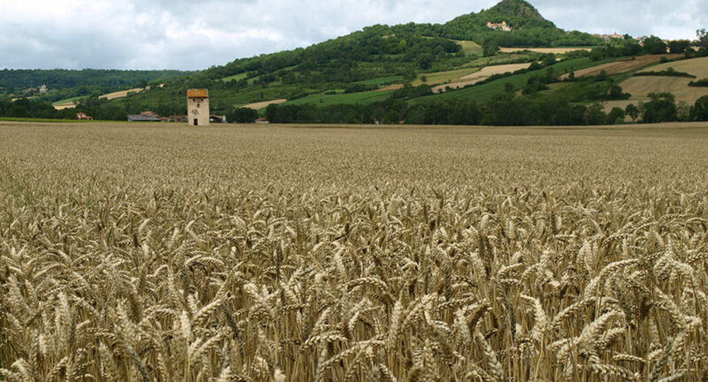
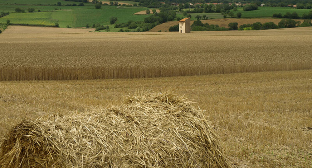
A hike through the Lembron valley, south of Issoire.
Starting point – From the starting sign located on a bus shelter, go down rue du Fort. Turn right, go between the fountain and the washhouse (Fort Villageois, church). At the end of the square, go up on the left the rue des Jardins then the rue du Teurail. At(…)
Trail highlights
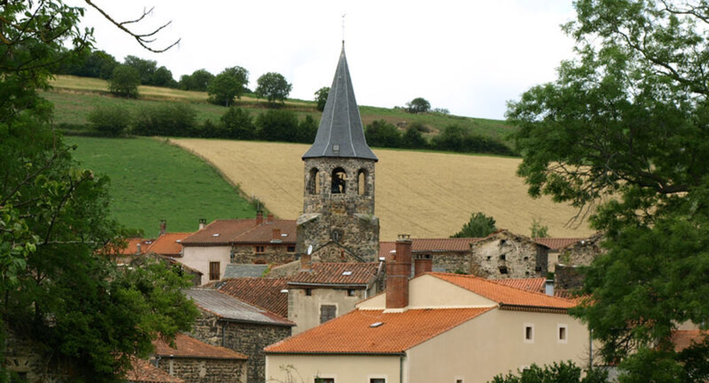
– Small heritage features : fountain and washhouse, stone and iron crosses, bread oven and churches.
– View over the Lembron plain and villages.
– View of the Chaîne des Puys.
– Ronzières church.
– View of the Gergovie and Corent plateaus.
– View of Vodable, Solignat, Forez and Livradois.
Guidebook with maps/step-by-step
Step 1 : From the start sign on a bus shelter, walk down Rue du Fort. Turn right, passing between the fountain and the wash-house (Fort Villageois, church). At the end of the square, turn left into rue des Jardins, then rue du Teurail. At the T junction, turn left and continue straight on to the first crossroads after leaving the village (stone cross, view of the plain and Lembron villages).
Step 2 : Go downhill to the left. Cross the road and continue straight ahead for 150 m. Turn right along a damp ditch and continue as far as a footbridge across the Lembronnet. Immediately turn left along the stream. At Antoingt, turn left as far as Place de la Fontaine.
Step 3 : Turn right and drive around the church via Place du Foussat (octagonal bell tower, information panels, shoeing machine). At Place de l’Église, turn right. At the end of Place du Square, go up Rue de la Pougère. At the crow’s-foot, continue straight ahead on chemin du Chamaret. At the first crossroads (iron cross), go straight ahead. At the fork, take the right-hand path to Vodable. At the Croix de Nazareth (cross, wash-house, fountain), turn left. After 150 m, cross the Chemin des Remparts and climb the narrow Rue de l’Église (15th-century Christ). Cross the Place du Marchidial (fountain). Go through the gate (Porte Neuve) and turn left up rue du Rocher to a flat area.
Step 4 : Go right up the Chemin de Panassat (view of the Chaîne des Puys, Ronzières church, Gergovie, Corent and Pierre-sur-Haute plateaus). Ignore the paths to the right until you reach an old oven. Go downhill to the right, then immediately left onto a grassy path for 30 m. Turn left again. In front of the château entrance, turn right into Rue des Dauphins d’Auvergne, then down Rue de la Liberté. At the bread oven, continue down rue Gaultier de Biauzat. Cross the D124 to go straight to the church (11th-century Colamine Romanesque). Cross the cemetery and join a small road. Turn right. At a crossroads (iron cross), continue along the road to the left. After a farm shed, turn left down a wide track to a crossroads (view of Vodable, Solignat, Livradois, Forez).
Next step
Step 5 : Go left downhill to a wash-house and drinking trough. Turn right across Longchamp to Place du Coudart (fountain and wash-house). Turn left onto chemin du Bourly. Take the road directly to Mareugheol (view over the plain and villages of Lembron, Forez and Livradois).
Proposed and managed by the Conseil départemental du Puy-de-Dôme – PDIPR.
Opening hours
From 01/01 to 31/12 daily.
Subject to favorable weather.
Comfort, facilities and services
- Pets welcome
Additional information
For your own safety, always take a bottle of water, a hat, warm clothing and footwear suitable for walking.
Depending on weather conditions, certain itineraries are not recommended in bad weather (fog) or are not practicable, or even forbidden, during the winter season.
Some sites are fragile, so stay on the marked trails. Avoid picking wild flowers and disturbing wildlife. Pick up your garbage.
Animals are not allowed on some routes.
Dogs allowed Dogs must be kept on a leash due to the presence of herds.
Environment
In the country, Mountain view, Presence of livestock and guard dogs
Access
From Issoire, head for Solignat (D32) for 4 km. Turn left onto the D717 to Mareugheol. Park on the right, facing the west side of the village fort.
Downloadable :
Photo credits :
 Updated on 29 May 2026 by Conseil départemental du Puy-de-Dôme