
Yssac la Tourette
Châtel-Guyon
 No dogs allowed
Distance 8.2Km
Duration 2h00
Hiking route BOUCLE
Marking Blue markings
In pictures

Route description
From Riom, take the D227 towards Châtel-Guyon. Enter the town via Avenue de l’Europe. Turn right after the old railway station (La Mouniaude).
Guidebook with maps/step-by-step
Step 1 : Departure point : Office de Tourisme. Follow Avenue de l’Europe to the traffic circle, then turn right onto Avenue Clémentel. Follow this up to the roundabout and take the allée du Souvenir. At the war memorial, take the path on the right. Cross the road and continue straight ahead. At the main road, turn right and continue to Yssac- la-Tourette.
Step 2 : Turn right for 20m and then left. At the crossroads, go straight ahead on rue de la Croix de Magne and left on rue de la Barrière. Turn
left on rue de Châtel-Guyon, then right on rue des Gras. Pass the church and turn left into rue des Caves. 300m further on, turn right.
Step 3 : Cross the bridge and take the 2nd right. Leave a track on your left, then turn left at the crossroads. Go straight up the grassy path to reach the road. Turn left downhill to cross Les Grosliers.
Step 4 : Place Robert-Martin, turn opposite rue Blaise-Marmoiton and continue along the grassy path. At the road, turn right, then left. At the Y, keep right. Enter the undergrowth along the stream. At the cross
cross the bridge. Climb up to the road. Cross the road, take rue de St-Coust, then left into rue du Nord, left again into rue du 8 mai and left again into allée du Souvenir.
Next step
Step 5 : Turn left around the Monument aux Morts. Walk down rue de Longpuy to the crossroads, then turn right into rue du Commerce. Take the 1st left onto rue Jeanne d’Arc, then immediately left. Cross the road and take rue de la Tour d’Auvergne opposite. Return to the starting point.
Opening hours
All year round daily.
Comfort, facilities and services
- Car park
- Free car park
- Public WC
Environment
In the country, In centre of town, Town location
Downloadable :
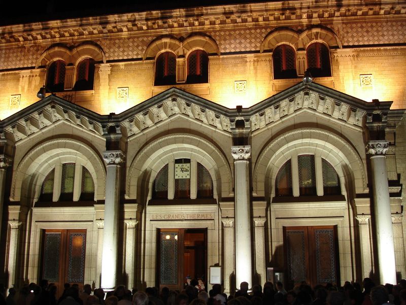
Photo credits : Pixabay
 Updated on 18 December 2025 by Office de Tourisme Terra Volcana, les Pays de Volvic