![]()
The pass Chamaroux
Anzat-le-Luguet
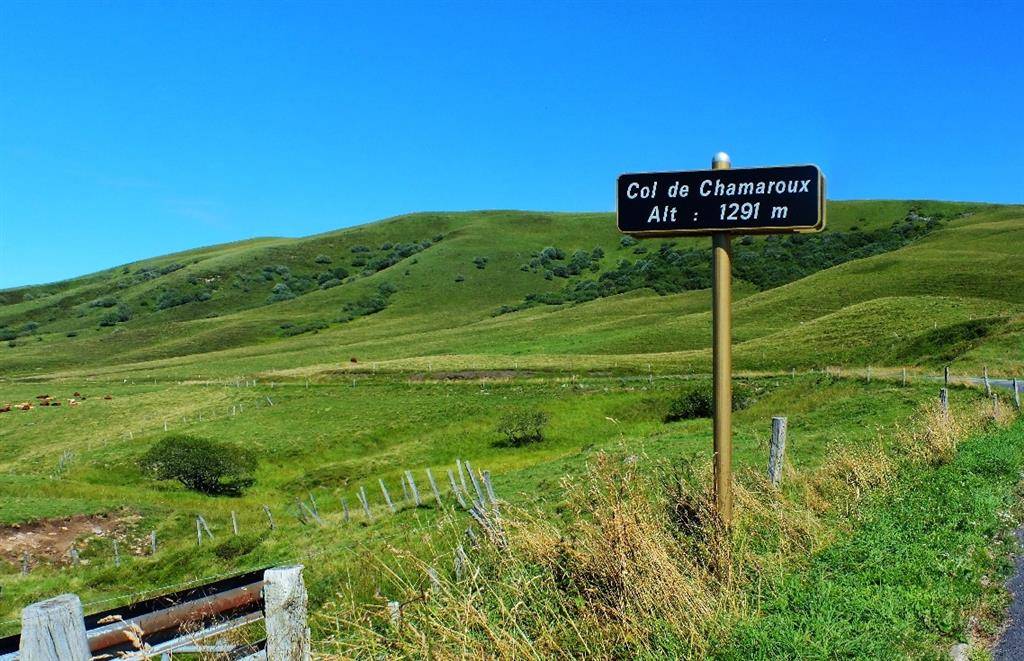
The Col de Chamaroux at 1291m marks the boundary between the communes of Anzat le Luguet and Saint Alyre ès Montagne. This is where the Couze d’Ardes rises ! From the top of Mont Chamaroux, a magnificent panorama awaits hikers !
Near the summit of Chamaroux (altitude 1476m), reddish-brown patches appear here and there : legend has it that this ancient volcano is still so hot that in some places the snow doesn’t last through the winter and the grass doesn’t grow. These are simply outcrops of lava slag, the topsoil having(…)
Spoken languages
Opening hours
All year round daily.
Prices and payment methods
- Free access.
Location
Environnements
Mountain location
Photo credits :