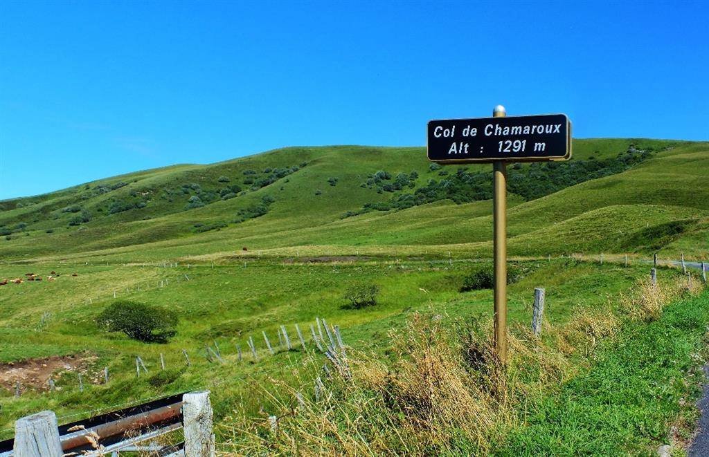
From the top of Mont Chamaroux, we overlook the Godivelle lakes and a magnificent panorama of the Sancy and Cézallier plateaus! This is where the Couze d’Ardes rises!
It’s interesting to note that the departmental boundary between Puy-de-Dôme and Cantal lies a good kilometer to the west, towards Montgreleix: the authorities were reluctant to draw a common dividing line either! Near the summit of Chamaroux (altitude 1476m), reddish-brown patches appear here and there: legend has it that this(…)
It’s interesting to note that the departmental boundary between Puy-de-Dôme and Cantal lies a good kilometer to the west, towards Montgreleix: the authorities were reluctant to draw a common dividing line either! Near the summit of Chamaroux (altitude 1476m), reddish-brown patches appear here and there: legend has it that this ancient volcano is still so hot that in some places the snow doesn’t stand up in winter and the grass doesn’t grow. These are simply outcrops of lava slag, the topsoil having failed to resist erosion. Cezallier is a Hawaiian-type volcanic formation. Mont Chamaroux is one of the peaks of this domed volcanic plateau. Access from Col du Chamaroux (take care when the road is open in winter). Dogs not recommended from April to October.
Spoken languages
/* col-6_sm-12 */ ?>
Opening hours
All year round daily.
Prices and payment methods
Free access.
Location
Environnements
Mountain location, Isolated, Presence of livestock and guard dogs
Mont Chamaroux Entre Boutaresse et Saillant 63420 Anzat-le-Luguet