![]()
Autour du plateau de Gergovie – Parcours trail
La Roche-Blanche
 Dogs allowed
Distance 12.5Km
Duration 1h30
Hiking route BOUCLE
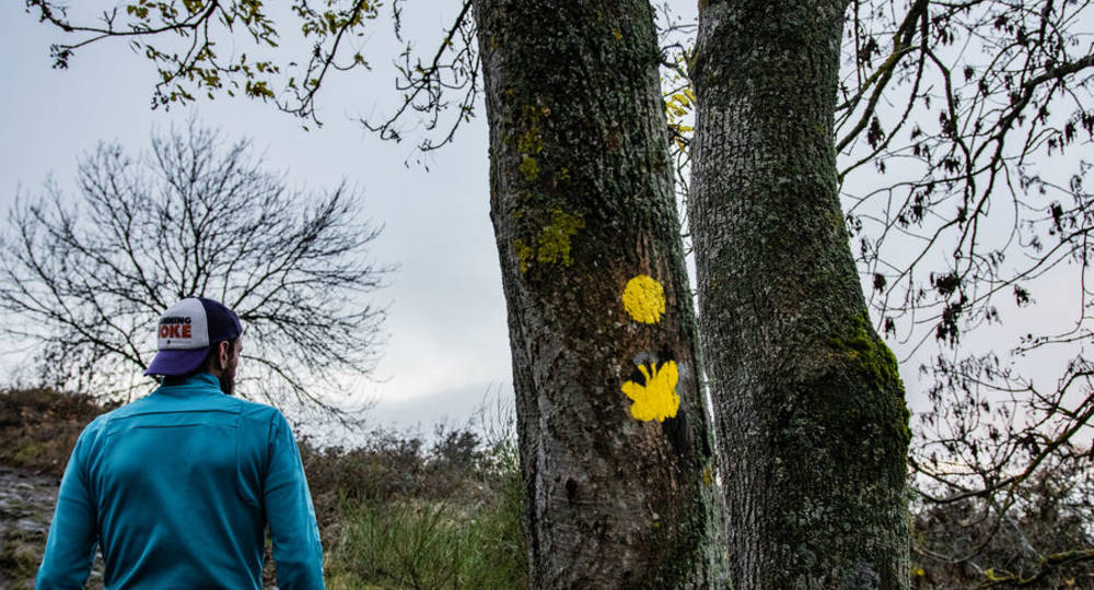
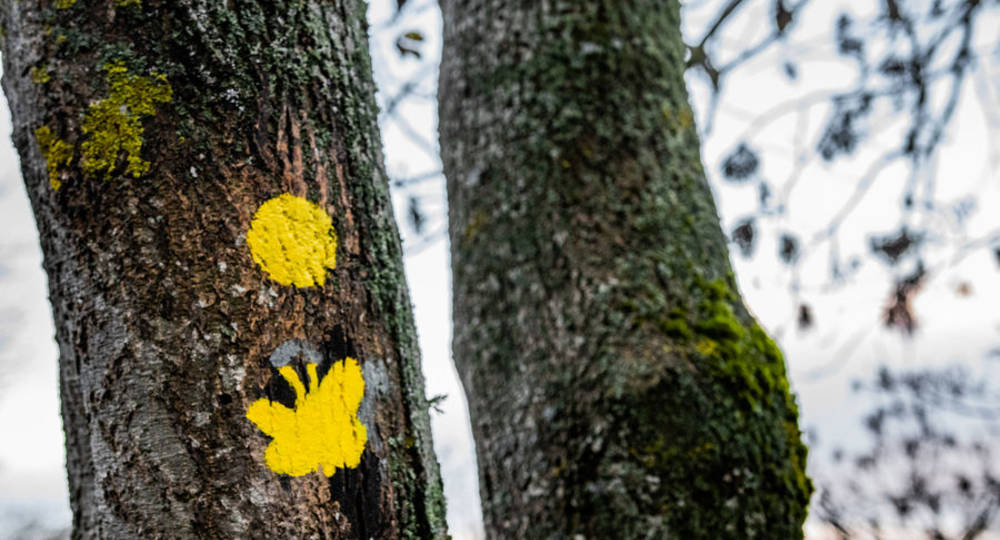
Marking Yellow
In pictures

Route description
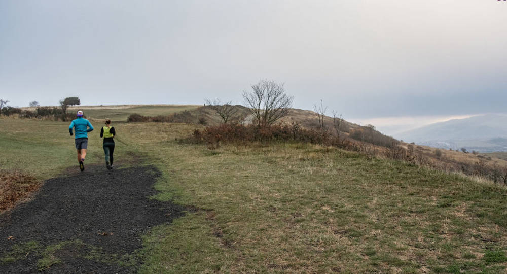
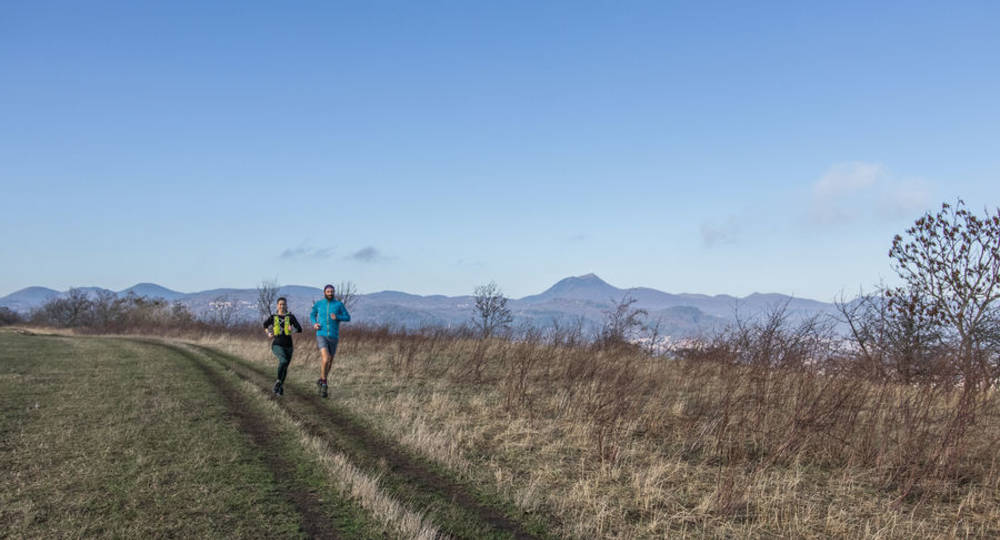
The Gergovie plateau overlooks the Clermont-Ferrand conurbation to the south. This was the site of the Battle of Gergovia in 52 BC, which saw Vercingetorix repel Julius Caesar’s troops.
Our route will take you around the upper part of the plateau before descending along the eastern flank, reaching the center of Romagnat before climbing back up to the plateau along the northern flank.
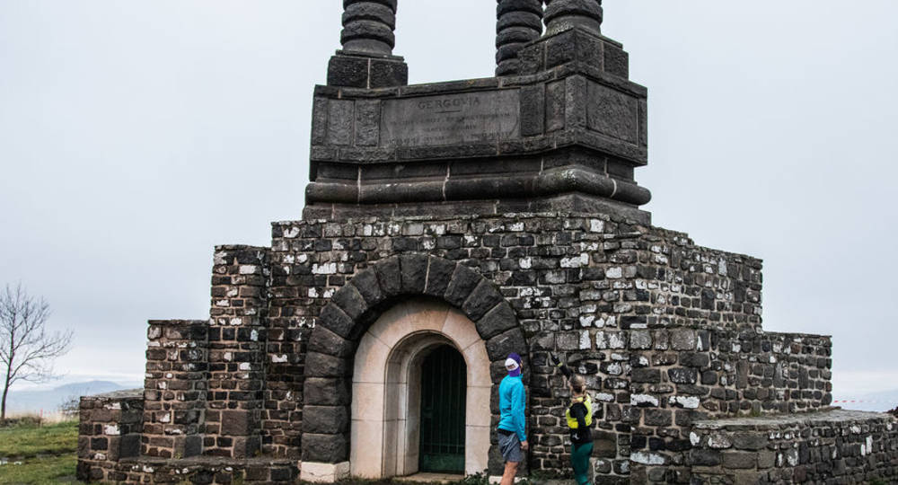
Start – From the parking lot, take the path to the left of the Hutte(…)
Trail highlights
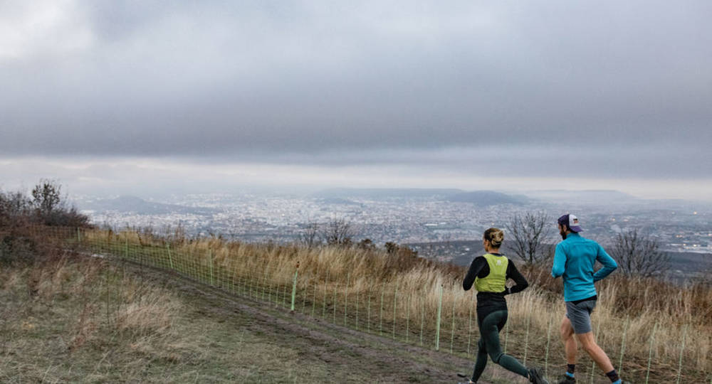
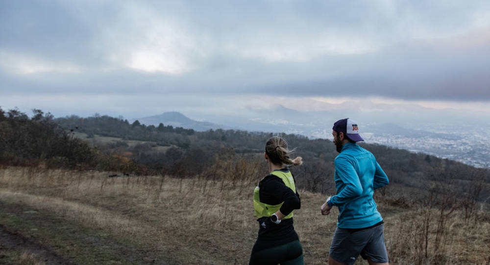
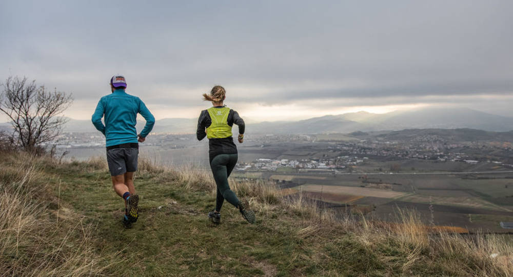
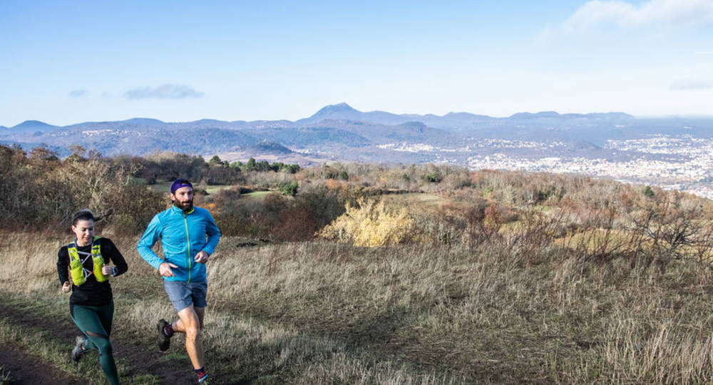
This itinerary offers a 360° view of the entire Puy-de-Dôme mountain range.
Guidebook with maps/step-by-step
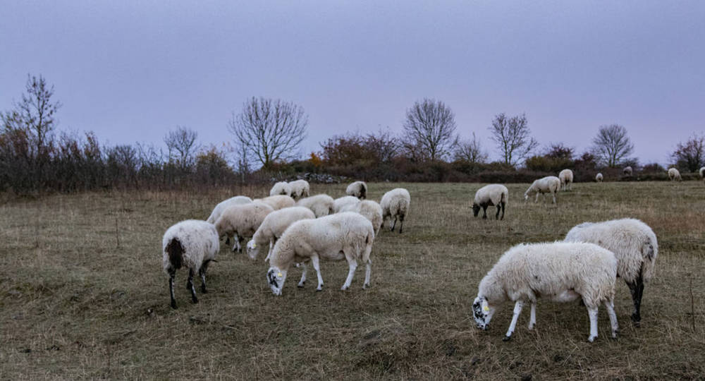
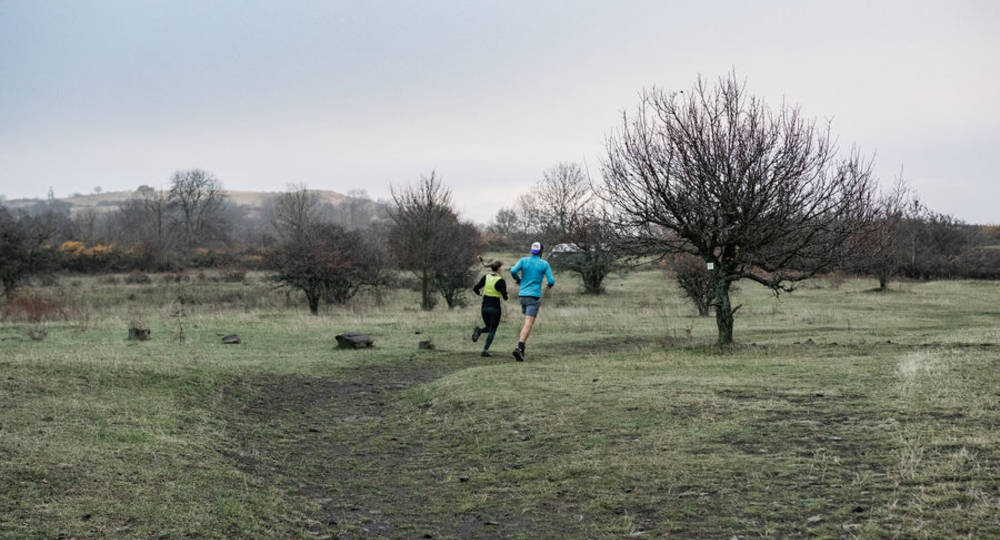
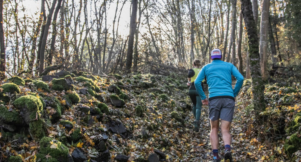
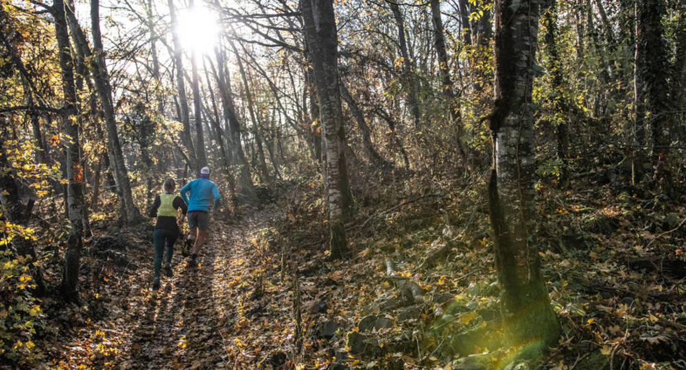
Step 1 : From the parking lot, take the path to the left of the Hutte Gauloise restaurant. Follow the signs and respect the sheep barriers. If you’re used to running with your dog, keep it on a leash to avoid frightening the animals.
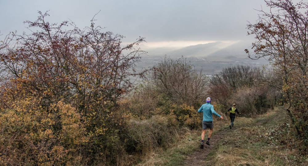
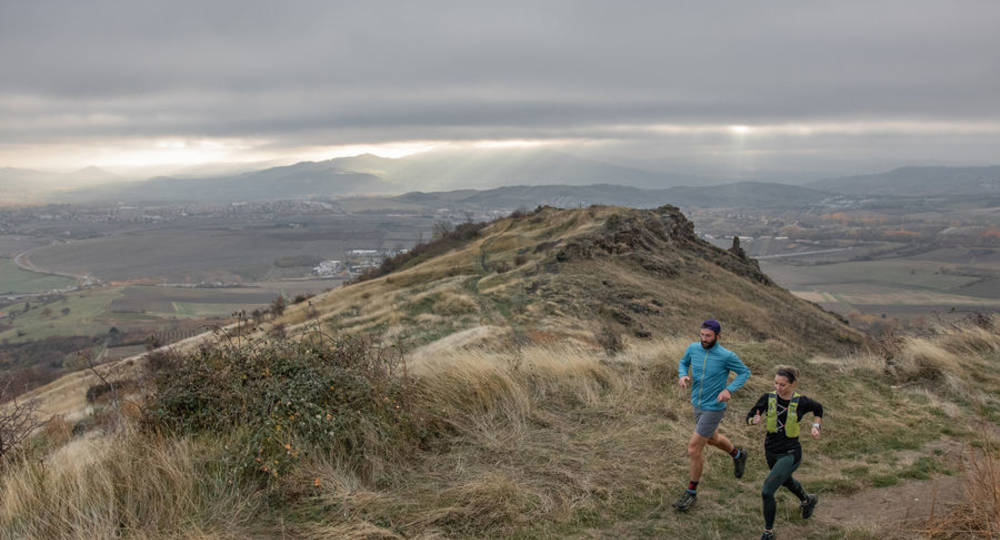
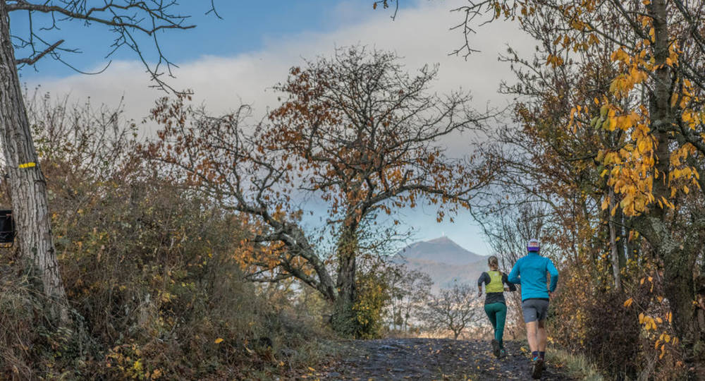
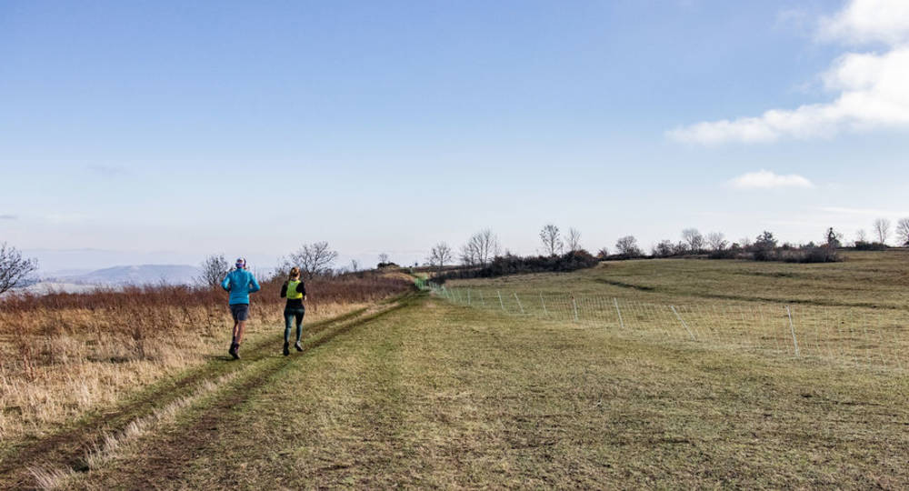
Step 2 : You’ll follow the edge of the plateau to the north. If the weather is fine, you’ll have a panoramic view of Clermont-Ferrand and the Chaîne des Puys. At the end of the plateau, the route turns left to take you back to the south, along the road that leads to the parking lot.
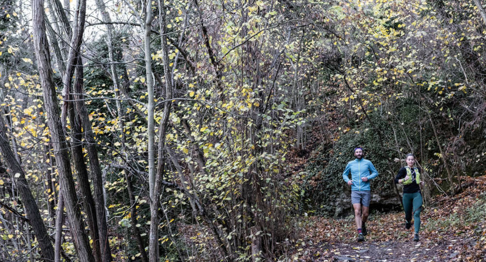
Step 3 : Back at the parking lot, take the right-hand descent past the Musée Archéologique de la Bataille. Follow the Puy Mardou trail for the moment. There are several variants with various junctions, so be careful.
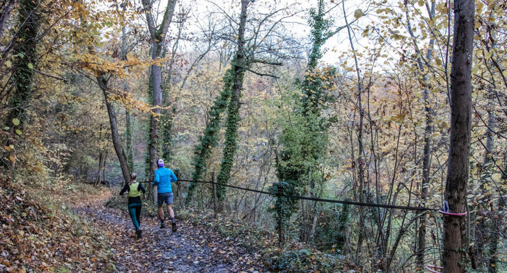
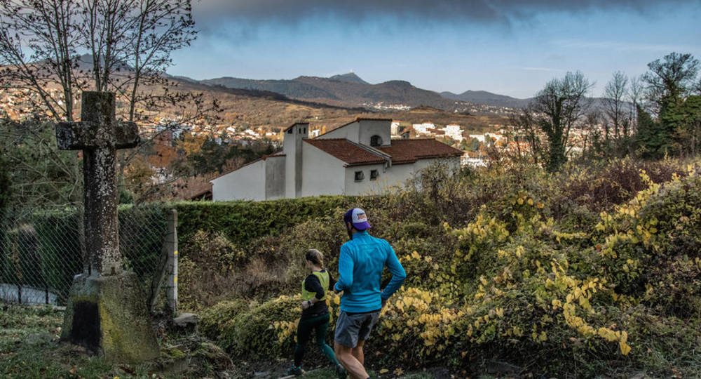
Step 4 : A little further on, at around km 4, the puy Mardou trail takes you to the outskirts of the village of Gergovie. Here, you’ll pass the first houses before taking a left turn to follow the ridge lines northwards to puy Mardou. 200 m further on, the path splits into crow’s feet. The puy Mardou path suggests you turn left. Stay to the right, however, to descend to the stables.
Next step
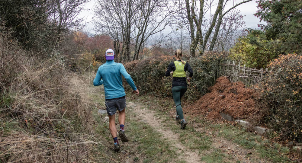
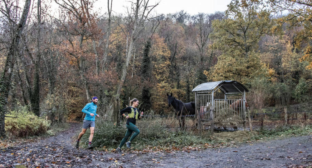
Step 5 : At km 6.5, you’ll come across the first horses in the stables. Here a fork in the road offers you two options. Turn left, heading west. A wide track takes you to the first houses in Romagnat. Be sure to follow the GPX track through this part of town.
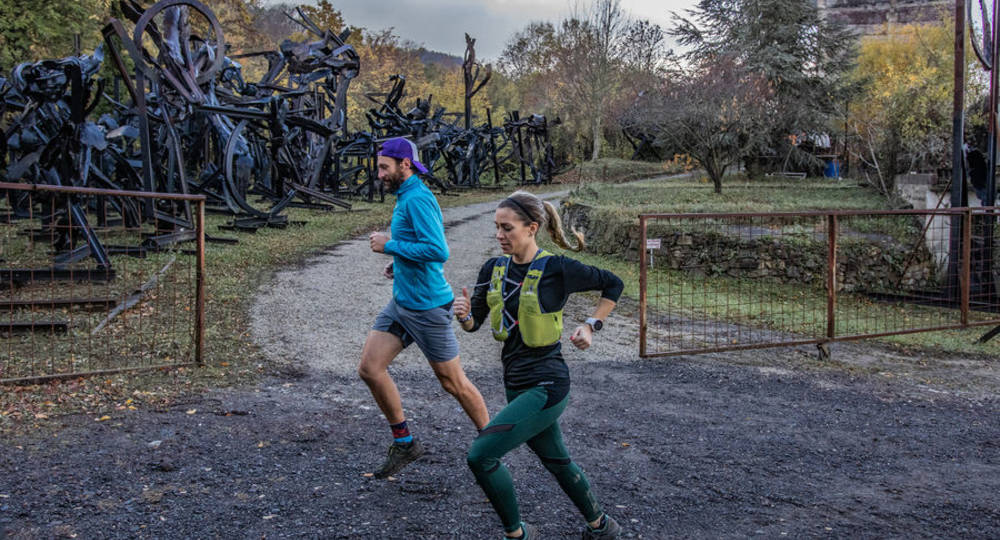
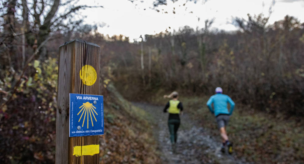
Step 6 : At km 9.5, you’ll come to the end of Rue des Fours-à-Chaux. Here you’ll find iron sculptures by Yves Guérin. Continue along the path that appears at the end of the road. Follow the yellow signposts and the Chemin de Compostelle signposts up to the Gergovie plateau.
Step 7 : At km 11, a short but steep single takes you back to the plateau. At the top, turn left to return in the opposite direction to the section you took at the start of your loop.
/* col-6_sm-12 */ ?>
Opening hours
From 01/01 to 31/12.
Subject to favorable weather.
Comfort, facilities and services
- Pets welcome
Dogs allowed
Environment
Town outskirts, Panoramic view
Downloadable :
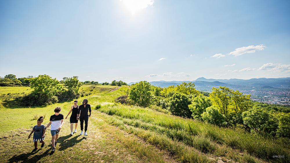
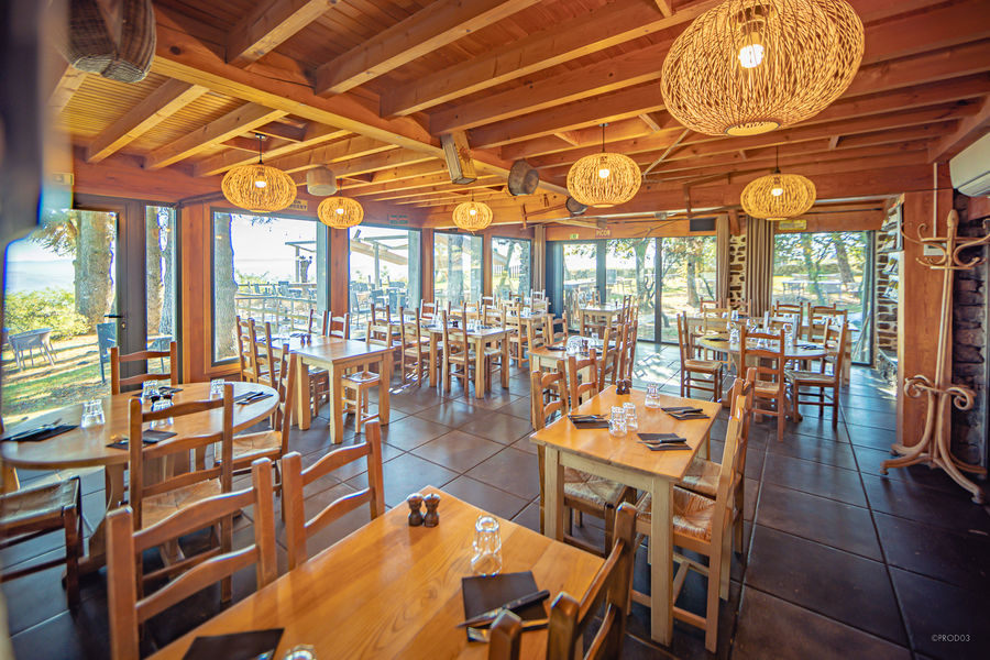
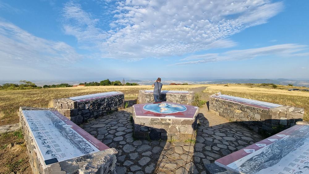
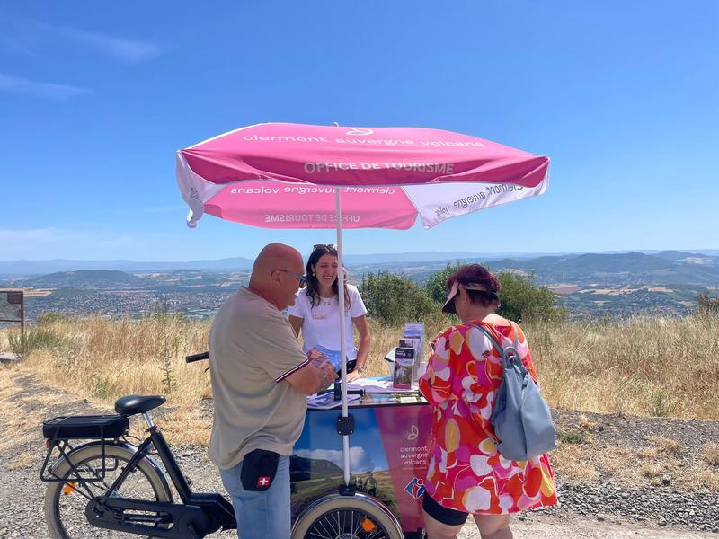
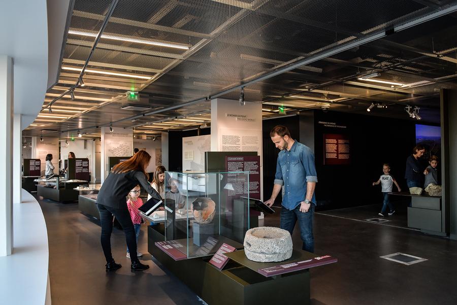

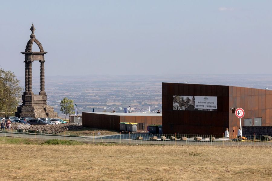
Photo credits : Conseil départemental du Puy-de-Dôme / Mickaël Mussard, Conseil départemental du Puy-de-Dôme / Mickaël Mussard, Conseil départemental du Puy-de-Dôme / Mickaël Mussard, Conseil départemental du Puy-de-Dôme / Mickaël Mussard, Conseil départemental du Puy-de-Dôme / Mickaël Mussard, Conseil départemental du Puy-de-Dôme / Mickaël Mussard, Conseil départemental du Puy-de-Dôme / Mickaël Mussard, Conseil départemental du Puy-de-Dôme / Mickaël Mussard, Conseil départemental du Puy-de-Dôme / Mickaël Mussard, Conseil départemental du Puy-de-Dôme / Mickaël Mussard, Conseil départemental du Puy-de-Dôme / Mickaël Mussard, Conseil départemental du Puy-de-Dôme / Mickaël Mussard, Conseil départemental du Puy-de-Dôme / Mickaël Mussard, Conseil départemental du Puy-de-Dôme / Mickaël Mussard, Conseil départemental du Puy-de-Dôme / Mickaël Mussard, Conseil départemental du Puy-de-Dôme / Mickaël Mussard, Conseil départemental du Puy-de-Dôme / Mickaël Mussard, Conseil départemental du Puy-de-Dôme / Mickaël Mussard, Conseil départemental du Puy-de-Dôme / Mickaël Mussard, Conseil départemental du Puy-de-Dôme / Mickaël Mussard, Conseil départemental du Puy-de-Dôme / Mickaël Mussard, Conseil départemental du Puy-de-Dôme / Mickaël Mussard, Conseil départemental du Puy-de-Dôme / Mickaël Mussard, Conseil départemental du Puy-de-Dôme / Mickaël Mussard, Conseil départemental du Puy-de-Dôme / Mickaël Mussard, Conseil départemental du Puy-de-Dôme / Mickaël Mussard