
Aydat and its puys
Aydat
 No dogs allowed
Distance 18Km
Duration 4h30
Hiking route BOUCLE
Marking Green
In pictures
 Visitor alert
Dogs on a leash are allowed on this hike, except at Puy de la Combegrasse during the grazing season (May through October), when they are prohibited, even on a leash.
Route description
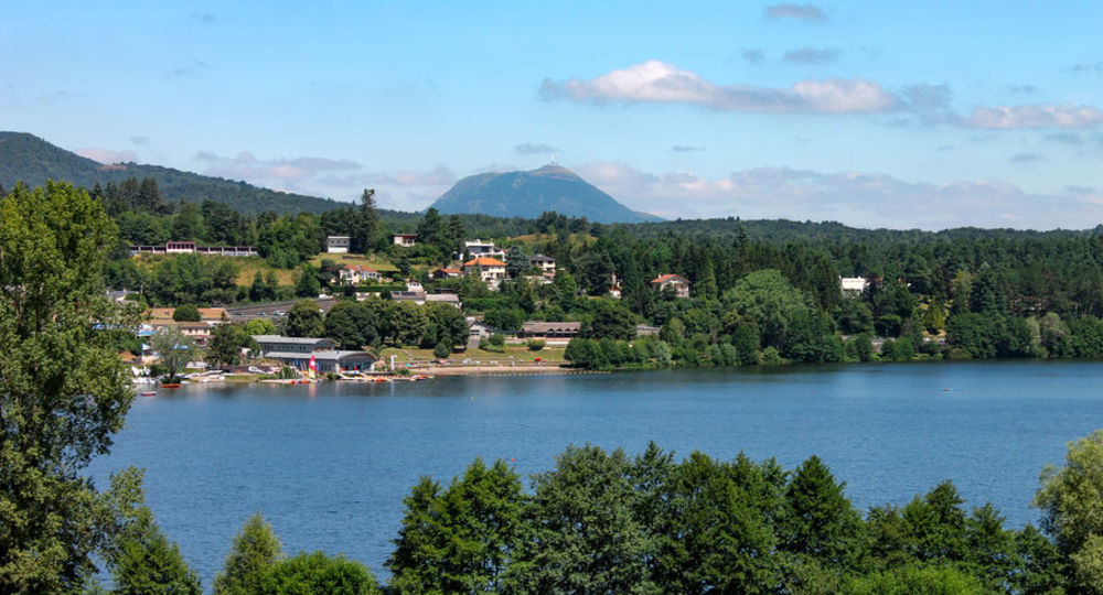
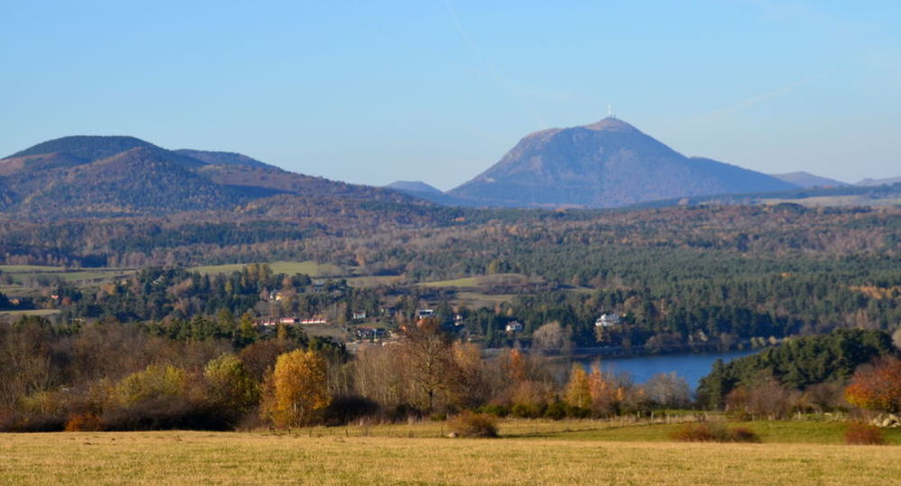
Lac d’Aydat offers a wide range of water-based activities, with a beach and water sports center. Views over the Chaîne des Puys provide a glimpse of the Auvergne landscape : lakes, volcanoes, villages, megaliths and agricultural valleys.
Trail highlights
– Panoramic views of the volcanoes.
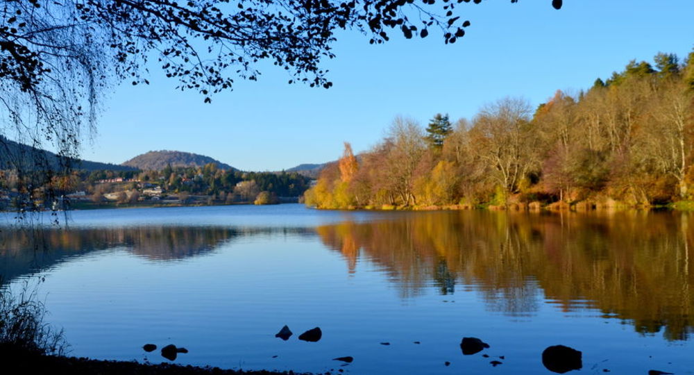
– Lac d’Aydat (825 m) : volcanic dam lake formed by a flow.
Guidebook with maps/step-by-step
Step 1 : Follow it to the right as far as a watering place, then turn left (Chemin de Charmont) ; at the intersection, turn left. At the next crossroads (another PR), go right up into the undergrowth, then, at the fork, continue uphill to the right, ignoring the side paths. The main path curves to the right, skirting the puy Charmont while remaining level, then gradually descends to a wide path in a clearing.
Step 2 : Follow this to the left, staying on the main path, skirting woods and meadows, ignoring side paths and footpaths. At the last wood, go straight on for 200m and turn onto the second track on the right (view of the Chaine des Puys). Continue to a T-junction. Go right for 400m until you come to a path on the left in a meadow.
Step 3 : Follow it. It runs alongside a broom hedge and then reaches a road. Follow this to the left for 40m, then turn left onto a wide track. Ignore two paths on the left and reach a road. Immediately afterwards, turn left (information sign, parking lot) up a stony path to a picnic area.
Step 4 : Climb to the left to reach an orientation table at the summit of Puy de Combegrasse. Continue on to a second orientation table (panoramic view) and back. On the way back, take the path on the right (signposted return to parking lot), always straight ahead, until you reach the picnic area 50m away. Turn left onto the wide path. At the crossroads, turn left along a grassy track to a tarmac road. Climb left to the top.
Next step
Step 5 : Turn right, then immediately right at the fork, and right again at the next fork, to enter the forest. Continue flat, then gradually uphill. At the intersection, turn right. Ignore all side paths until you reach a road. Follow it to the left. At a vacation village (with views of Lac d’Aydat, the Livradois and Forez), continue on the main road to point 5. Go downhill to the right. At the crossroads, turn right and continue straight on. At the houses, go down the Chemin des Puys to a fork (cross).
Step 6 : Go downhill to the right and, at the road, continue to the right until you reach a large road, cross it, go right for 50 m, then turn left (iron cross). Go straight downhill. At the electrical cabinet
Hike proposed and managed by the Conseil départemental du Puy-de-Dôme – PDIPR.
Opening hours
From 01/01 to 31/12 daily.
Subject to favorable weather.
Comfort, facilities and services
- Picnic area
Additional information
For your own safety, always take a bottle of water, a hat, warm clothing and footwear suitable for walking.
Depending on weather conditions, certain itineraries are not recommended in bad weather (fog) or are not practicable, or even forbidden, during the winter season.
Some sites are fragile, so stay on the marked trails. Avoid picking wild flowers and disturbing wildlife. Pick up your garbage.
Animals are not allowed on some routes.
Environment
In the country, Presence of livestock and guard dogs
Access
Towards Espace Loisirs, 20m after the junction with the D90, opposite Rue de l’Office de Tourisme.
You might also like…
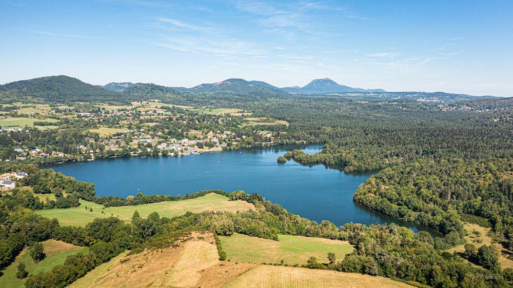
Photo credits : Mond’Arverne Tourisme, Conseil départemental du Puy-de-Dôme, Conseil départemental du Puy-de-Dôme, Conseil départemental du Puy-de-Dôme
 Updated on 4 August 2026 by Conseil départemental du Puy-de-Dôme