![]()
D’un puy à l’autre – Parcours trail
Aydat
 No dogs allowed
Distance 20Km
Duration 2h00
Hiking route BOUCLE
Marking Miscellaneous
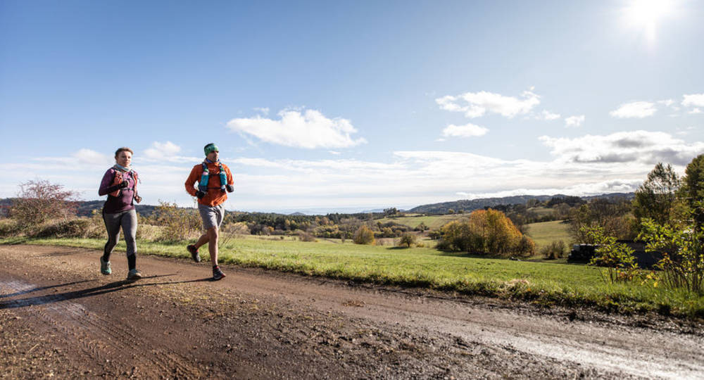
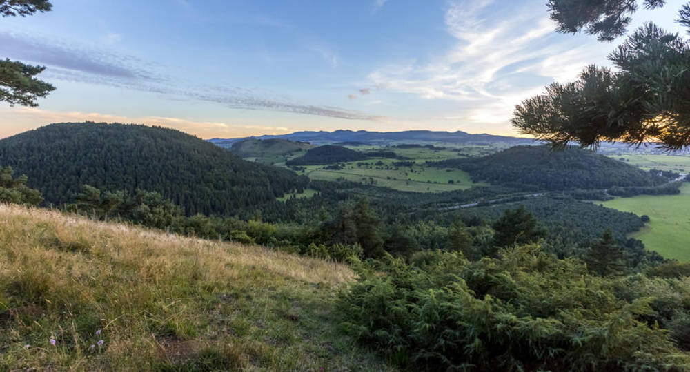
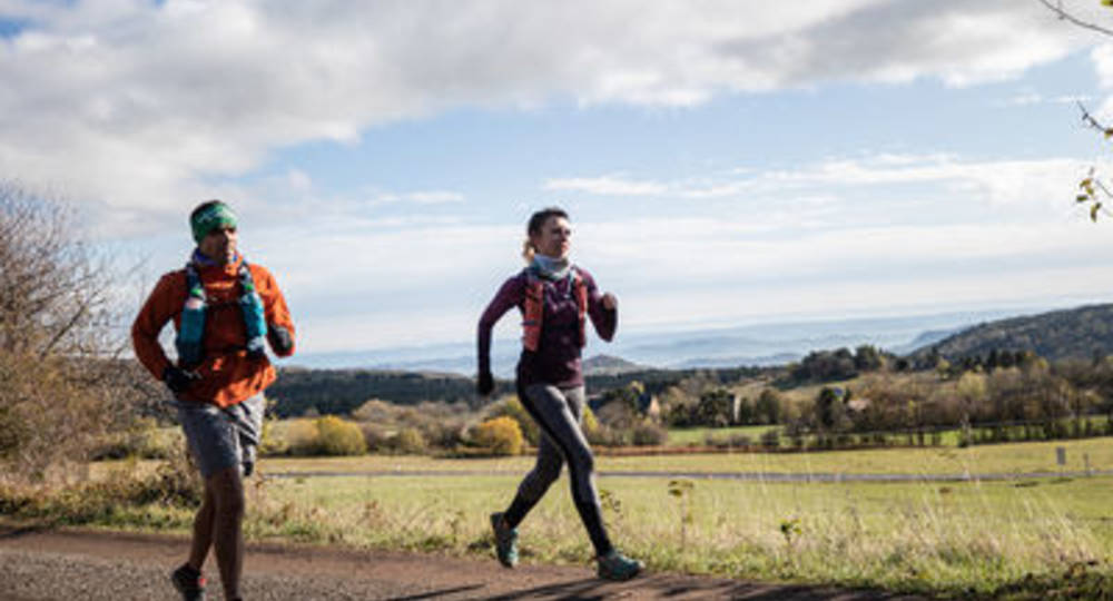
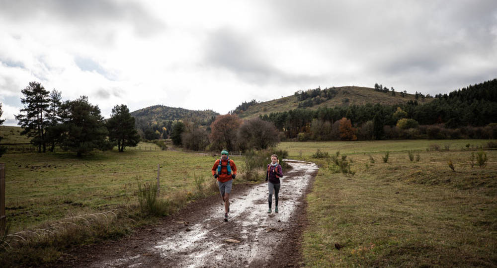
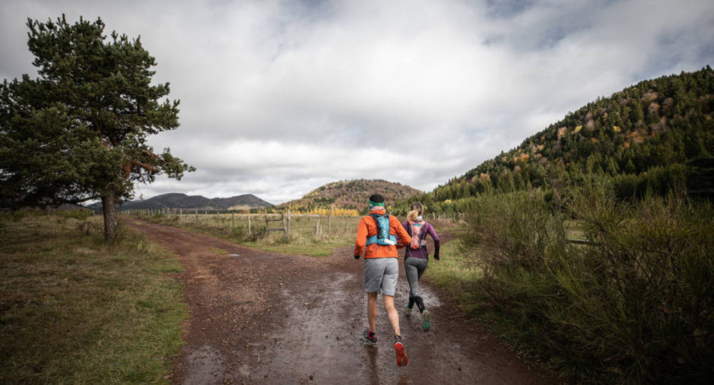
In pictures
Route description
The Chaîne des Puys includes 80 volcanoes in its line-up, stretching almost 32 kilometers from north to south.
This route takes you through the southernmost volcanic edifices of the Chaîne, passing over the summits of two remarkable puys : Combegrasse and Vichatel.
Departure point – From the rest area, cross the road at the crosswalk and follow it to the left. A wide path leads off to the(…)
Trail highlights
This itinerary allows you to discover several of the volcanoes of the Chaîne des Puys, while enjoying easy terrain to set the pace for your outing.
Guidebook with maps/step-by-step
Step 1 : From the rest area, cross the road at the crosswalk and follow it to the left. A wide path leads off to the right towards the puy de Vichatel. You’ll start your ascent straight away on a wide, easy path. Once you’ve reached the top, you can take advantage of the narrow path leading into the crater, or continue on your way to the summit.
Step 2 : At the summit, the path continues down the eastern flank and returns to the road near the Col de la Ventouse. Turn left onto a path which takes you northwards.
Step 3 : At the puy de la Vache parking lot, turn right onto a flat path with no real difficulties, which will take you to the junction of the Cassière and Aydat lakes.
Step 4 : At the interchange parking lot, turn right – don’t immediately cross under the road, but continue along the main road, crossing a little further on.
Next step
Step 5 : Once you’re on the other side of the road, take the wide track that veers off to the right. Follow this to the D213, which you will cross to reach the village of Fontclairant. Just before the village, turn right at the intersection, then right again a few hundred metres further on. You’ll see the Puy de Charmont on your right, and the Puys de la Rodde and Combegrasse on your left.
Step 6 : You’re about to climb the puy de Combegrasse ! Turn left onto the wide path leading up to the puy and around to the east. Once you’re south of the puy, you can follow the itinerary that takes you on a loop around the summit. Enjoy the breathtaking view of the Chaîne des Puys to the north, and the Sancy to the south. Continue on to the paths below and retrace your steps, this time heading north around Puy de Charmont.
Step 7 : Beware, there are numerous signposted intersections, so follow the trail carefully to stay on the puy bypass. Once north of the puy, turn left to join the main road and the rest area. You’re back where you started !
/* col-6_sm-12 */ ?>
Opening hours
From 01/01 to 31/12.
Subject to favorable weather.
Environment
Lakeside or by stretch of water, Waterside, Panoramic view
Downloadable :
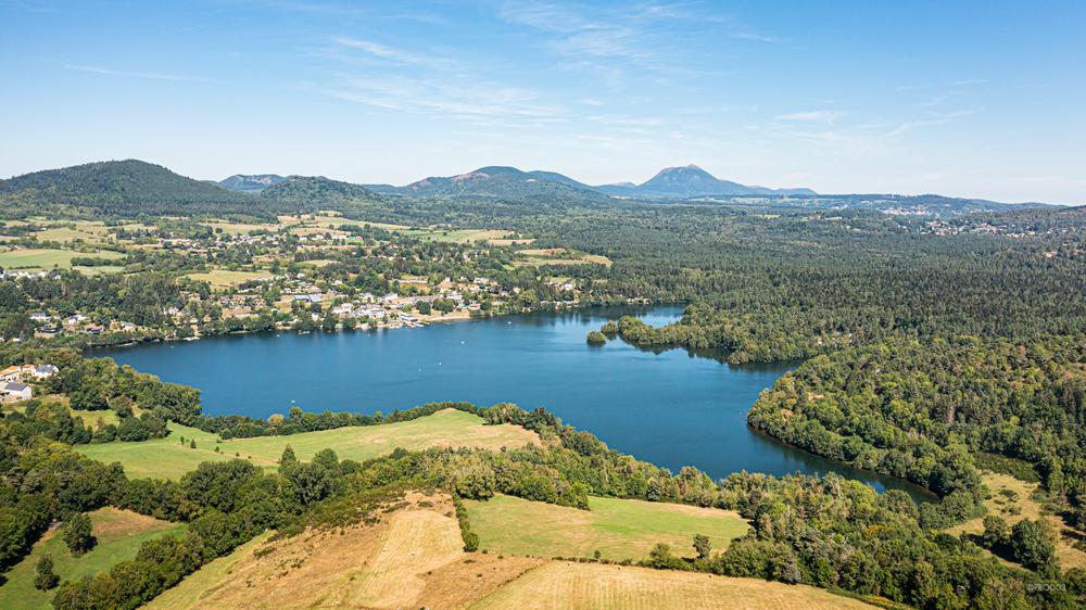
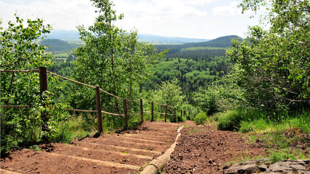
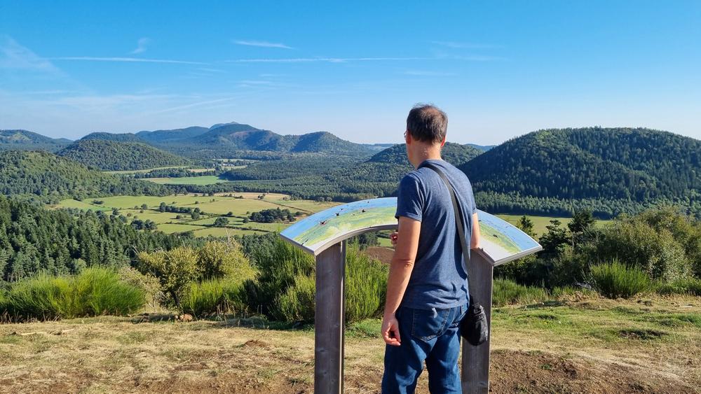
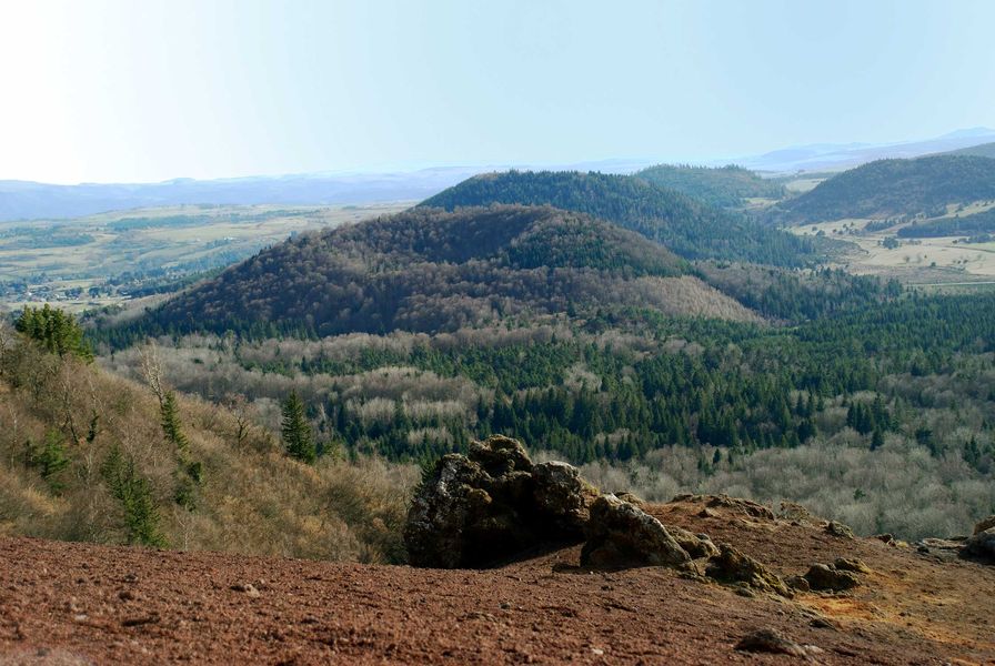
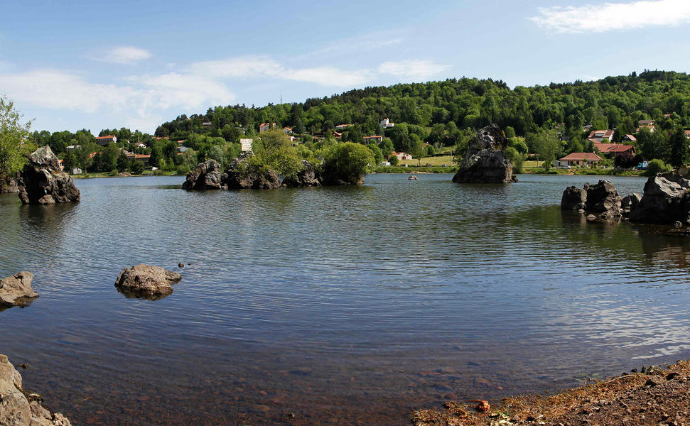
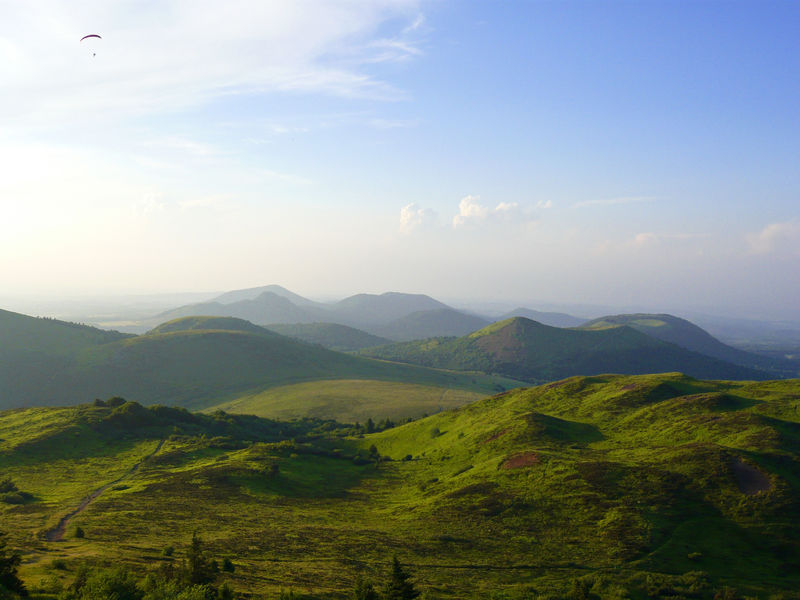
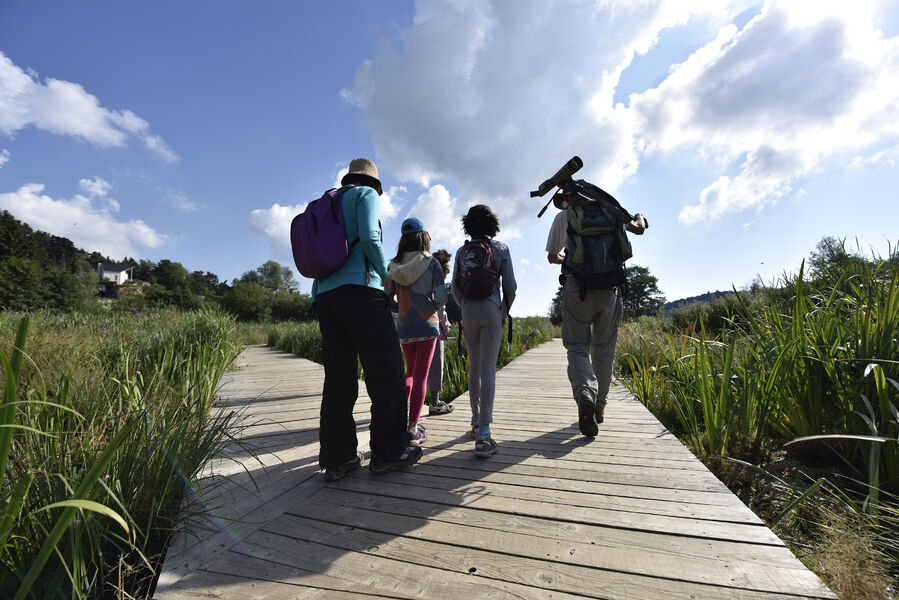
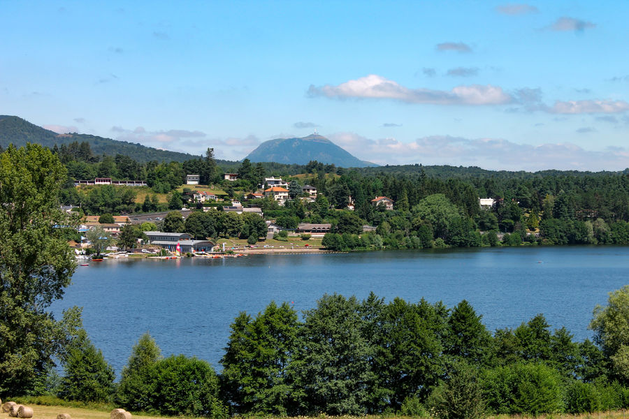
Photo credits : Conseil départemental du Puy-de-Dôme / Mickaël Mussard, Conseil départemental du Puy-de-Dôme / Mickaël Mussard, Conseil départemental du Puy-de-Dôme / Mickaël Mussard, Conseil départemental du Puy-de-Dôme / Mickaël Mussard, Conseil départemental du Puy-de-Dôme / Mickaël Mussard