![]()
From marsh to lava flow
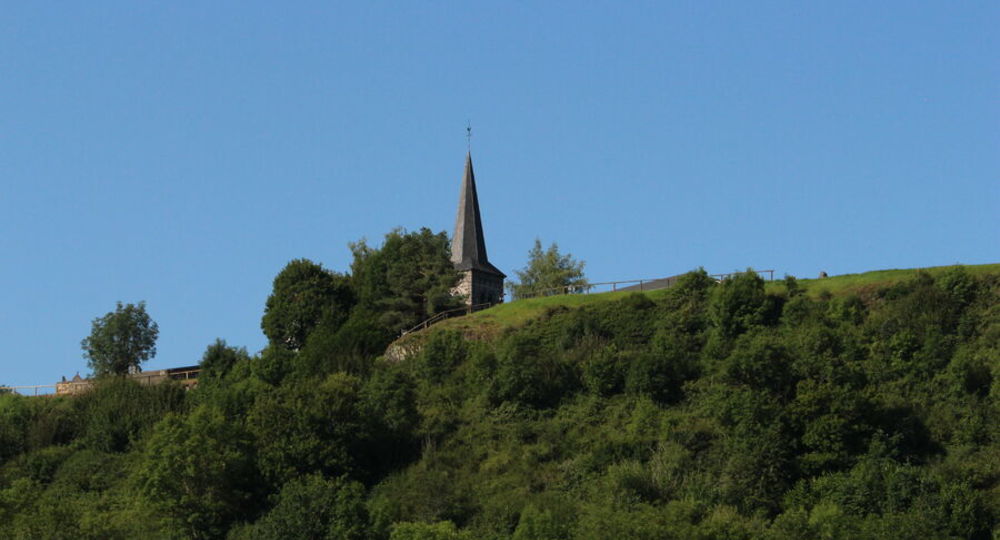
Saint-Pierre-le-Chastel
 No dogs allowed
Distance 7.5Km
Duration 2h00
Hiking route BOUCLE
Marking Blue
In pictures


Route description
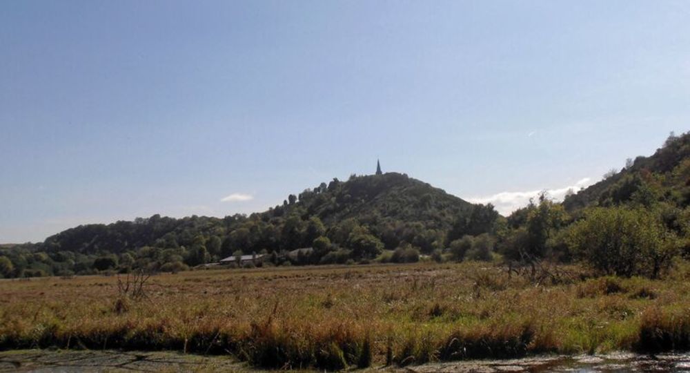
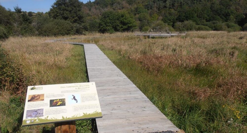
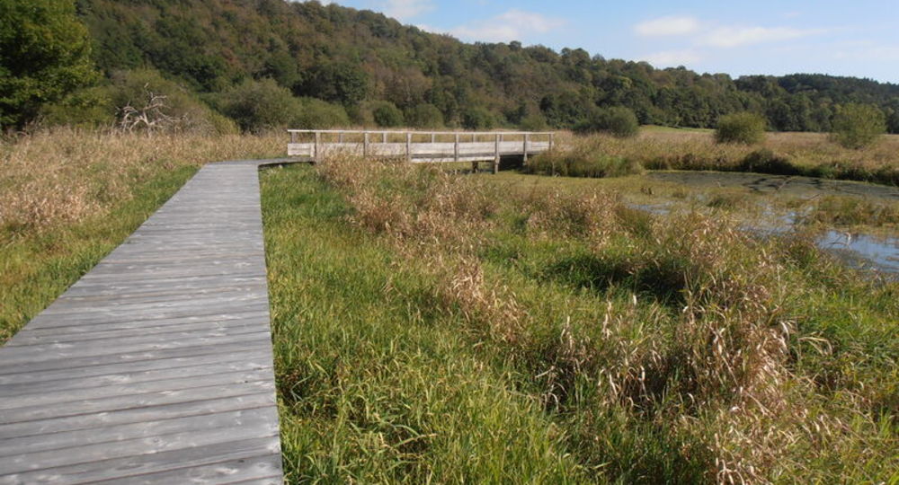
It’s a lovely walk that takes in the superb Paloux marshes, classified as a Sensitive Natural Area, and leads into the chaotic Tournebise mine, created by the lava of the Puy de Côme.
Guidebook with maps/step-by-step
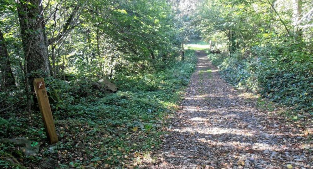
Step 1 : Go up to the right (view of Rey de Saint-Pierre). At the road, continue straight ahead (view of the Sancy massif). Go straight through Bannières (communal oven and facades of houses). At the crossroads, turn left and continue to the right of the wash-house and drinking trough. Turn left at the calvary. At the road, cross over and continue along the track opposite (view of the northern part of the Chaîne des Puys). At the crossroads, keep right. Leave the first track on the right and continue through the woods, staying on the main track. Go past the ruined house. Turn left at the fork, then left again after 30 metres. At the T-junction, turn right as far as the next T-junction.
Step 2 : Go left. At the next T-junction, turn left again and ignore the side paths. (Cross the Chazaloux medieval camp, information panels). After leaving the forest, join a road and follow it to the left. 600 metres further on, take the 1st track on the right. Go down it and, as soon as you enter the forest, continue along the path until you reach a road.
Step 3 : Follow the road to the right, then immediately turn left onto the track below. At the next junction, take the pontoon crossing the Paloux marshes (Sensitive Natural Area). At the road, turn left to get back to the starting point.
/* col-6_sm-12 */ ?>
Opening hours
All year round daily.
Environment
In the country, Forest location, Mountain view
Downloadable :
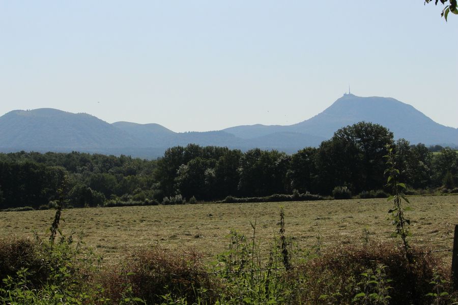
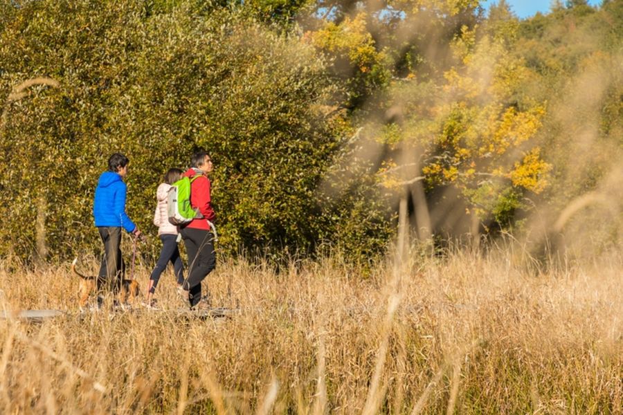
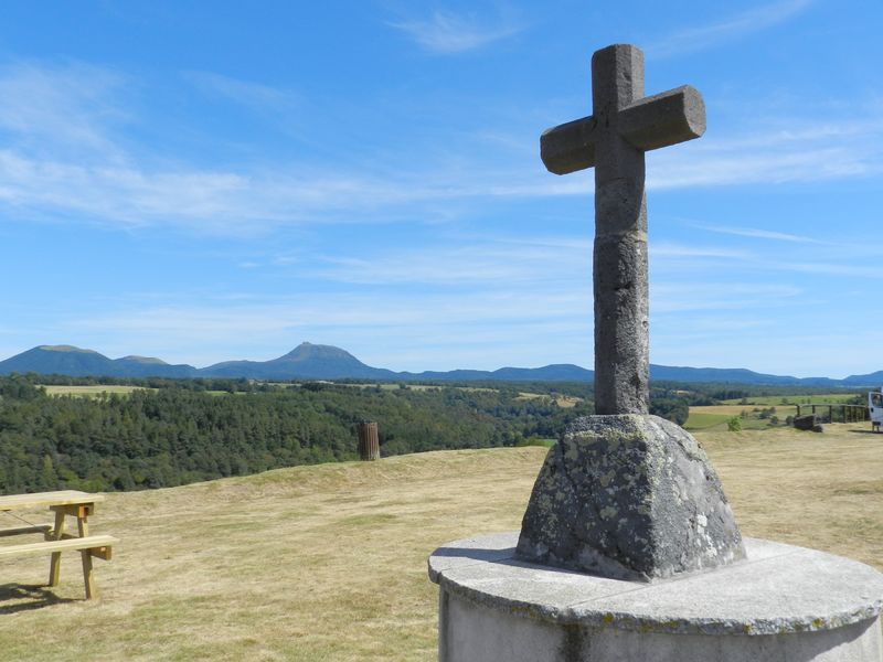
Photo credits : Office de Tourisme des Combrailles, Office de Tourisme des Combrailles, Office de Tourisme des Combrailles, Office de Tourisme des Combrailles, Office de Tourisme des Combrailles, Office de Tourisme des Combrailles, Office de Tourisme des Combrailles, Office de Tourisme des Combrailles