
The Dômes loop (62 km)
Orcines
 Dogs allowed
Distance 62Km
Hiking route BOUCLE
Marking Green and white
In pictures
 Visitor alert
Attention ! The Muletiers Trail will be closed from October 5 to 16, 2026.
Route description
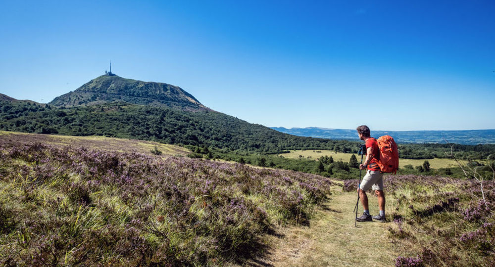
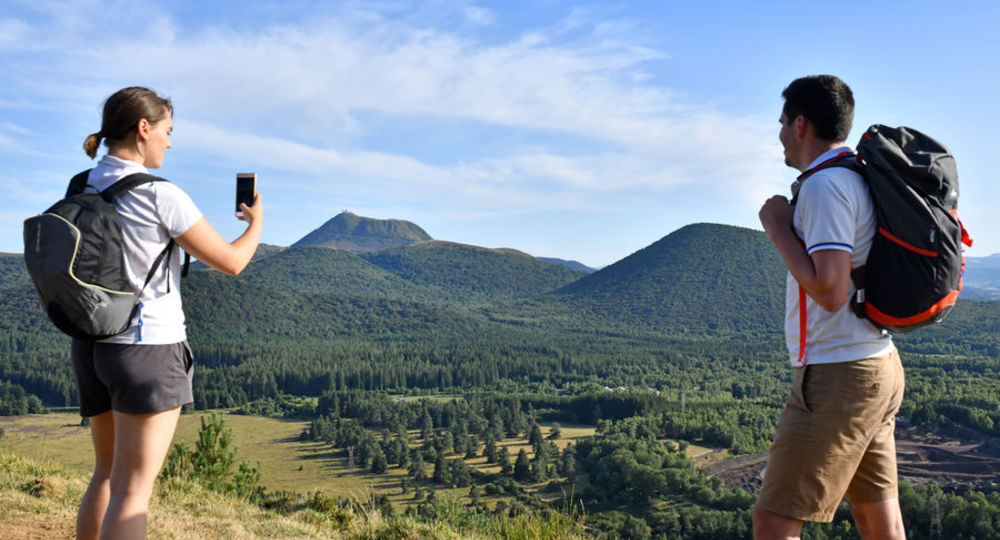
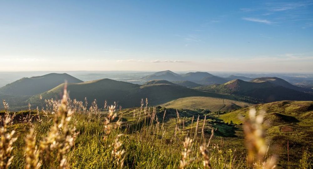
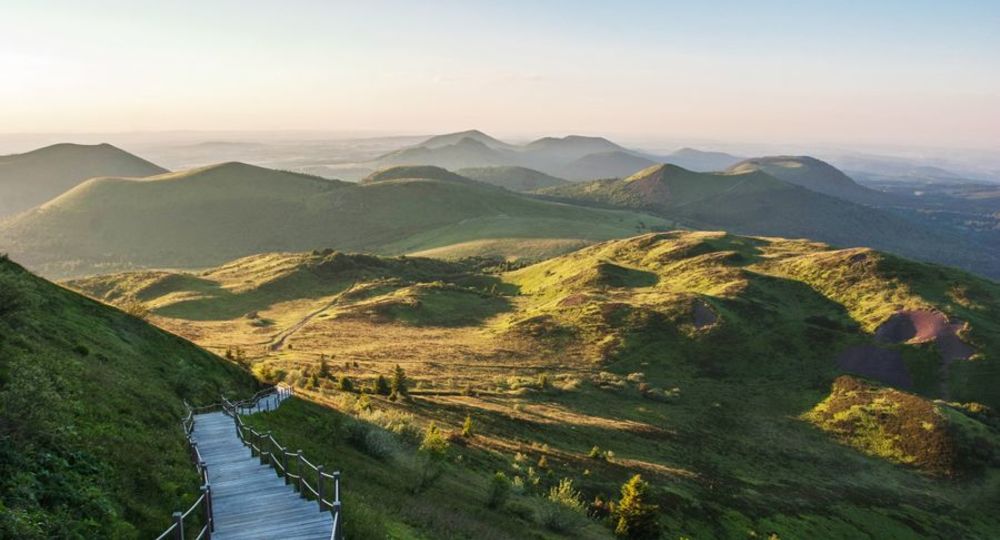
The Dômes Loop is a hiking trail that takes in the volcanoes of the Chaîne des Puys.
Trail highlights
– The Chaîne des Puys – Limagne fault and the puy de Dôme site.
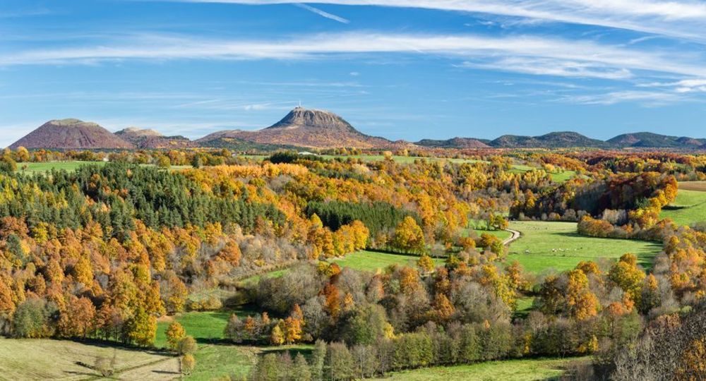
– Views of various volcanoes : the puy de Dôme, the petit puy de Dôme, the puys de Laschamps, de Mercœur, de Lassolas, de la Vache, de Côme, du Grand Suchet and du Pariou.
– View of the Sancy massif.
– Local heritage : crosses and fountains.
Guidebook with maps/step-by-step
Step 1 : Panoramique des Dômes train station at Orcines, at the foot of the Puy de Dôme (for shuttle buses from Clermont-Ferrand). Departure sign near the camper van parking area.
Please note : overnight parking is prohibited.
Step 2 : Drive up to the motorhome park. On the road, follow the yellow signs to Col de Ceyssat. Take the first large forest track on the left. Cross the D68 road and continue straight ahead. Ignore the first track on the right, and at the T-junction turn right onto a wide, gravelled forest track as far as Col de Ceyssat.
Step 3 : At the road, turn left, go downhill for 150 m and take the track on the right. At the next crossroads, turn left and then right 100 m further on. At the first intersection, turn left and continue straight ahead, ignoring all the paths on either side to rejoin the road. Be careful when crossing the D 942.
Possibility of starting the route at stage 4, access via the D 52 at Laschamps (for arrival by car and parking over several days.) Parking available at Laschamps after point 3.
Step 4 : On the main street, go up towards the church and the gite and turn left into the one-way street. Cross the road and continue straight ahead (GR®4/441). Leaving several paths on either side, continue to the 1,097 m signpost and descend to the right. Stay on the GR, pass a crossroads, continue straight ahead until you reach the junction with the GR®30 and the fork at the foot of the puy de Montjuger.
Next step
Step 5 : Keep right (further along the plateau, viewpoint over the Sancy). Ignore the paths to the right and left, the path becomes a tarmac road. Continue as far as the T-junction. Turn left (right for Récoleine chapel). Descend to the D2089 and pass under the road.
Step 6 : Take the right-hand track and continue straight on, ignoring the paths on either side, until you reach a road. Go straight down the grassy path towards Olmont until you reach a crossroads. Turn left (towards Olmont), cross the stream and go up a small road, leaving several paths on the right and left, until you reach the entrance to Olmont.
Step 7 : Turn right, leaving a track on the right, and continue on the plateau (viewpoint over the Chaîne des Puys). At the crossroads, turn left and go straight down to “Les Eaux”. Take the road opposite to reach the D 216 at Pont-des-Eaux.
Step 8 : Climb the grassy path to the right of a cross and follow it over the Sioule as far as Montéribeyre. Turn left, then right to reach the road. Go downhill to the left. After the stone bridge, turn right and take the second path on the left. Stay on this path, ignoring the first path on the left, then another on the right, to continue straight on towards Olby. Take the first right to reach a small road.
Step 9 : Pass under the bridge and continue to the village. When you come within sight of Place de la Fontaine, turn left through the village (Sully lime tree on Place de l’Église) as far as the crow’s-foot and head for Ceyssat. At the cemetery, take the route de La Gardette for a good kilometer. Go past the track leading to a farm and, as you round a bend in the road, take the left-hand path to La Gardette. Keep right as far as the fountain.
Step 10 : Turn left towards Mazayes. At the stone cross, turn left, then right at the next fork. At the road, turn right into Mazayes. Take the D52 towards Ceyssat to Mazayes-Basses.
Step 11 : Pass the gîte and church ; at the cross, turn right. At the top of the hill, go straight ahead at the cross. At Petit-Chambois, turn right at the fountain. Pass Les Combes. Cross a road to the first houses at Grand-Chambois.
Description of the 13 km variant from Mazayes-Basses in addition to the 49 km.
At the crossroads, turn left ; at the next crossroads, keep left. At the fork, turn right and continue straight on until you reach the road.
11A/ Follow the road to the left and immediately turn right onto the grassy path. At the road, turn left, pass between the cross and the ferry and turn right onto rue du Chatin. Take the track on the left. At the road, turn right. At the bend, take the track opposite. At the house, fork right and climb a flight of steps to the Saint-Pierre-le-Chastel plateau.
11B/ Go left (panorama). At the cross near the cemetery, go down the road. Turn left after the town hall. Before the sign indicating the end of the village, turn right onto the path parallel to the road. At the intersection, turn left. At the road, turn right. Turn right onto the pontoon bridge over the marsh. At the path, go left until you reach the road.
11C/ Turn right. After 30 m, turn left and follow the path through the undergrowth. Turn left at the road. At the wooden cross, turn right onto a wide track and continue along the grassy path. Cross the Tournebise road. After a ruined building, fork left onto a track. At the road, turn left for 500 m, then right onto a path in the undergrowth. At the end of the wood, turn right until you reach a fork.
11D/ Turn left. Ignore the first track on the right and keep right. At the hangar, turn right, then left. At Petit-Chambois, cross the road, go straight ahead and continue as far as the vats and bread oven to get back to the Dômes loop.
Step 12 : Turn right towards Laschamp and follow the trail. At a T-junction, turn left. The path leads into an open area at the intersection with a gravel path ; go left for 300 m, then right. At a water catchment (fenced-off area), turn right for 50 m.
Step 13 : Leave this long driveway and fork right onto an inconspicuous path. Shortly before a wide track, keep right on the path, then right again to a parking area and hiking trails alongside the D 559.
Step 15 : Take the D559 right for 200 m and turn left at the “Forêt Syndicale de Ceyssat” sign.
ATTENTION – Slight change in route near the puy de Côme, heading towards the puy de Dômes. Follow the signs.
At the fork, take the left-hand path. Continue straight ahead, taking the left-hand track. Continue straight ahead. At the clearing, turn right at the intersection and signpost.
Step 16 : Follow the road towards Puy de Dôme. At the end of the wood, turn left at the fork into the moorland and then into the undergrowth. At a fork, keep left. 150 m further on, turn right and continue straight on for approx. 400 m. At the crossroads (fountain), turn right onto the path leading up to the Nid de la Poule. Take the stairs and then the road to the Puy de Dôme station platform. Back to the shuttle link : from the Col de Ceyssat parking lot, go down ignoring the first path marked GR®441 and take the second right at the bend (yellow markings). At the T junction, take the forest track towards the MAISON DE SITE / GRAND SITE DE FRANCE. Cross the D68 and continue straight ahead. At the asphalt road, turn left.
Option – Off circuit
You can take the Chemin des Conquérants (Conquerors’ path) around the summit of the Puy de Dôme (orientation table) ; allow around 30 min. On the western slope, a picnic area and non-sack room with sanitary facilities.) Alternatively, take the “chemin de ronde” for a 360° panorama and return to the visitor center (approx. 1 hour). Take the south-westerly path down to the Col de Ceyssat.
Proposed and managed by the Conseil départemental du Puy-de-Dôme – PDIPR.
Opening hours
From 01/01 to 31/12 daily.
Subject to favorable weather.
Comfort, facilities and services
- Pets welcome
Additional information
For your own safety, always take a bottle of water, a hat, warm clothing and footwear suitable for walking.
Depending on weather conditions, certain itineraries are not recommended in bad weather (fog) or are not practicable, or even forbidden, during the winter season.
Dogs on a leash are permitted.
Bivouacs : tolerated in the Chaîne des Puys area. When roaming, bivouacs are tolerated in tents for one night, or at most for the duration of bad weather that could endanger hikers. During daylight saving time, tents must be pitched after 8 pm and dismantled before 8 am. The bivouac site must be located at the edge of the forest, excluding the slopes, craters and summits of volcanoes, unless otherwise indicated on the site. The agreement of the landowner must be sought.
Stay on marked trails.
Do not disturb wildlife.
Open-air fires are permitted in specially designated areas. Otherwise, all fires are forbidden within 200 m of the edge of a wood or forest, or under the terms of a prefectoral decree.
The use of portable gas stoves is nevertheless tolerated, in a setting that is as safe as possible (stable, away from flammable materials, etc.).
Take a garbage can bag with you to dispose of picnic, snack and other waste, and use the containers available in almost all parking lots.
Do not pick flowers. Many of them are protected (even some very common ones).
Respect private property.
Dogs allowed All dogs must be kept on leashes because of the presence of herds. Bypass the grazing herds and close the fence after you.
Environment
In the country, Forest location, Mountain view, Presence of livestock and guard dogs
Access
From Clermont-Ferrand, follow signs for Tulle on the D941 to Orcines, then the D942 to Puy de Dôme.
Downloadable :
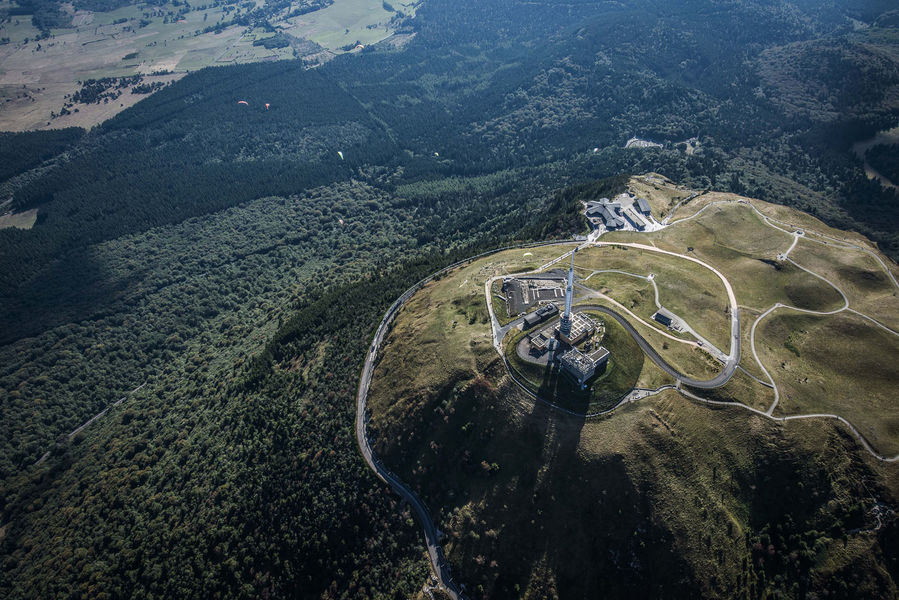
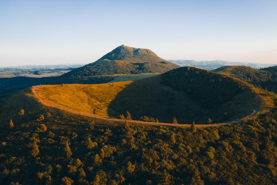
Photo credits : Gregory Rohart, CD63 / Joël Damase, David Frobert, David Frobert, Francis Cormon
 Updated on 1 September 2026 by Conseil départemental du Puy-de-Dôme