
La roche Nitée – Lea and Tino’s walks
Valbeleix
 Dogs allowed
Distance 1.9Km
Duration 0h45
Hiking route BOUCLE
Marking Butterfly
In pictures

Route description
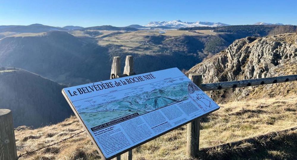
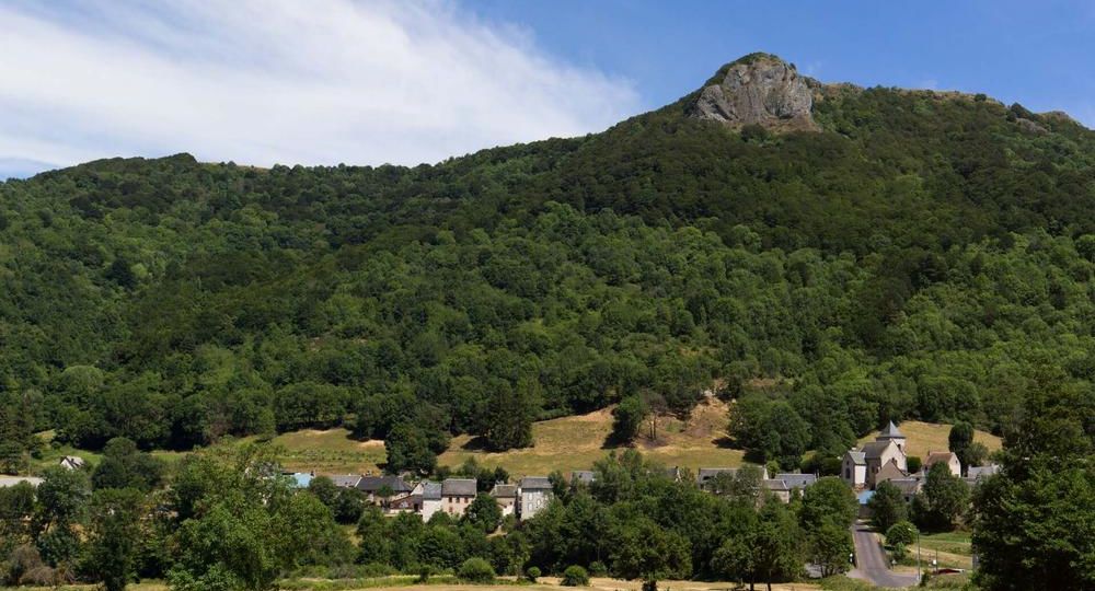
At an altitude of 1,150 m, it overlooks the Valbeleix glacial valley in the heart of an immense trough dominated by a rocky canine, the “Roche Nitée”, and a magnificent landscape above the Valbeleix couze.
Trail highlights
– Belvédère de la Roche Nitée (orientation table and panorama).
Guidebook with maps/step-by-step
Step 1 : From the start sign at the parking lot, follow the road to the left towards La Chavade. Take the first right before the village and follow the signs for “La Roche Nitée”.
Step 2 : Ignore a track on the left, continue uphill and take the first track on the right.
Step 3 : When you reach the plateau, turn right along a fence to the Roche Nitée lookout (panoramic viewpoint and viewpoint table), then keep right for a view of the Chavade plateau.
Step 4 : Descend along a fence on your right.
Next step
Step 5 : At the road, turn right to reach the parking lot.
Proposed and managed by the Conseil départemental du Puy-de-Dôme – PDIPR.
Opening hours
From 01/01 to 31/12 daily.
Subject to favorable weather.
Comfort, facilities and services
- Pets welcome
Additional information
For your own safety, always take a bottle of water, a hat, warm clothing and footwear suitable for walking.
Depending on weather conditions, certain itineraries are not recommended in bad weather (fog) or are not practicable, or even forbidden, during the winter season.
Some sites are fragile, so stay on the marked trails. Avoid picking wild flowers and disturbing wildlife. Pick up your garbage.
Animals are not allowed on some routes.
Dogs allowed Dogs must be kept on a leash due to the presence of herds.
Environment
Mountain view, Mountain location, Presence of livestock and guard dogs
Access
From Besse-en-Chandesse, 50 km south of Clermont-Ferrand on the D978, take the D36 towards Compains, then the D127 towards Saint-Anastaise, le Valbeleix. At Valbeleix, follow signs for La Chavade on the D127, then the D641 ; parking on the left as you reach the plateau.
You might also like…
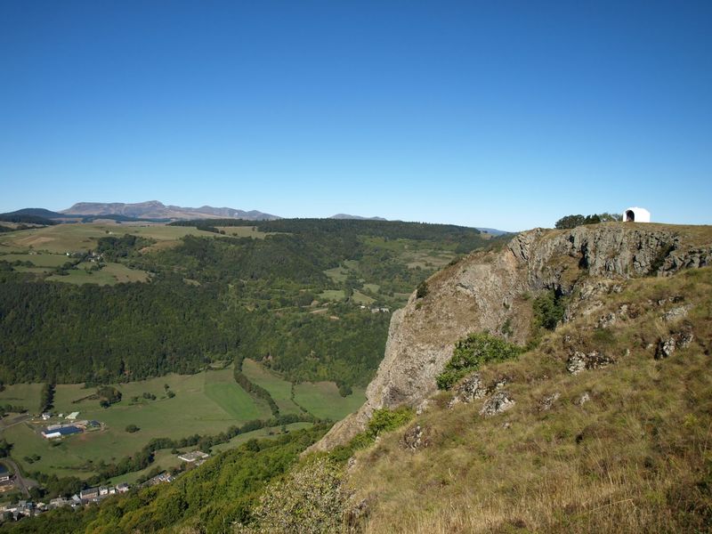

Photo credits : DR Office de Tourisme du Sancy, DR Office de Tourisme du Sancy, Conseil départemental du Puy-de-Dôme
 Updated on 29 May 2026 by Conseil départemental du Puy-de-Dôme