
The Chavade plateau and the Nité rock
Valbeleix
 Dogs allowed
Distance 16.5Km
Duration 5h30
Hiking route BOUCLE
Marking Green
In pictures

Route description
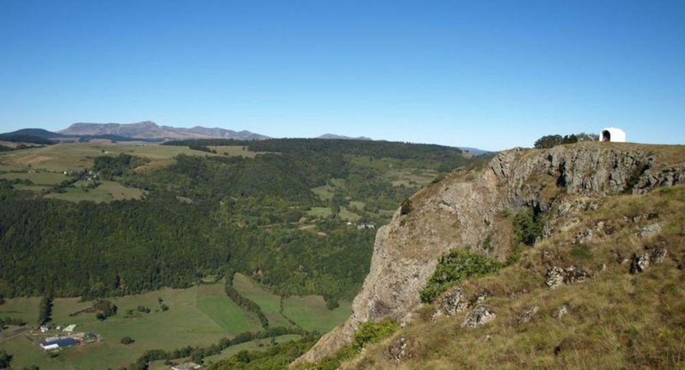
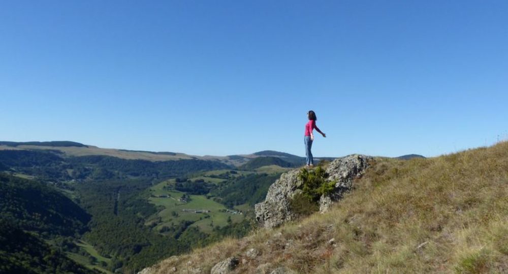
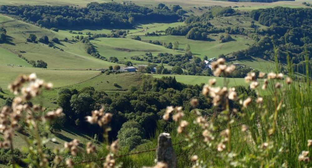
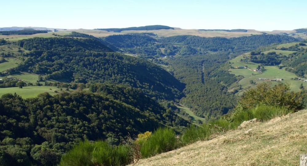
A long loop in an environment marked by exceptional panoramas : the Roche Nité (lava tooth abandoned by the glacier), the Couze de Valbeleix (torrent), the Cézallier, the Monts Dore, the Chaîne des Puys and the gorges des pays coupés.
Trail highlights
– View of the Brionnet peak and Cézalier.
– View of the Sancy massif, Chaîne des Puys, Lembron.
– View of the Valbeleix glacial valley.
– Roche Nitée lookout.
Guidebook with maps/step-by-step
Step 1 : Take the road (RD 26) towards Courgoul as far as the Route du Prat. Turn left, cross the Couze and follow the farm track to Le Vernet, which you cross. Continue along this path, which rises up the hillside. Cross a small meadow and join the road to Marcenat.
Step 2 : Turn right onto the road leading down into the valley (beware of confusion, another green PR goes off to the left). After approx. 400 m, turn left onto a path that winds its way down to the valley floor. Cross back over the Couze and rejoin the road.
Step 3 : Pass through the village of La Valette and climb a steep, winding track. 100 m after two ruined farmhouses, cross the first fence, then the second on the right (step ladders). Pass under a high-voltage power line (view of Pic de Brionnet and Cézalier). Continue uphill through beech forest, cross a clearing and enter the Chavade plateau at a chicane in a fence.
Step 4 : After the chicane, turn left onto the wide path running alongside the fence (wide views of the Cézalier, Sancy massif, Chaîne des Puys and Lembron). In the middle of the meadows, take the first track on the right, then the first track on the left. Follow the edge of the plateau (view of the Valbeleix glacial valley). Join the route de la Chavade (RD 641).
Next step
Step 5 : Turn right for 400m. After the right-hand bend, turn left onto the track leading to Roche Nité (belvedere). Find a carriage road. At the intersection, turn right. Cross a fence using a stepladder and immediately turn right, following the fence. Turn left to follow the edge of the plateau. Continue along the edge of the plateau for 200m to a new fence, which you cross using a stepladder.
Step 6 : Descend through the meadow on a faint path towards the hamlet of Vauzelle. Cross a first fence (stepladder), then a second at the bottom of the meadow. Continue through the meadows, staying alongside the fences, reach a gravel path, turn left and cross the hamlet of Vauzelle. Take the road to the right. Shortly after a sign indicating “socle hercynien”, turn left onto a path which begins with a staircase and winds down through the beech forest. Then, skirting the meadows, join a road which you take to the right as far as Valbeleix.
Proposed and managed by the Conseil départemental du Puy-de-Dôme – PDIPR.
Opening hours
From 01/01 to 31/12 daily.
Subject to favorable weather.
Comfort, facilities and services
- Pets welcome
Additional information
For your own safety, always take a bottle of water, a hat, warm clothing and footwear suitable for walking.
Depending on weather conditions, certain itineraries are not recommended in bad weather (fog) or are not practicable, or even forbidden, during the winter season.
Some sites are fragile, so stay on the marked trails. Avoid picking wild flowers and disturbing wildlife. Pick up your garbage.
Animals are not allowed on some routes.
Dogs allowed Dogs must be kept on a leash due to the presence of herds.
Environment
Lake view, Mountain view, Presence of livestock and guard dogs
Access
From Issoire, take the D 996 towards Perrier. On leaving Perrier, take the D26 to Le Valbeleix, passing through Saint-Floret and Saurier. Parking on Place de la Mairie.
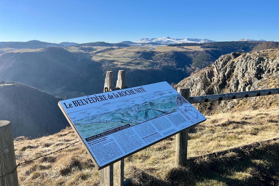
Photo credits : CD63/A.Péronnet, CD63 / C.Bachelerie, CD63/A.Péronnet, CD63/A.Péronnet, Joël Damase, Conseil départemental du Puy-de-Dôme
 Updated on 10 June 2026 by Conseil départemental du Puy-de-Dôme