
Puy de Dôme (hiking)
Orcines
 Dogs allowed
Distance 11.7Km
Duration 3h15
Hiking route BOUCLE
Marking Yellow markings followed by red and white markings
In pictures
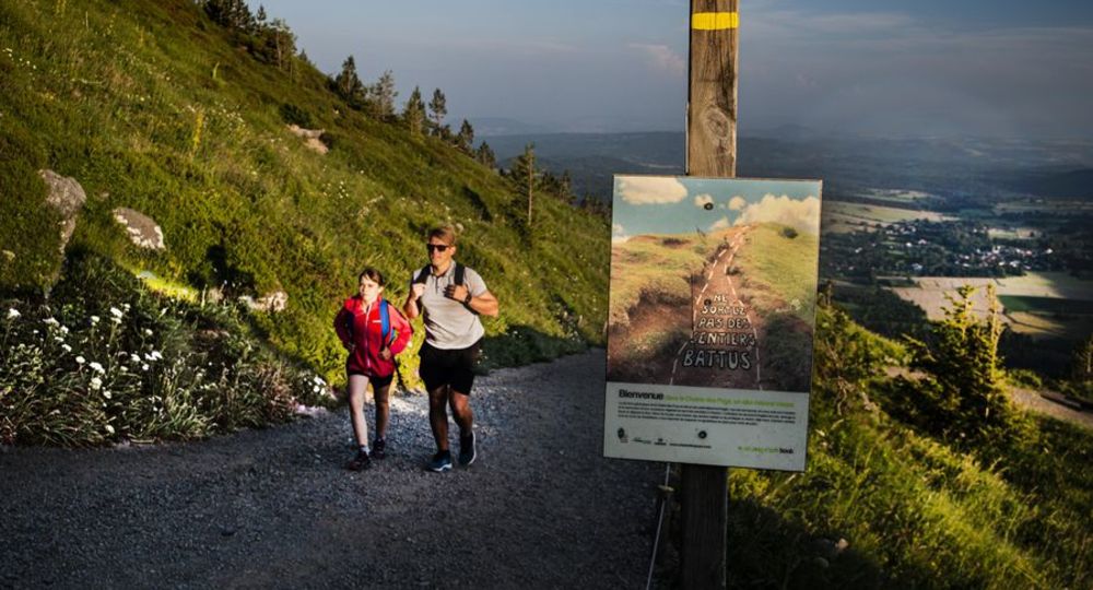
Route description
A challenging hike along the slopes of the Puy de Dôme, taking you to the summit of the Puy de Dôme on the Chemin des Muletiers and then back down on the Chemin des Chèvres, with its varied scenery and breathtaking panoramas.
Departure point : Maison de Site du puy de Dôme parking lot.
Go up the parking lot to the old toll booth (barriers) and take the yellow PR “Tour du puy de Dôme” on the left, which leads to the Col de Ceyssat through the Rochetoux woods.
Ceyssat through the Rochetoux(…)
Opening hours
All year round daily.
Comfort, facilities and services
- Car park
- Defibrillator
- Orientation board
- Pets welcome
- Public WC
Additional information
For your own safety, always bring a bottle of water, a hat, warm clothing and footwear suitable for walking.
Depending on weather conditions, the itinerary is not recommended in bad weather (fog, snow, etc…) or may be difficult to walk.
The puy de Dôme site remains fragile, so stay on the marked trails. Avoid picking wild flowers and disturbing wildlife. Pick up your garbage.
Pets must be kept on a leash on this trail.
Dogs allowed Pets must be kept on a lead.
Access
Maison de Site du puy de Dôme (Puy de Dôme site house) housing the train station, Panoramique des Dômes
Downloadable :
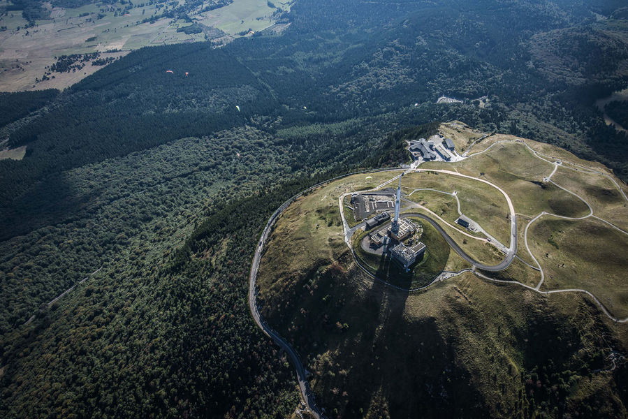


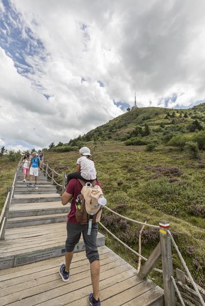
Photo credits : D. Pourcher
 Updated on 21 August 2025 by Conseil départemental du Puy-de-Dôme