
The Sioule Valley
Saint-Gal-sur-Sioule
 Dogs allowed
Distance 6Km
Duration 1h45
Hiking route BOUCLE
Marking Blue markings
In pictures


Route description
From Saint-Gal-sur-Sioule, discover the church of St-Gal, the views from the heights and the banks of the Sioule.
Trail highlights
Saint-Gal-sur-Sioule : The Sioule gorges
Guidebook with maps/step-by-step
Step 1 : Follow it to the left. At the crossroads (pressoir), take the road furthest to your left, which continues downhill. Ignore a track on the right and climb up to the road at the entrance to Chaux (view over the valley).
Step 2 : Go left through the village, leaving the Christianized well on your right, and continue downhill. Take the first asphalt road on the right (Sioule valley and Saint-Gal). Stay on this path, leaving a stone Maltese cross on your left. Continue downhill to the village entrance.
Step 3 : Take the Route des Bois to the right, then the Chemin du Bateau to the left, towards the Pont de Saint-Gal campsite, as far as the Sioule. Turn left, follow the river, pass under the bridge and go straight back up. At the crossroads, turn right onto Chemin du Moulin. Continue left to reach the starting point.
Opening hours
All year round daily.
Comfort, facilities and services
- Pets welcome
Additional information
For your own safety, always take a bottle of water, a hat, warm clothing and footwear suitable for walking.
Depending on the weather conditions, some routes are not recommended in bad weather (fog) or are not practicable, or even forbidden, during the winter season.
Some sites are fragile, so stay on the marked paths. Avoid picking wild flowers and disturbing wildlife. Pick up your rubbish.
Animals are not allowed on some roads
Dogs allowed Dogs must be kept on a leash due to the presence of herds.
Access
Saint-Gal-sur-Sioule is 54 km north of Clermont-Ferrand. Car park next to the church.
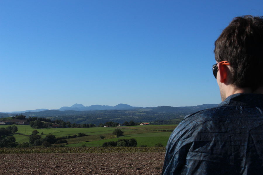
Photo credits : OT Combrailles, OT Combrailles, OT Combrailles
 Updated on 5 May 2025 by Office de Tourisme des Combrailles