
The slopes of the Lachaud plateau
Châteaugay
 Dogs allowed
Distance 15.5Km
Duration 3h45
Hiking route BOUCLE
Marking Yellow
In pictures

Route description
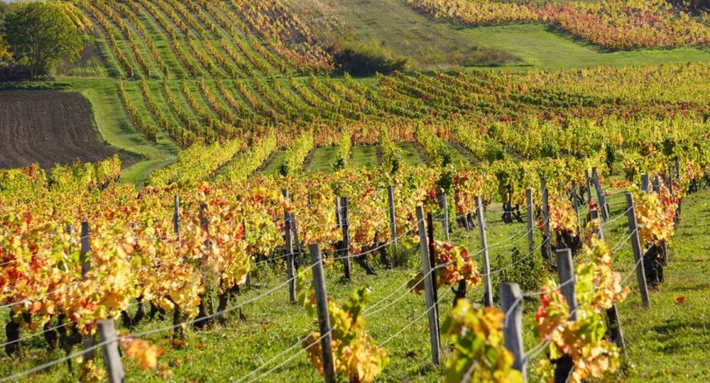
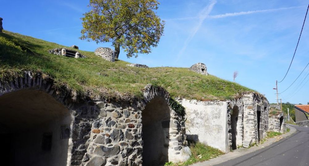
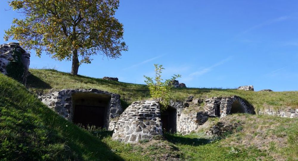
Beautiful landscapes to discover between Volvic, Marsat and Châteaugay… Along the way, you can discover the ancient cellars of Châteaugay.
Trail highlights
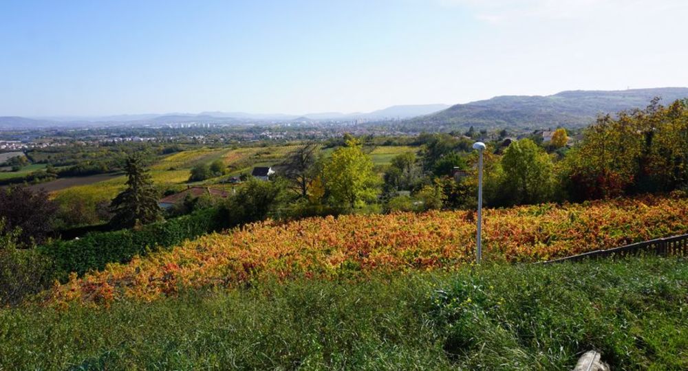
– View of the Chaîne des Puys, Riom and Limagne, the Bourbonnaise mountains and the Monts de la Madeleine.
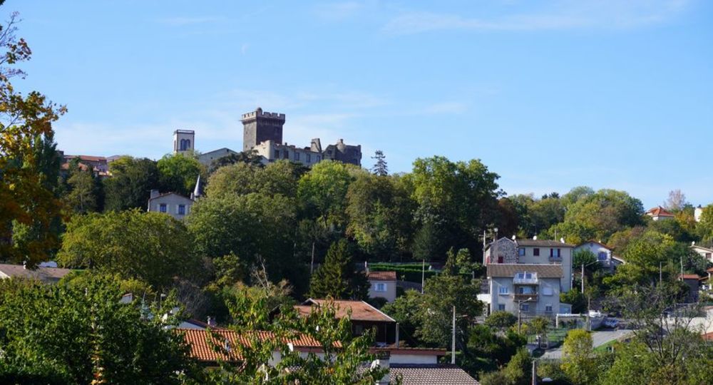
– View of Châteaugay, the Puy de Dôme, Clermont-Ferrand and the Gergovie plateau.
– The Châteaugay cellars.
Guidebook with maps/step-by-step
Step 1 : With your back to the post office, cross the parking lot and then the public garden. Turn left towards the château (15th-century castle), pass under the porch and walk along the foot of the towers. Follow the “stade” road for 300 m to the storm basin.
Step 2 : Turn left on the path alongside the houses, cross rue Saint-Vincent, continue straight ahead on the plateau (view of the Chaîne des Puys). At the crossroads, go straight ahead on a grassy path. At the relay station, follow the asphalt road to the right. At a fork in the road, turn left and continue until you reach a crossroads at the level of a power line.
Step 3 : Take the right-hand path (signposted “plateau de Lachaud”) to the tarmac road. Continue straight ahead to the Rovère cross (puy de Marcoin : AR 15 mn). Go straight downhill, cross and follow the stream until you reach a T junction (intersection of two PR roads).
Step 4 : Turn right and follow the road for 700 m. At the hydrant, turn right towards Les Ratiers (view of Tournoël castle). Continue along the adjacent paths. Cross the La Rivaux stream. When you reach the road, take the path on the right. When you see the houses, fork right and cross the stream near an orchard. Climb left along the stony path to a T-junction at the top of the steep slope.
Next step
Step 5 : Turn left down the wide track to a fork, then right. Go straight ahead at the five paths (in the distance, you’ll see the town of Riom and the Limagne). Leaving the Vergnes farm on your left (ancient Roman road), climb up the hill between farm buildings. Continue along the wide path. At the “Vue sur Riom” sign, turn 90° to the right. At the Mirabel viewpoint (overlooking Limagne, the Bourbonnaise mountains and the Monts de la Madeleine). On the hillside, pass through deciduous trees, cross a vineyard, then continue through undergrowth (low walls). You reach the plateau (view of the Chaîne des Puys). Descend and fork left on a path beneath the oaks (at the end of this path, you’ll see Châteaugay, the Puy de Dôme, Clermont-Ferrand and the Gergovie plateau). You then come to a wide path which you take in the direction of the village (at the entrance, on the right, you’ll see the Châteaugay cellars). Return to the starting point via rue du Chalard.
Proposed and managed by the Conseil départemental du Puy-de-Dôme – PDIPR.
Opening hours
From 01/01 to 31/12 daily.
Subject to favorable weather.
Comfort, facilities and services
- Pets welcome
Additional information
For your own safety, always take a bottle of water, a hat, warm clothing and footwear suitable for walking.
Depending on weather conditions, certain itineraries are not recommended in bad weather (fog) or are not practicable, or even forbidden, during the winter season.
Some sites are fragile, so stay on the marked trails. Avoid picking wild flowers and disturbing wildlife. Pick up your garbage.
Animals are not allowed on some routes.
Dogs allowed All dogs must be kept on leashes because of the presence of herds.
Environment
In the country, Mountain view, Presence of livestock and guard dogs
Access
From Clermont-Ferrand towards Riom on the D2009, exit at D402 towards Chateaugay-Ladoux. At the roundabout, take the 3rd exit to Châteaugay. Parking place Charles De Gaulle.
You might also like…
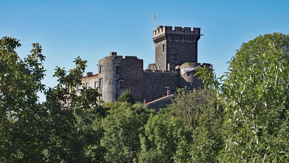
Photo credits : © Aurélia Péronnet, © Aurélia Péronnet, © Aurélia Péronnet, © Aurélia Péronnet, © Aurélia Péronnet, © Aurélia Péronnet
 Updated on 29 May 2026 by Conseil départemental du Puy-de-Dôme