
Les côtes de Clermont
Durtol
 Dogs allowed
Distance 4.1Km
Duration 1h30
Hiking route BOUCLE
Marking yellow butterfly
In pictures
Route description
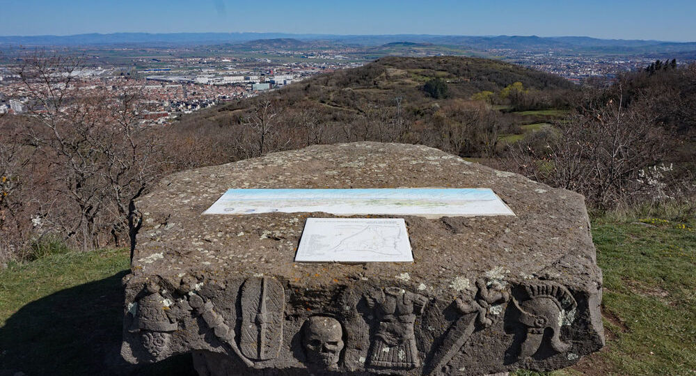
This large natural plateau is a 15-million-year-old basalt flow. The site is of great naturalistic and archaeological interest. Excavations have shown a continuous human presence from Neolithic times to the Middle Ages.
Trail highlights
– View of the Chaîne des Puys, Plateau de Gergovie, Livradois-Forez, Limagne du Bourbonnais.
– View of Blanzat and Châteaugay.
Guidebook with maps/step-by-step
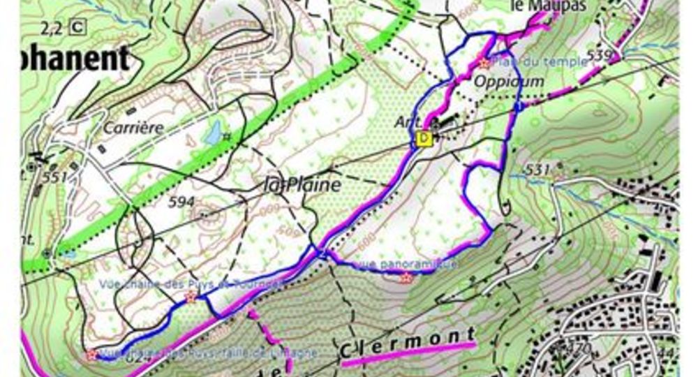
Step 1 : From the start sign, continue along the road for 30 m, then take the first track on the right, signposted Oppidum. At the intersection, keep left and stay on the main track. At the next fork in the road, turn right. After 50 m, turn right towards the Oppidum.
Go to the stele dedicated to Paul Eychart. Go around it (see map of the Temple on back of stele) and continue right towards the remains of the Temple columns. Walk alongside them, take a path to the right and then immediately right down to a T-junction.
Step 2 : Turn right, then left. Stay on the main path. At the T-junction, turn right and climb a hill (panoramic view). Continue until you reach the road.
Step 3 : Turn left. After 300 m, turn right across an open space. Fifty metres further on, turn left onto a wide track. At the fork in the road, climb left to reach a lookout point (view of the Chaine des Puys Faille de Limagne complex). Retrace your steps, but when you reach the open space, continue straight ahead on the wide track overhanging the quarry until you reach the first track on the right. Take this as far as the road and return to the starting point on the left.
Proposed and managed by the Conseil départemental du Puy-de-Dôme – PDIPR.
Opening hours
From 01/01 to 31/12 daily.
Subject to favorable weather.
Comfort, facilities and services
- Pets welcome
Additional information
For your own safety, always take a bottle of water, a hat, warm clothing and footwear suitable for walking.
Depending on weather conditions, certain itineraries are not recommended in bad weather (fog) or are not practicable, or even forbidden, during the winter season.
Some sites are fragile, so stay on the marked trails. Avoid picking wild flowers and disturbing wildlife. Pick up your garbage.
Animals are not allowed on some routes.
Dogs allowed All dogs must be kept on leashes because of the presence of herds.
Environment
In the country, Mountain view, Presence of livestock and guard dogs
Access
Reach Durtol, 4km north of Clermont-Ferrand, via avenue Raymond Bergougnan, then the D943 (av. du Limousin then av. de Clermont).
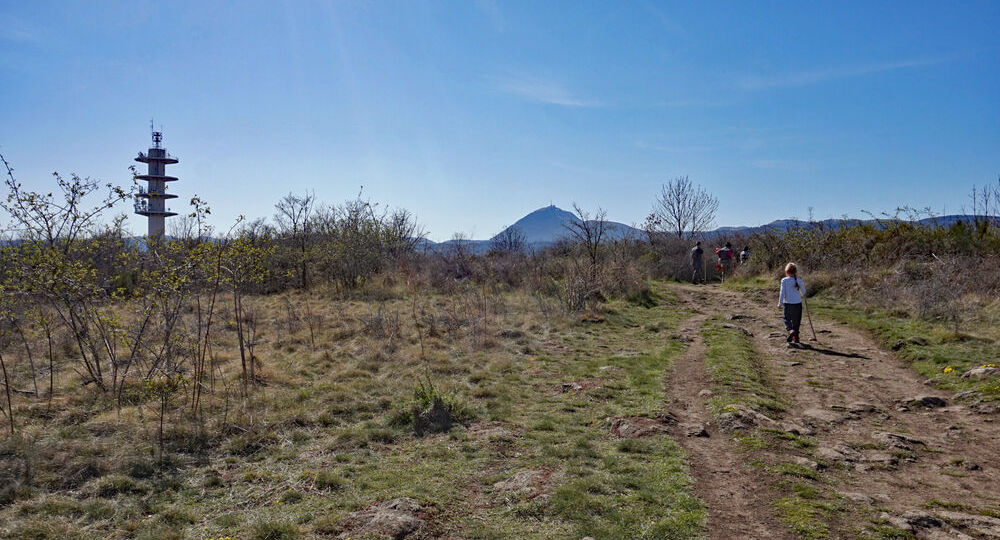
At the entrance to Durtol, just before the cemetery, turn right onto Route de la Plaine, then Chemin de la Plaine. At the crossroads, turn right. Parking lot and start sign at the foot of the radio tower.

Photo credits : ESM CAT, ESM CAT, ESM CAT, Conseil départemental du Puy-de-Dôme
 Updated on 31 August 2026 by Conseil départemental du Puy-de-Dôme