
The puys of Montrognon and Chomontel
Ceyrat
 No dogs allowed
Distance 7.3Km
Duration 2h30
Hiking route BOUCLE
Marking Yellow circles in both directions. No signposting between A and B. Disregard crosses indicating wrong direction, which do not concern Clermont Communauté itineraries.
In pictures

Route description
The route takes in three ancient winegrowing villages, where the marks of the winegrowing past are still very present in the landscape.
It’s a great walk for everyone, with the volcanic mounds of Montrognon and Chomontel, and radiant views over the town and surrounding mountains.
Departure point : Place de la Résistance near the town hall. Alternative parking recommended at the Artenium (accessible via the traffic circle on the D2089).
Difficulty :(…)
Trail highlights
Follow the tour with ease, thanks to the Mikhes app, which guides you step by step.
Download the app at the bottom of the page and start your tour.
Opening hours
All year round daily.
Downloadable :
You might also like…
-
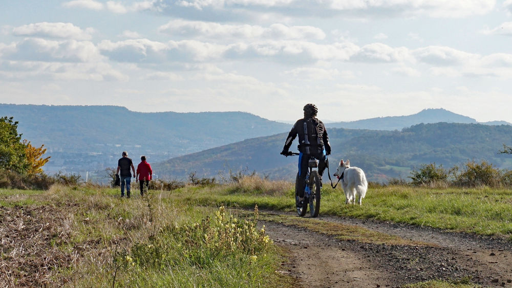
-
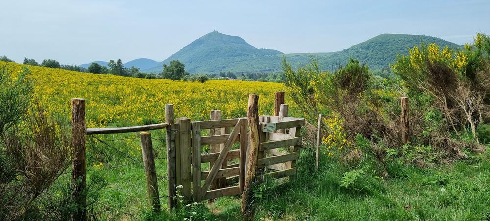
Croix de Ternant as seen from the Goules car park | Orcines
-
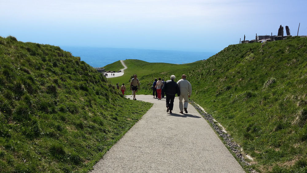
Puy de Dôme – Hiking from the Maison de Site
-
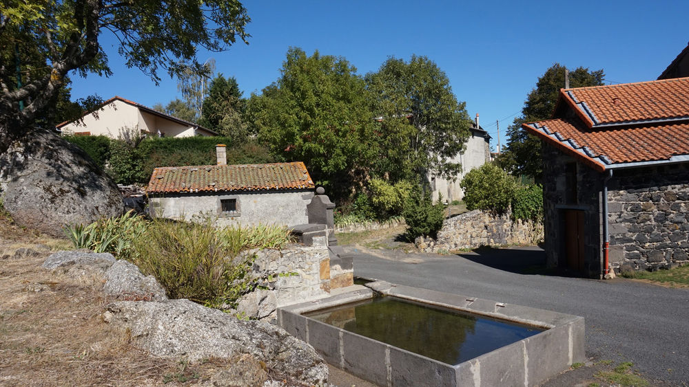
From the Tiretaine valley to the source of the Artière river
-
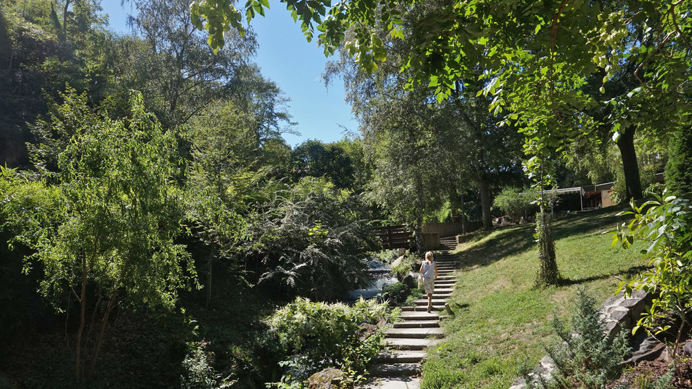
Walk from La Tiretaine to La Châtaigneraie de Beaumont
-
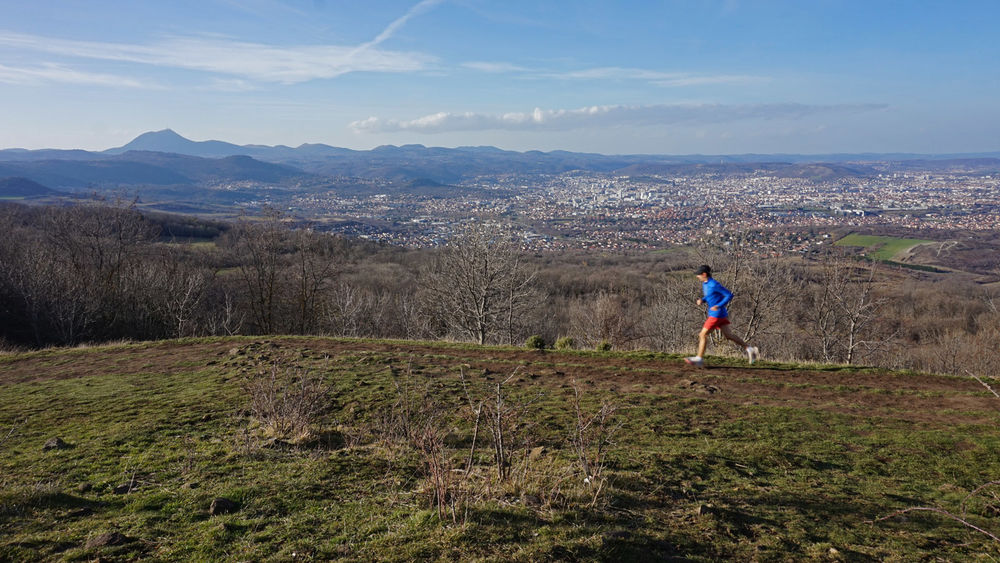
The Gergovie plateau from Pérignat-lès-Sarliève
-
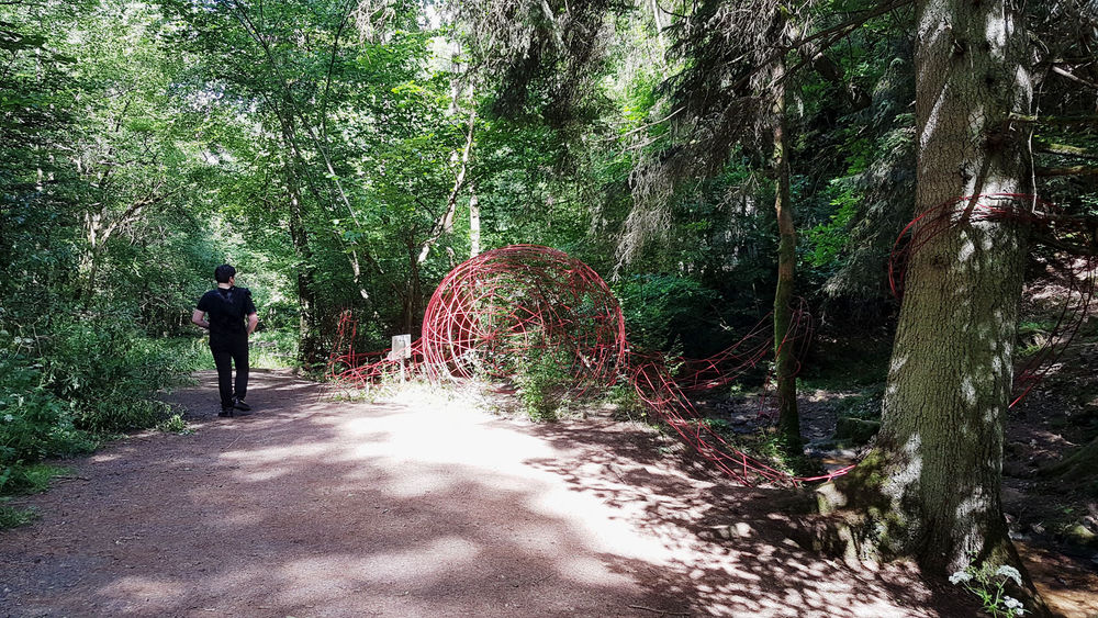
The Artière gorges and the Redon plateau
-
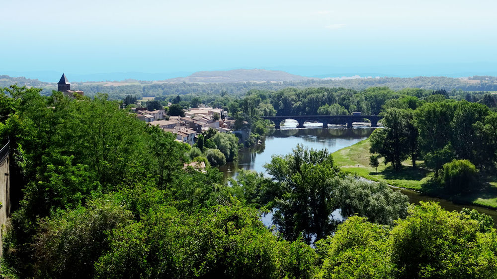
From the Allier to the Cortal plateau
-
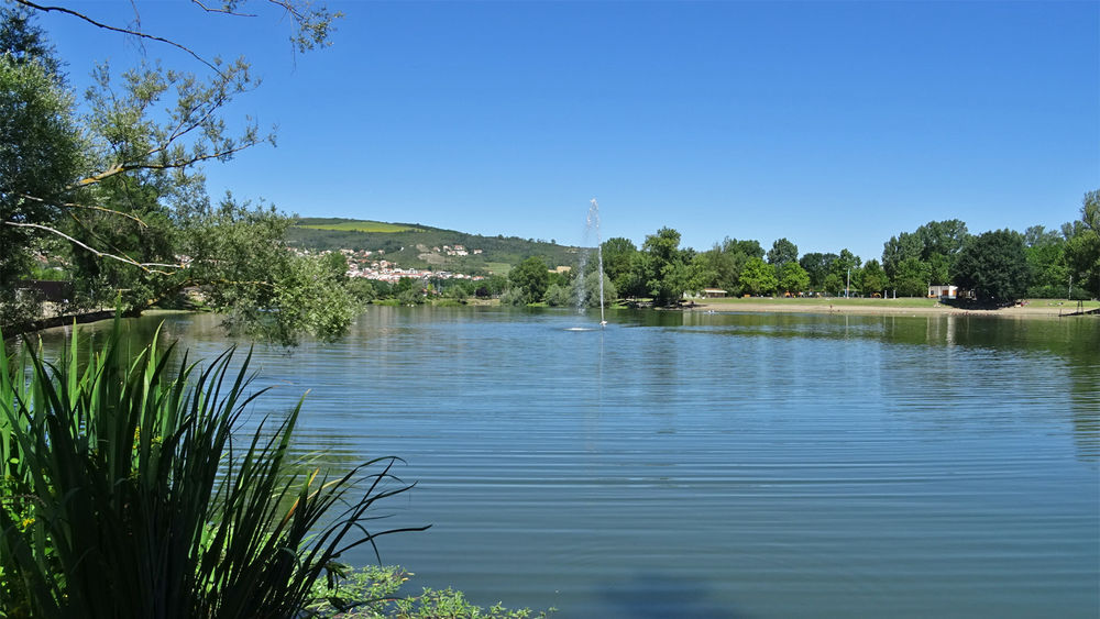
Between the banks of the Allier and the Limagne hills
-
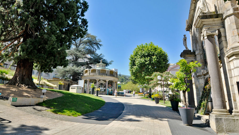
Hike : The City’s Balconies
-
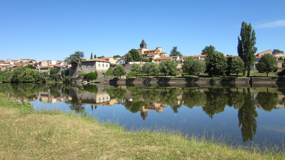
Walk along the banks of the Allier | Pont-du-Château
Photo credits : ESM-CAT
 Updated on 24 March 2026 by Clermont Auvergne Volcans