
Site des Côtes et puy de Var à VTT
Blanzat
 No dogs allowed
Distance 10.3Km
Duration 1h00
Hiking route BOUCLE
Marking Yellow circles in both directions.Disregard crosses indicating the wrong direction, which do not concern Clermont Communauté itineraries.
In pictures

Route description
Here’s a jogging course tailor-made for you. Trained joggers will appreciate the varied, uneven profile of the course, in a setting guaranteed to be 100% natural.
Beautiful paths offer wide views over the urban area. Experienced mountain bikers will also appreciate this circuit, with its relief and technical sections.
Start : Plan d’eau du Bédat, between Blanzat and Nohanent, follow signs for “Nohanent”.
Difficulty : Rough terrain.
Accessible all year round. Detailed map of the(…)
/* col-6_sm-12 */ ?>
Opening hours
All year round daily.
Downloadable :
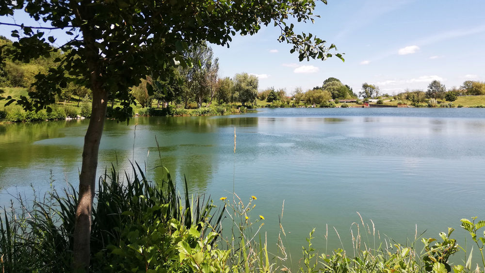
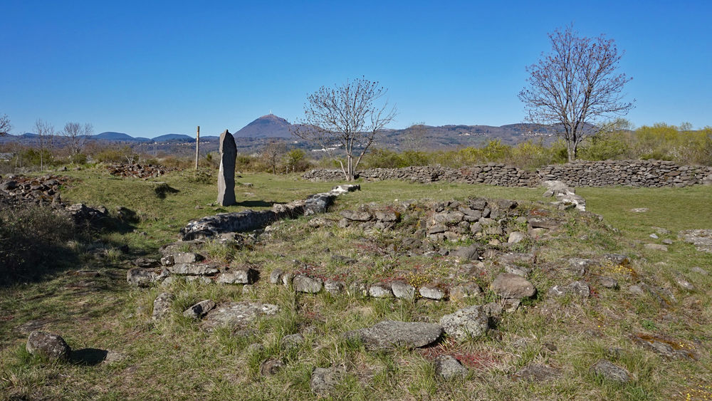
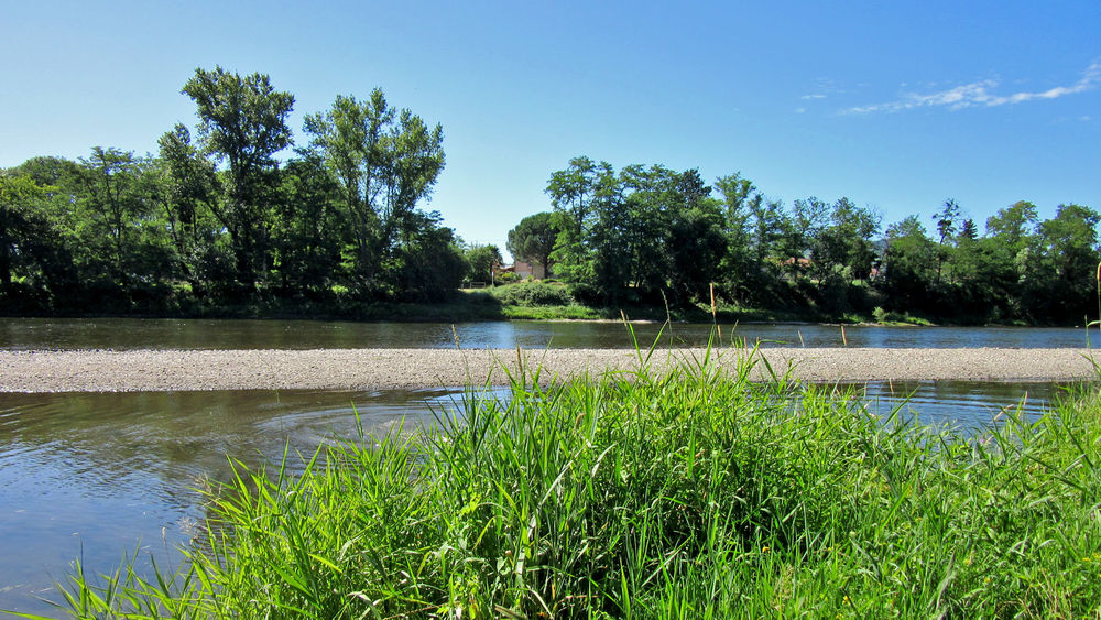
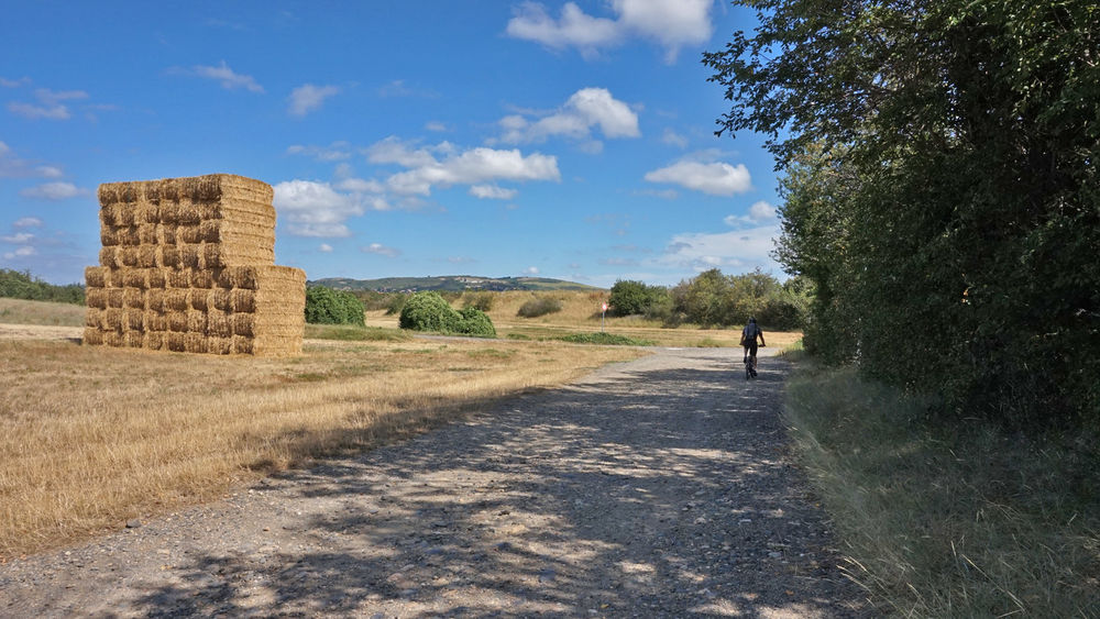
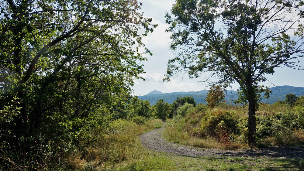
Photo credits : ESM-CAT
 Updated on 25 April 2025 by Clermont Auvergne Volcans