
In the footsteps of the Adrienne
Sayat
 No dogs allowed
Distance 2.7Km
Duration 1h15
Hiking route BOUCLE
Marking Blue markings
In pictures

Route description
Start : Salle PolyvalenteFrom Clermont, direction Limoges, Volvic. At the junction at the entrance to Sayat, enter the town center. At the traffic lights, turn left into rue Gustave Fougère as far as the Salle Polyvalente.
Guidebook with maps/step-by-step
Step 1 : Departure point : Salle Polyvalente. Take rue Gustave Fougère uphill to the Dischamp company (cheese-maker). Turn right onto rue des Routiers, then right onto rue de la Vernède. Continue for 300 m.
Step 2 : Turn right into rue Marcel Vigot and continue down the street. Cross Avenue de Clermont to reach Rue de la Mairie. At the hydrant, turn right towards the church. At the church entrance, turn left onto rue de l’Eglise. Turn left onto rue de la Vialle and continue for 100 m to the square. Take rue des Vergers and continue for 100 metres to the bridge.
Step 3 : At the bridge, turn right along the Bédat for 50 meters, then right onto rue du Bédat. Continue to the crossroads. At the stop sign, turn left onto rue des Mailleries. Continue straight for 200m, then turn left onto rue du Docteur Jay. At the intersection, turn left onto avenue de Clermont and continue for 100m to the intersection with impasse du Courdoulet. Continue to the intersection and turn left onto rue de Létrade. Continue to the tree-lined square in front of La Poste.
Step 4 : Turn right onto rue du Stade, and continue for 200m to the stairs on the right. Turn right on Avenue de Clermont for 400m to the traffic lights. Turn left onto rue Gustave Fougère and climb back up to the starting point.
Opening hours
All year round daily.
Environment
In the country, Riverside, Waterside
Downloadable :
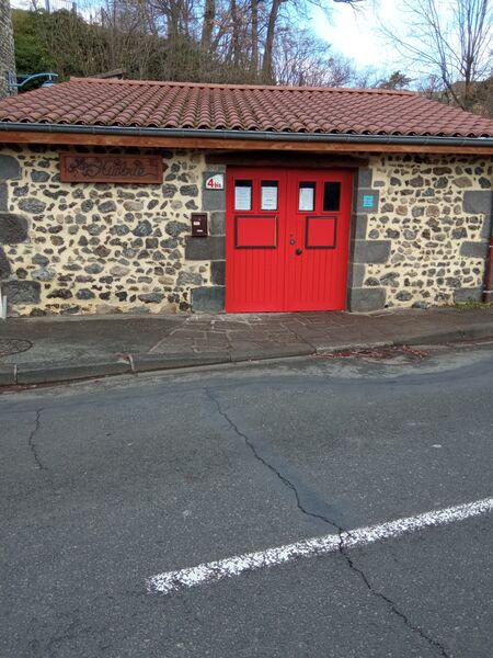
Photo credits : Florian Bompan
 Updated on 18 December 2025 by Office de Tourisme Terra Volcana, les Pays de Volvic