![]()
Étangs des Combrailles – Stage 2 Montel-de-Gelat – Dontreix
Montel-de-Gelat
 No dogs allowed
Distance 11.5Km
Duration 3h15
Hiking route ALLER_ITINERANCE
Marking Green and white
In pictures

Route description
The 41km Etangs des Combrailles hike is generally a 3-day walk through a wild environment dotted with ponds.This second 11.5 km stage links the communes of Montel-de-Gelat and Dontreix.
Guidebook with maps/step-by-step
Step 11 : 5 km – 3h15
Start : From the start sign, in front of the war memorial, walk around the church to the left, then turn immediately left (rue sous le château). After 100 m, take the first track on the right, leaving a track on the left, then turn right to reach a road. Turn left as far as Les Bourrans. At the crossroads turn right, then right again as far as Etang Neuf.
Step 1 : Follow the tarmac road to the left and walk alongside the pond (shared with several PR trails), then follow the road to Les Corrioux Hauts. At the crossroads, take the track on the right. After 200m, leave a track on the left and continue as far as the tarmac road. Take the track opposite. After about 150 m, turn left at the fork in the road and continue as far as the hamlet of Les Chazeaux, ignoring the paths to the left and right. At the first house, turn left to go through the hamlet of Les Chazeaux. At the road, turn left to reach La Marzelle. Turn right twice. At the end of the village, leave a downhill path to the left and continue on the main path as far as a wooden cross.
Step 2 : Take the path on the right down to Hauteserre, ignoring the side paths. At the crossroads (school bus stop), take the path on the left as far as the cross ; pass to the right of the cross and go down as far as a pond. Take the road to the right as far as the entrance to Dontreix, cross the D4 and continue straight ahead as far as the Town hall square.
/* col-6_sm-12 */ ?>
Opening hours
All year round daily.
Comfort, facilities and services
- Picnic area
- Public WC
Environment
In the country, Lakeside or by stretch of water, Waterside
Downloadable :
You might also like…
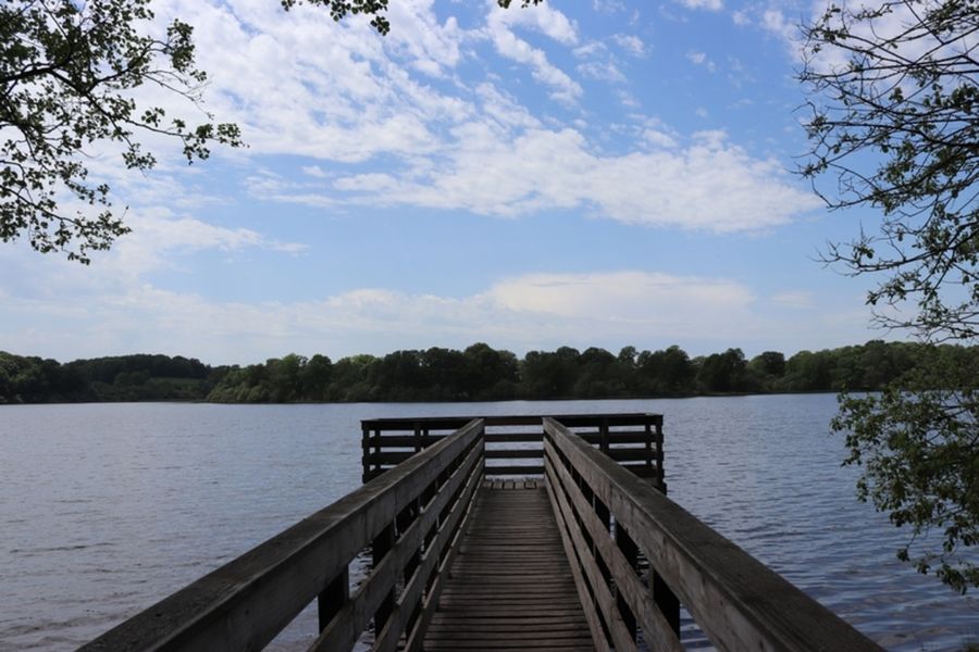
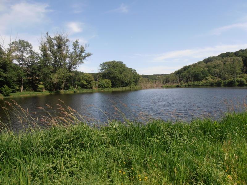
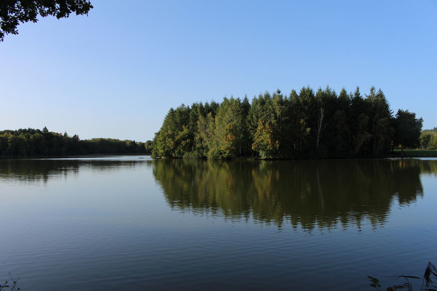
Photo credits : OT Combrailles