![]()
Étangs des Combrailles : Stage 3 Dontreix – Charensat
Charensat
 No dogs allowed
Distance 11Km
Duration 3h00
Hiking route ALLER_ITINERANCE
Marking Green and white
In pictures

Route description
The 41km Etangs des Combrailles hike is generally a 3-day walk through unspoilt countryside dotted with ponds.This final 11 km stage links the communes of Dontreix and Charensat.
Guidebook with maps/step-by-step
Step 1 : Turn left onto the road. After 500 m, turn right onto a track for 50 m. At the fork in the road, turn right until you come to an intersection with a wide forest track. Turn left onto this track. At the black cross, go straight on to the next fork.
Step 2 : Fork left to a T-junction. Go left as far as Mouneyroux. At the intersection at the entrance to the village, turn left for 50 m and then right. Drive past the Mouneyroux château. At the next fork, turn left towards Le Moulin des Mouneyroux. Continue straight
to a T-junction.
Step 3 : Go left up to a fork. Turn right. At the crossroads, turn right onto a grassy track as far as Troissagnes, ignoring the side paths. Take the road on the right. Follow the road up into the village and continue to the top of the hill.
Step 4 : Take a track on the right for 400 m. At the crossroads, turn left and continue straight on to Charensat. Follow the road past the retirement home to the Place de l’Église.
/* col-6_sm-12 */ ?>
Opening hours
All year round daily.
Comfort, facilities and services
- Picnic area
- Public WC
Environment
In the country
Downloadable :
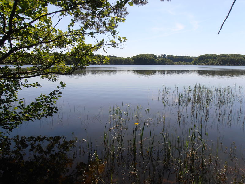
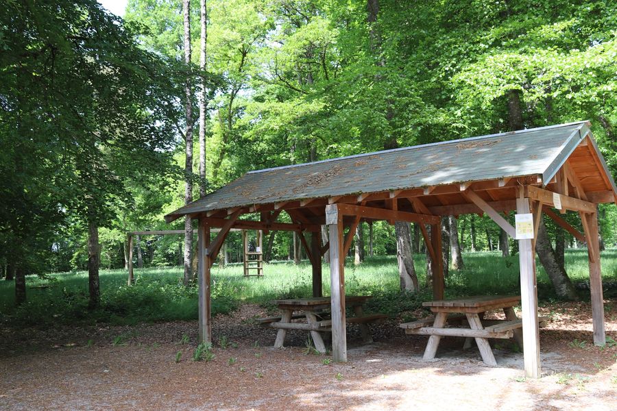

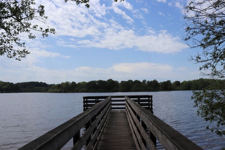
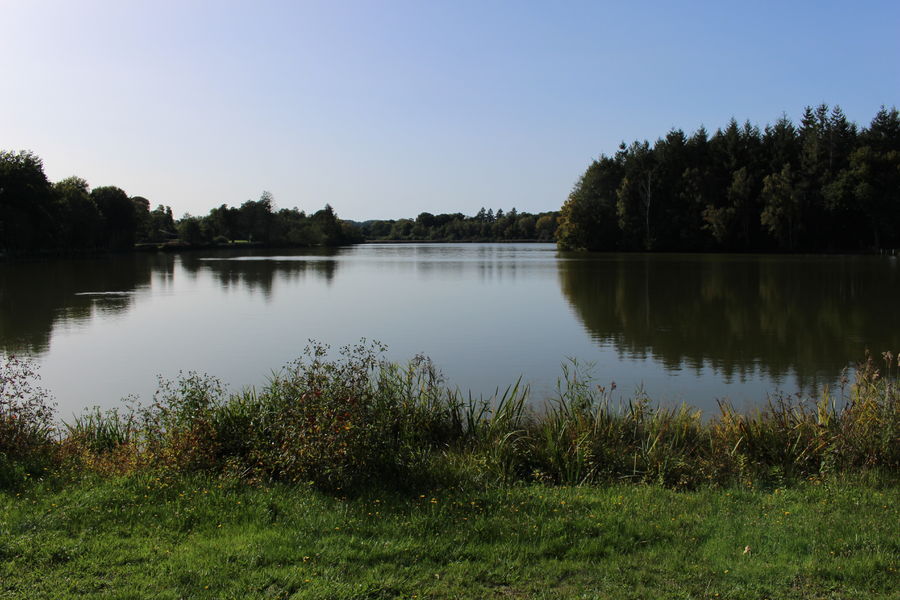
Photo credits : Balirando