![]()
Étangs des Combrailles : Stage 1 Charensat – Montel-de-Gelat
Charensat
 No dogs allowed
Distance 18.5Km
Duration 5h30
Hiking route ALLER_ITINERANCE
Marking Green and white
In pictures

Route description
The 41km Etangs des Combrailles hike is generally a 3-day walk through a wild environment dotted with ponds.This first 18.5 km stage links the communes of Charensat and Montel-de-Gelat.
Guidebook with maps/step-by-step
Step 18 : 5 km – 5h30
Start : From the start sign, head down the D13. Turn left towards La Raterie. After about 1 km, take a track on the right. At Sourdoux, turn left down the road. Turn left at the fork. At the T junction, go right and then straight ahead on the main road. Ignore the first crossroads, then take a left-hand path for 100 m through the woods ; turn right (educational path), then right again to reach a forest roundabout. Turn right along the campsite and join the D60, which you take on the right. After 300m (at a stadium), take the first track on the left as far as La Gorce. Turn left and keep left until you reach the Chancelade lake. Go around the pond to the left and follow the small road to the D13.
Step 1 : Turn right onto this road. As you climb the hill, take a wide track on the left. Go straight on until you reach a fork at the edge of the wood. Turn right and keep right at the next fork. At the third fork, turn left onto a small road. Turn left and then immediately right onto a track. Stay on this track until you reach the D13, which you take on the left for 50 m. Turn left (towards the SDIS COS pond) and keep left at the fork in the road. Go straight on until you reach a junction of four
paths.
Step 2 : Turn right and go straight on, ignoring the paths on either side. At the T-junction, turn right, then left towards the Bouesse pond. Go around it to the left, then up the path through the woods. Keep to the right and continue along this wide track until you reach a T-junction.
T-junction. Go left. At the fork in the road, keep to the left and continue as far as the entrance to the hamlet of La Ribière.
Step 3 : Take the road to the right and turn right at the first crossroads. Follow the wide track to the D13. Turn left and immediately take the first track on the right. At the road, turn right. At the fork in the road, turn left into the hamlet of Longueville. After the cross, go left down to the road. At Le Montel, turn left into Rue des Ecoles and at the fork, turn left into Rue de l’Etang Neuf. Go past the church and then to the right of the Monument aux Morts.
/* col-6_sm-12 */ ?>
Opening hours
All year round daily.
Comfort, facilities and services
- Picnic area
- Public WC
Environment
In the country, Lakeside or by stretch of water, Waterside, Presence of livestock and guard dogs
Downloadable :
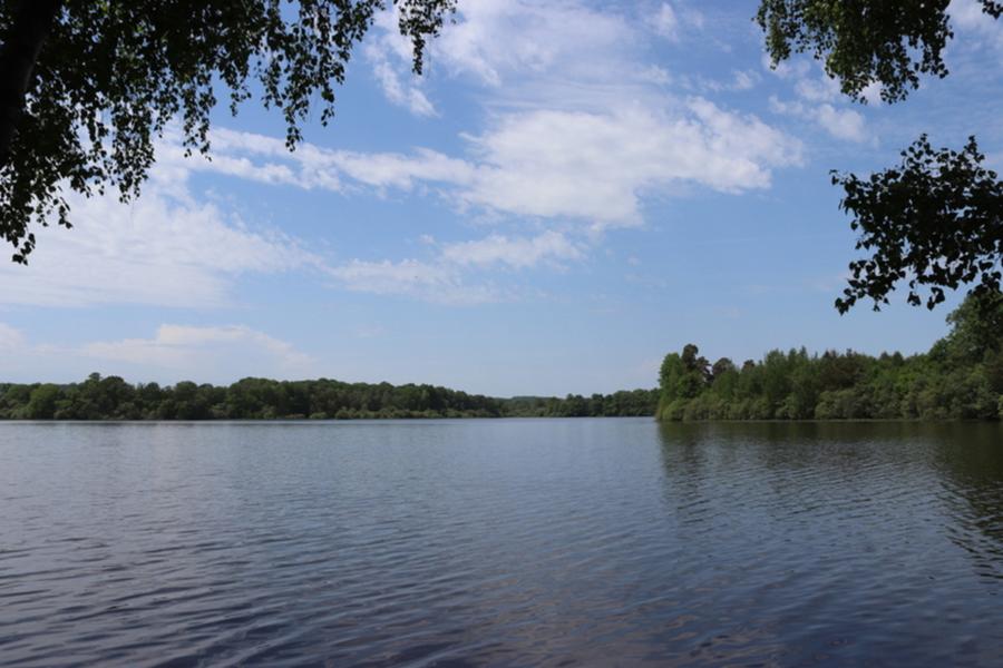
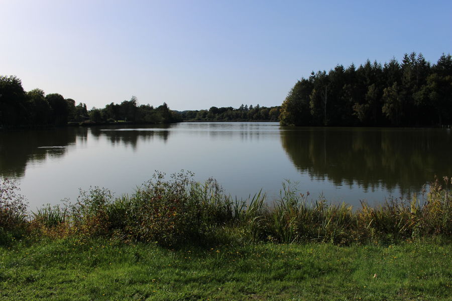
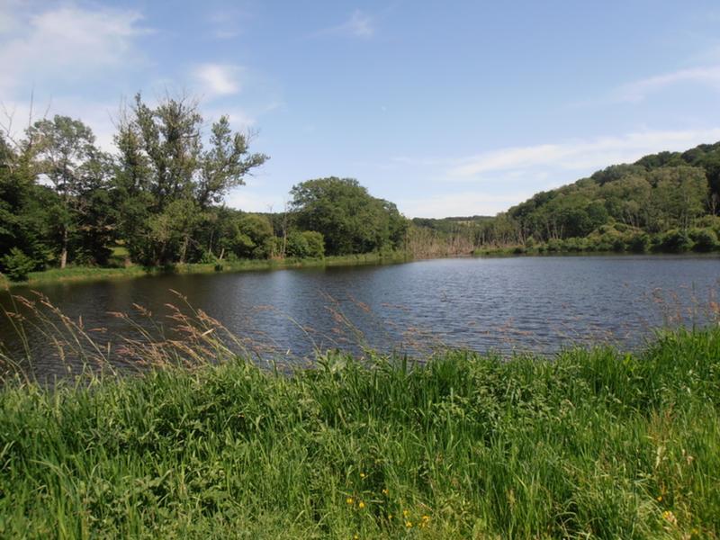
Photo credits : OT Combrailles