![]()
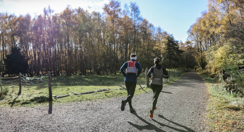
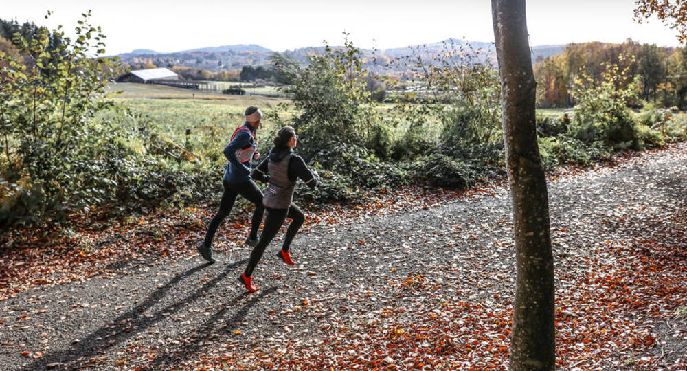
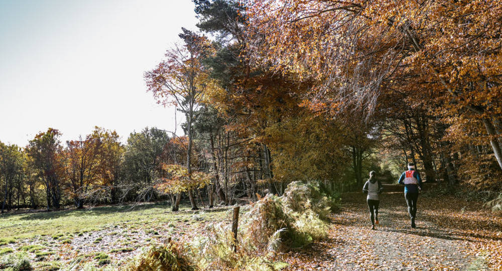
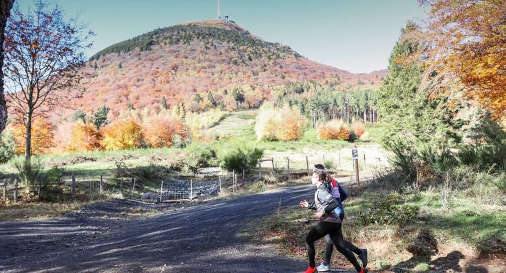
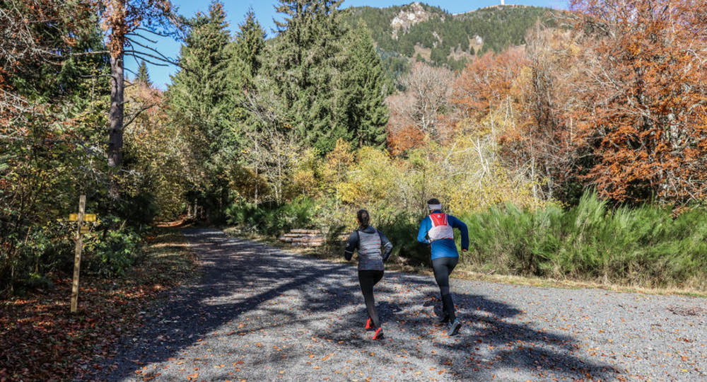
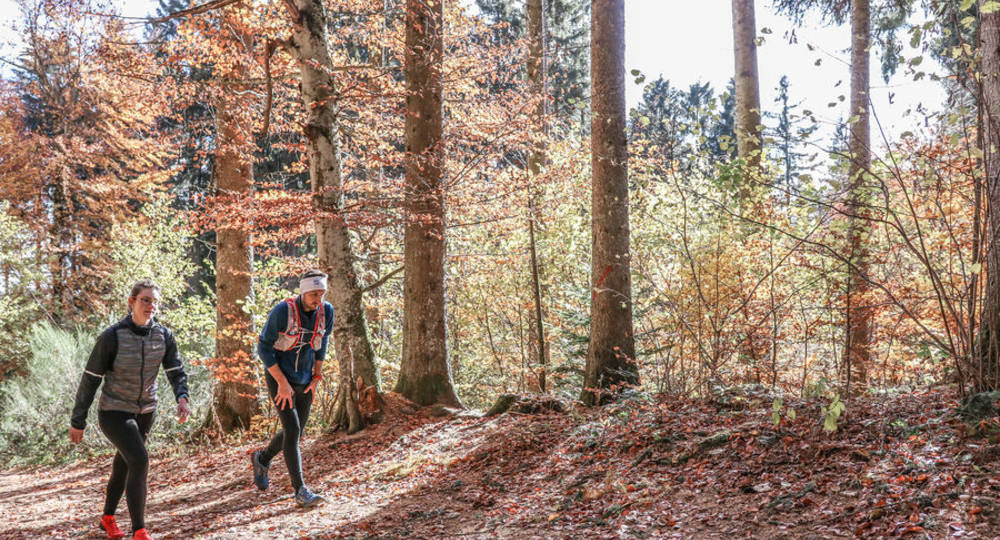
La boucle des Dômes – Parcours trail
Orcines
 No dogs allowed
Distance 10.1Km
Duration 1h30
Hiking route BOUCLE
Marking Yellow
In pictures
 Visitor alert
For information, the Chemin des Muletiers will be closed for works from November 4 to 8, 2024 and from November 12 to 15, 2024. The trail will be open at weekends and on public holidays.
Route description
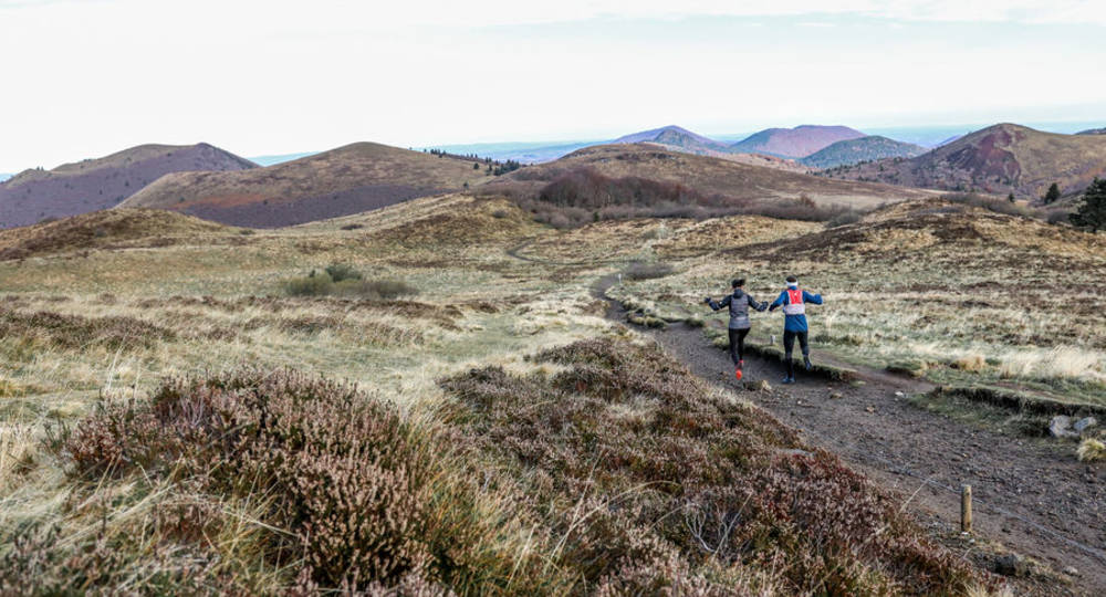
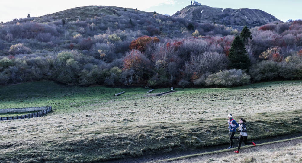
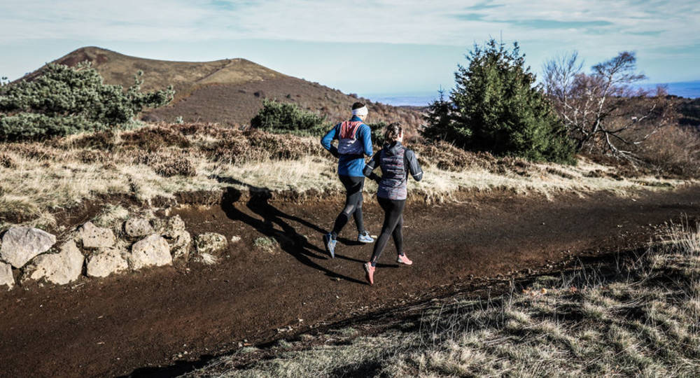
Listed as a UNESCO World Heritage Site, the Chaîne des Puys offers a fantastic playground for runners. The symbol of this volcanic line, the Puy de Dôme, is a must-see peak when you put your sneakers down in the Auvergne.
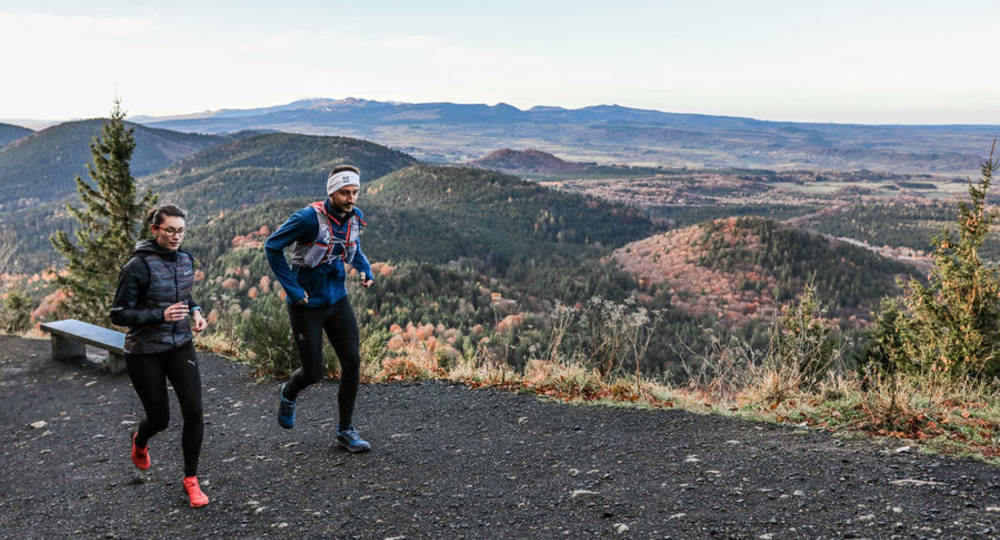
This ten-kilometer loop is open to everyone, whatever your level, and takes you up to the top of the Giant des Dômes via the famous Chemin des Muletiers, before returning to your starting point via the Chemin des Chèvres.
Departure point – From the Col de Ceyssat parking lot,(…)
Trail highlights
The Chemin des Muletiers and the Chemin des Chèvres are two of the region’s must-sees. Why not try your best time on the Muletiers ascent ? For your information, the record is 10’54 !
Guidebook with maps/step-by-step
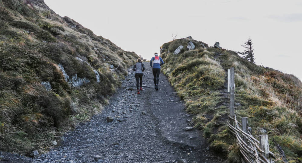
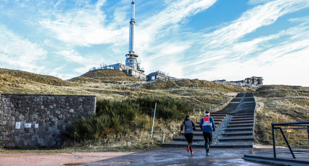
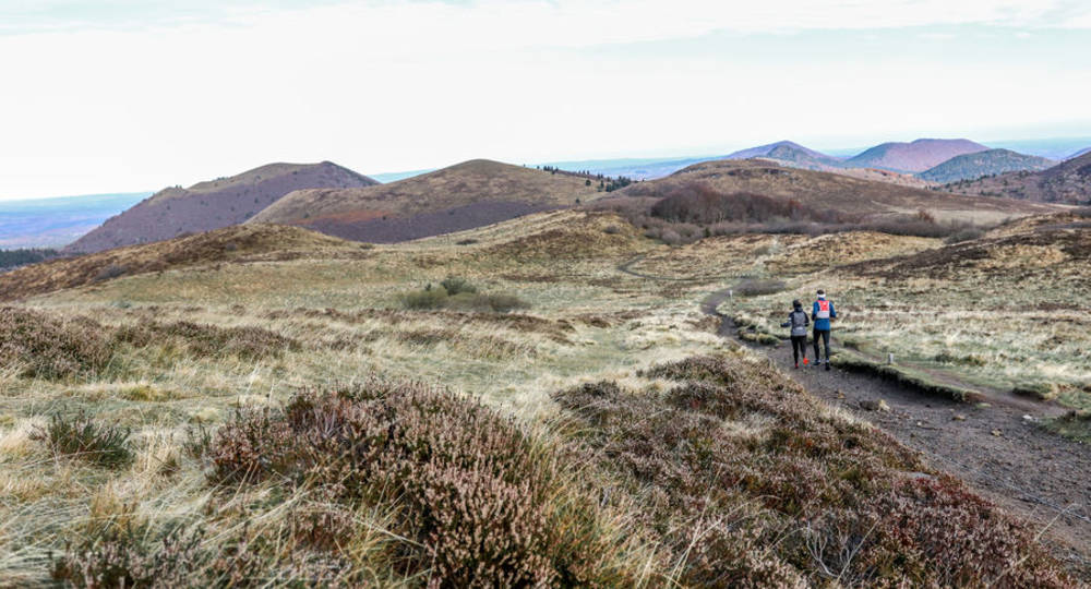
Step 1 : From the Col de Ceyssat parking lot, climb for a few hundred metres on a narrow path before turning right to head for the summit of Puy de Dôme on the Chemin des Muletiers. This 2 km trail has an ascent of 330 m – it’s uphill ! There are a total of 15 numbered bends leading to the summit. Be particularly careful with bends 3 and 13, which are really steep !
Step 2 : Between bends 2 and 3, you’ll come across the rails of the Panoramique des Dômes. Make sure you give it the right of way before continuing on the Chemin des Muletiers.
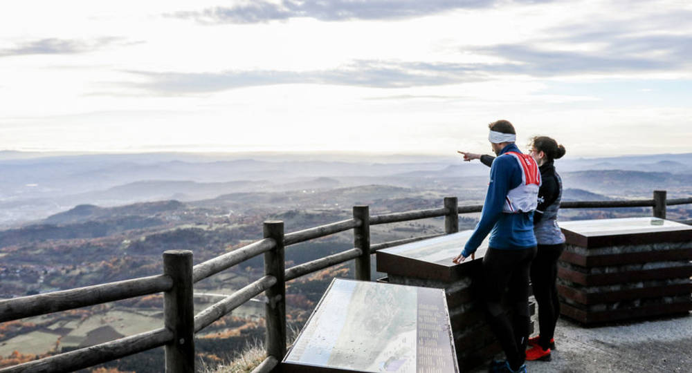
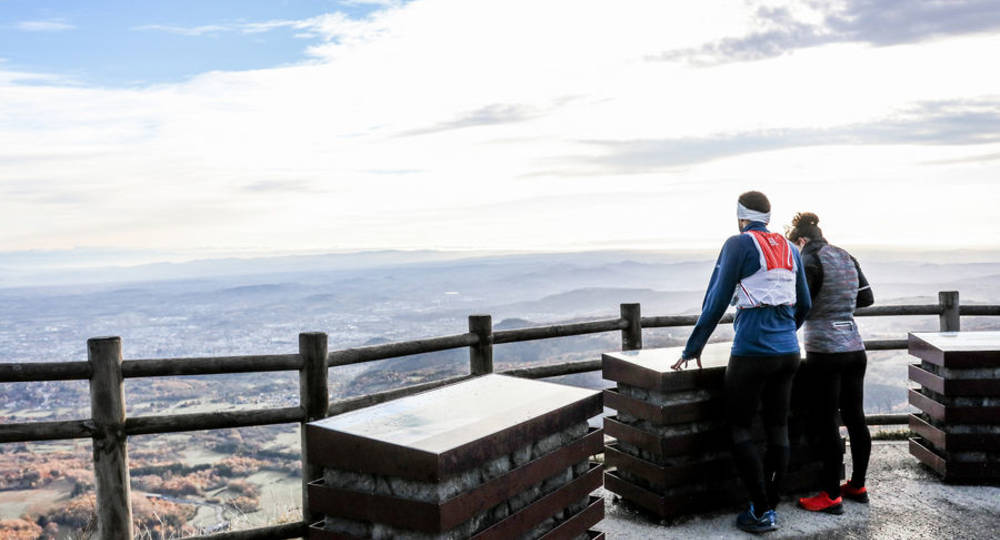
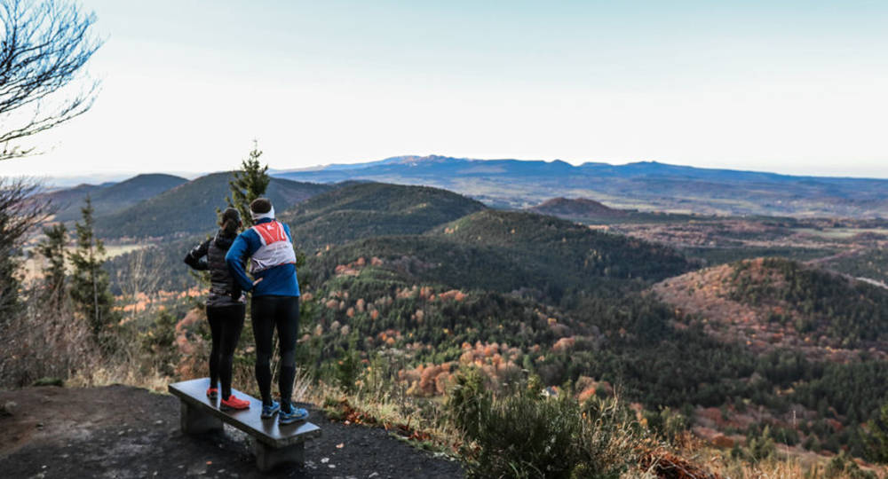
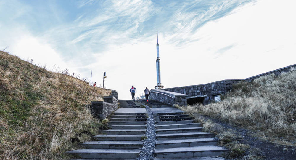
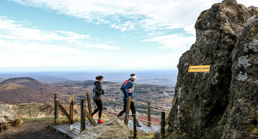
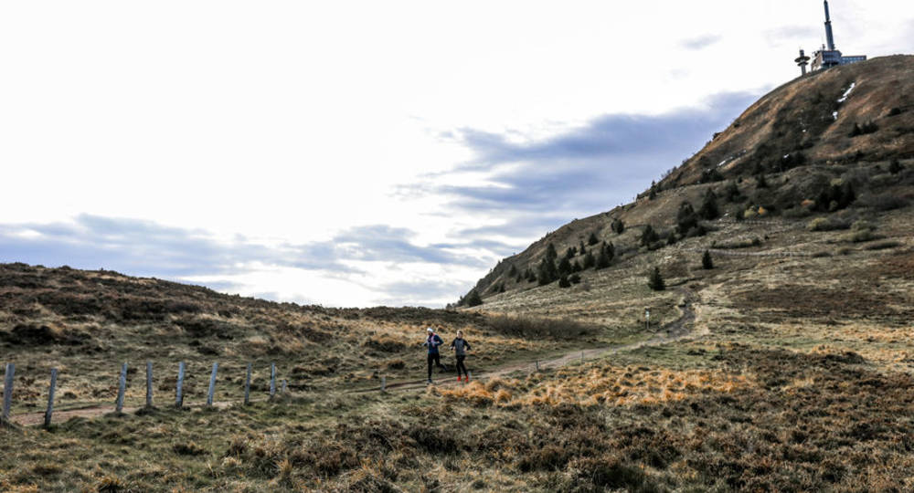
Step 3 : At the end of the Chemin des Muletiers, at the top of the stairs, turn right to cross the summit platform of the Puy de Dôme. Our itinerary continues on the road back down along the Panoramique rails, but if you wish, you can take a trip to the summit by taking the stairs along the Temple de Mercure, to admire the view and take advantage of the orientation table. You can even walk around the summit if you feel like it.
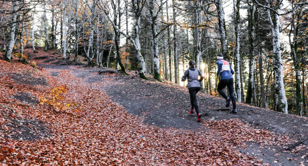
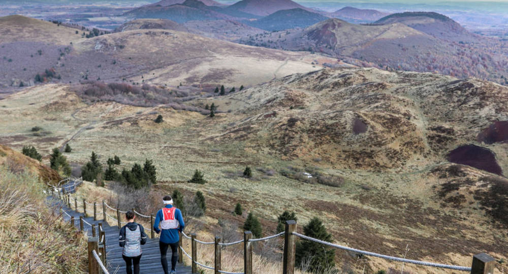
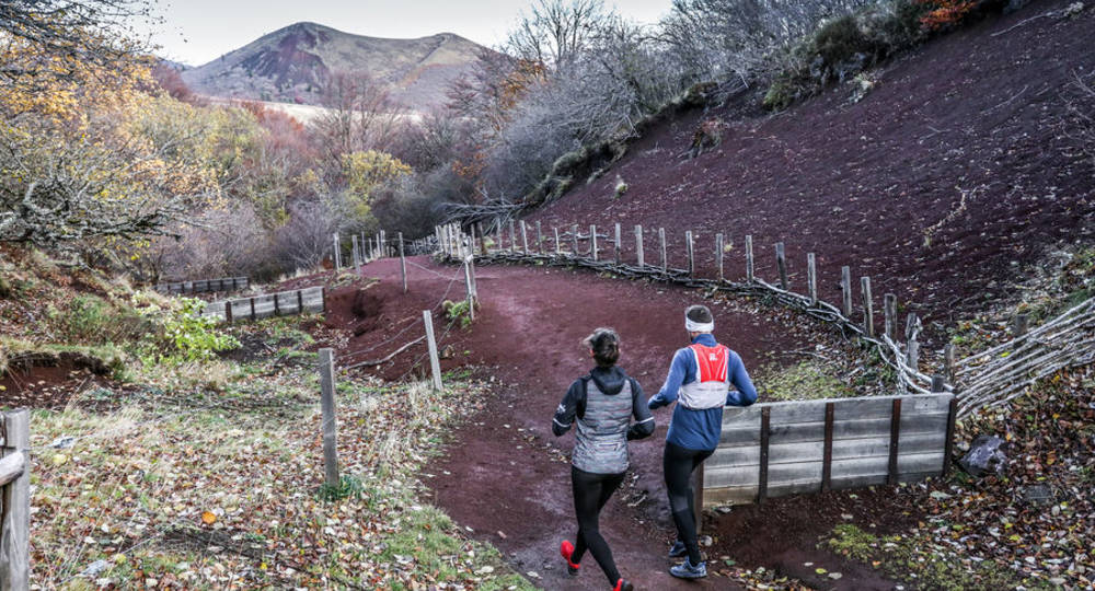
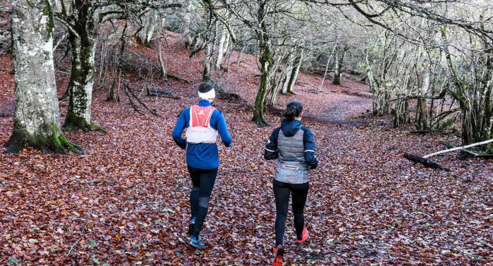
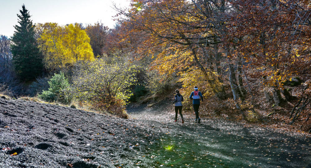
Step 4 : After following the road along the tracks, you’ll come to the start of the Chemin des Chèvres on your right. Take the stairs and follow the path to the bottom, where you’ll cross a forest with passages covered in the reddish volcanic rock known as pozzolana.
Next step
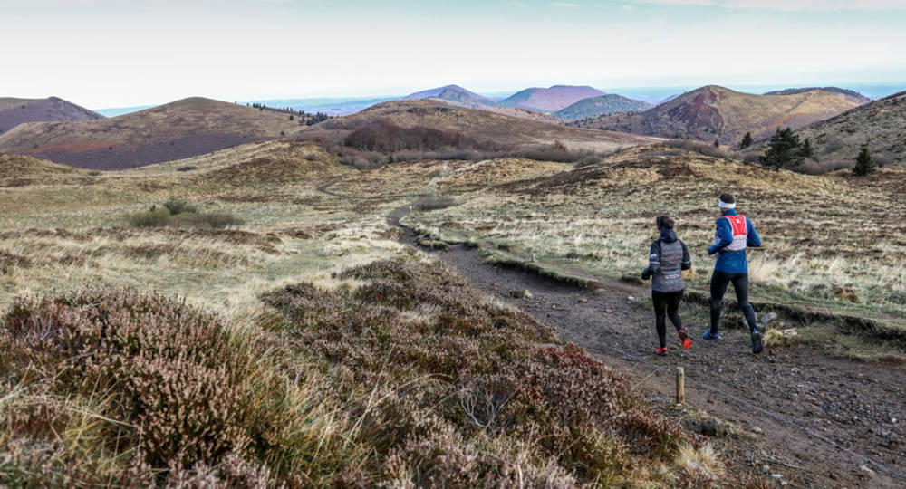
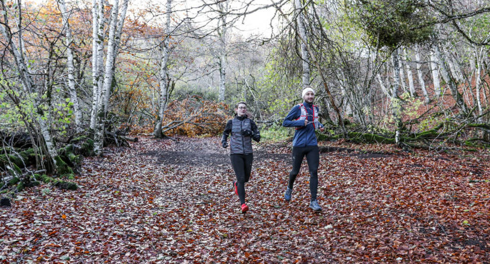
Step 5 : Once out of the forest, you’ll come to a crossroads. Don’t follow the GR4 (red and white markings) but the PR (yellow markings), which takes you to the right. There follows a gentle descent through volcanic terrain and thick forest. Be sure to follow the signs, which will always take you towards the Col de Ceyssat.
Step 6 : After 5.5 km, you’ll come to another crossroads near the Golf des Volcans. Turn right towards the Panoramique des Dômes parking lot. At km 7, you’ll see it on your left, slightly below the path
of the road you’re on.
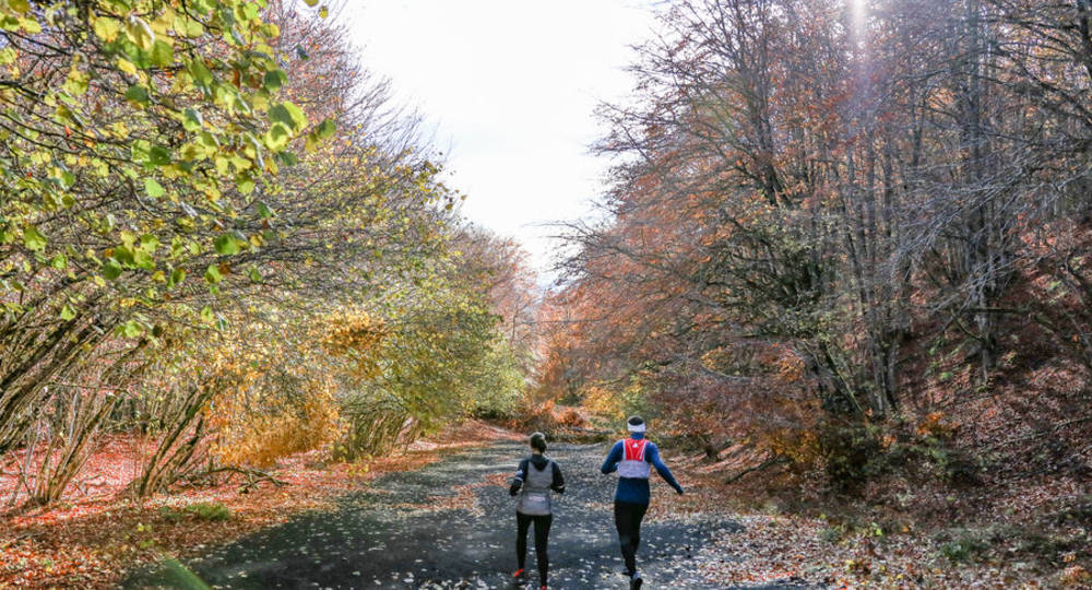
Step 7 : Continue on your current path, crossing the Panoramique des Dômes tracks and the road leading to the Col de Ceyssat. Continue through the forest in front of you for another 1 km or so.
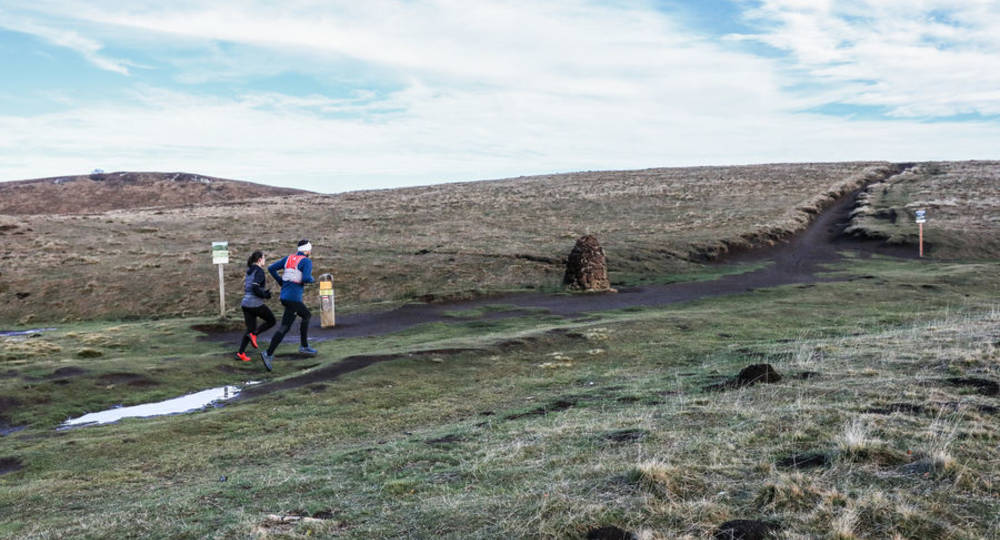
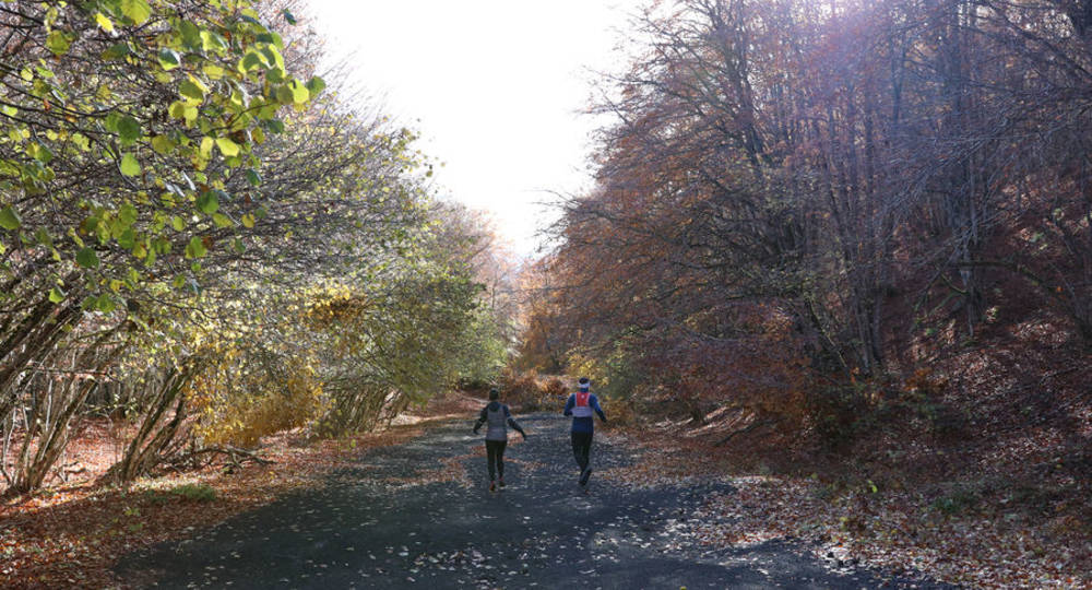
Step 8 : You will then come across a wider gravel path. Take it on your right to climb back up to the Col de Ceyssat. This is the first time since the summit of Puy de Dôme that the path has climbed. Rather easy at first, it becomes steeper and narrower as you progress towards the summit. Don’t hesitate to walk fast if you feel the need, as the pass and the finish of your loop are around 500 m away.
/* col-6_sm-12 */ ?>
Opening hours
From 01/01 to 31/12.
Subject to favorable weather.
Environment
Forest location, Mountain view, Panoramic view
Downloadable :
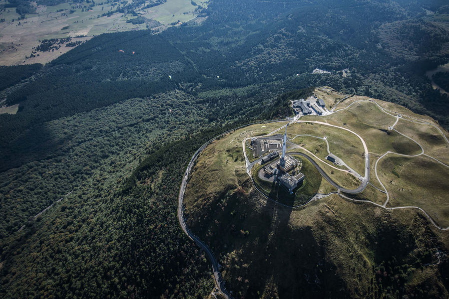
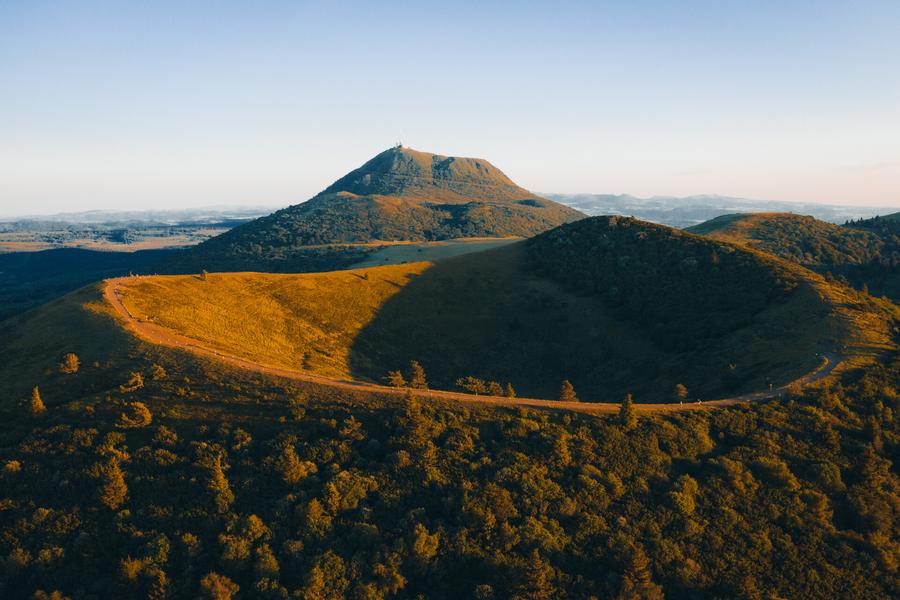
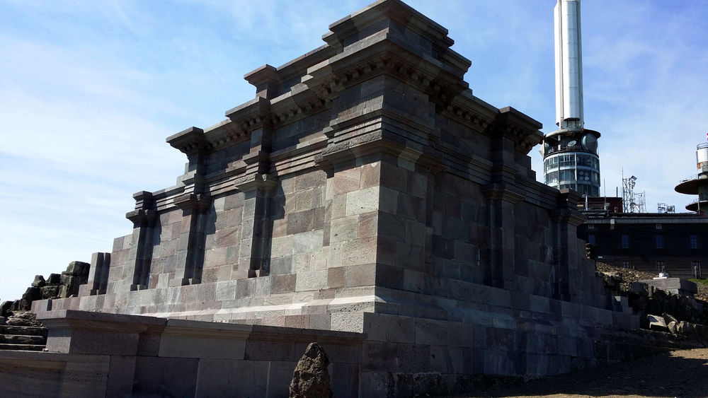
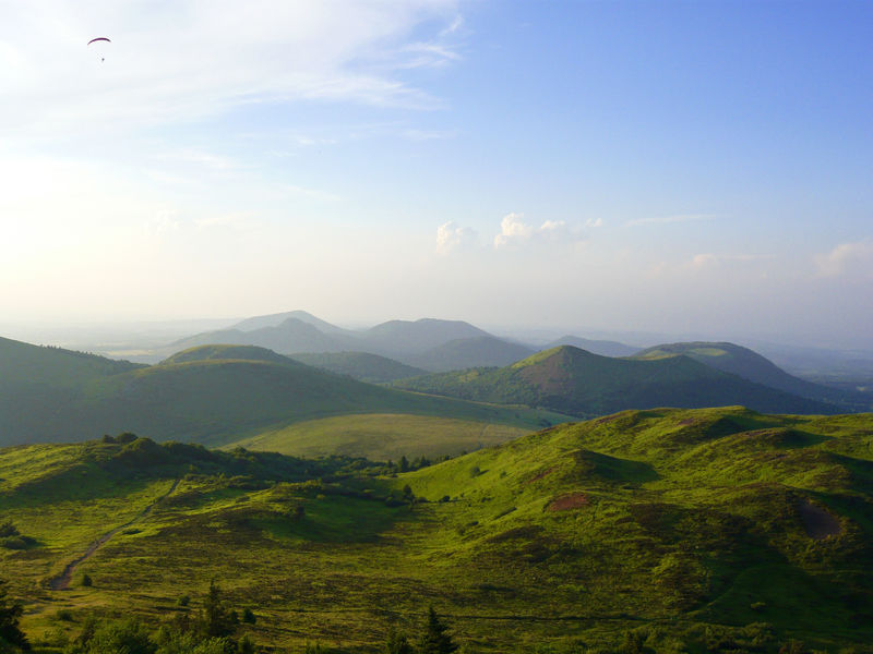
Photo credits : Conseil départemental du Puy-de-Dôme / Mickaël Mussard, Conseil départemental du Puy-de-Dôme / Mickaël Mussard, Conseil départemental du Puy-de-Dôme / Mickaël Mussard, Conseil départemental du Puy-de-Dôme / Mickaël Mussard, Conseil départemental du Puy-de-Dôme / Mickaël Mussard, Conseil départemental du Puy-de-Dôme / Mickaël Mussard, Conseil départemental du Puy-de-Dôme / Mickaël Mussard, Conseil départemental du Puy-de-Dôme / Mickaël Mussard, Conseil départemental du Puy-de-Dôme / Mickaël Mussard, Conseil départemental du Puy-de-Dôme / Mickaël Mussard, Conseil départemental du Puy-de-Dôme / Mickaël Mussard, Conseil départemental du Puy-de-Dôme / Mickaël Mussard, Conseil départemental du Puy-de-Dôme / Mickaël Mussard, Conseil départemental du Puy-de-Dôme / Mickaël Mussard, Conseil départemental du Puy-de-Dôme / Mickaël Mussard, Conseil départemental du Puy-de-Dôme / Mickaël Mussard, Conseil départemental du Puy-de-Dôme / Mickaël Mussard, Conseil départemental du Puy-de-Dôme / Mickaël Mussard, Conseil départemental du Puy-de-Dôme / Mickaël Mussard, Conseil départemental du Puy-de-Dôme / Mickaël Mussard, Conseil départemental du Puy-de-Dôme / Mickaël Mussard, Conseil départemental du Puy-de-Dôme / Mickaël Mussard, Conseil départemental du Puy-de-Dôme / Mickaël Mussard, Conseil départemental du Puy-de-Dôme / Mickaël Mussard, Conseil départemental du Puy-de-Dôme / Mickaël Mussard, Conseil départemental du Puy-de-Dôme / Mickaël Mussard, Conseil départemental du Puy-de-Dôme / Mickaël Mussard, Conseil départemental du Puy-de-Dôme / Mickaël Mussard, Conseil départemental du Puy-de-Dôme / Mickaël Mussard