![]()
Chaîne des Puys – faille de Limagne
Clermont-Ferrand
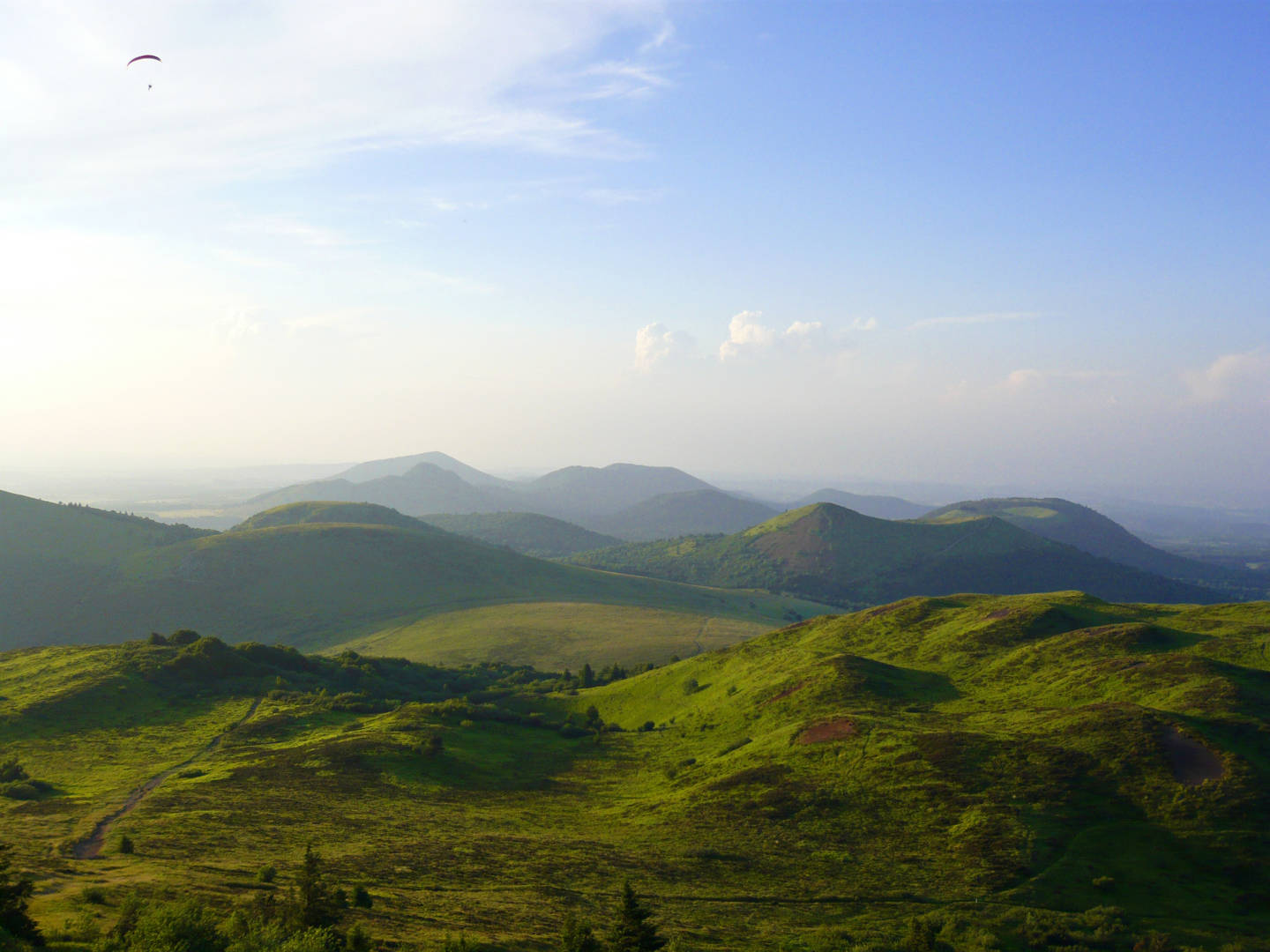
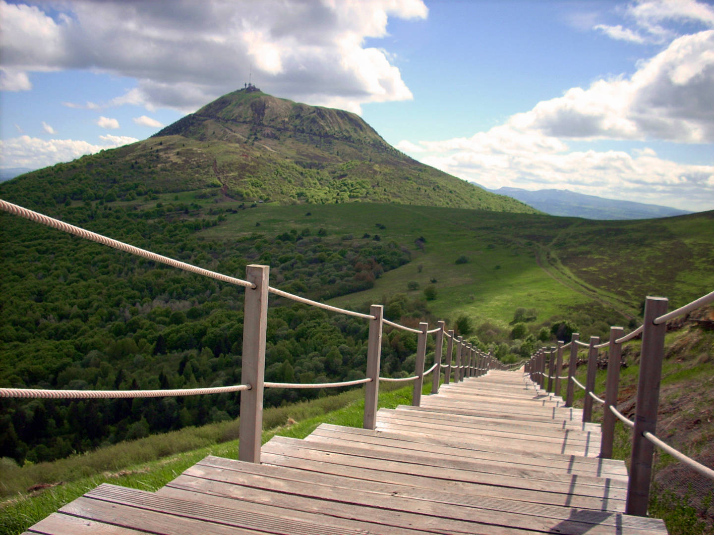
As the cradle of volcanology, the site is a Mecca of volcanism and includes some remarkable edifices. Comprising 80 volcanoes, the Chaîne des Puys – Limagne fault is exceptional for its alignment and diversity of forms.
Indissociable from the image of the Auvergne region, the Chaîne des Puys – Limagne Fault is a very recent group of 80 peaks representing all forms of volcanism. The eruptions that formed these cones, domes and maars took place between 95,000 and 8,400 years ago. The highest peak is the(…)
Spoken languages
Opening hours
All year round daily.
Subject to favorable snow and weather conditions.
Prices and payment methods
- Free access.
Location
Environnements
Presence of livestock and guard dogs
You might also like…
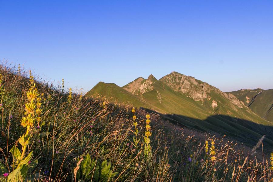
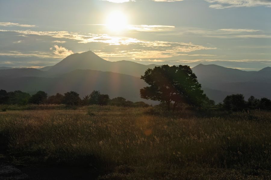
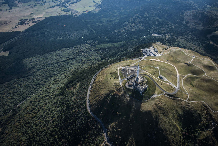

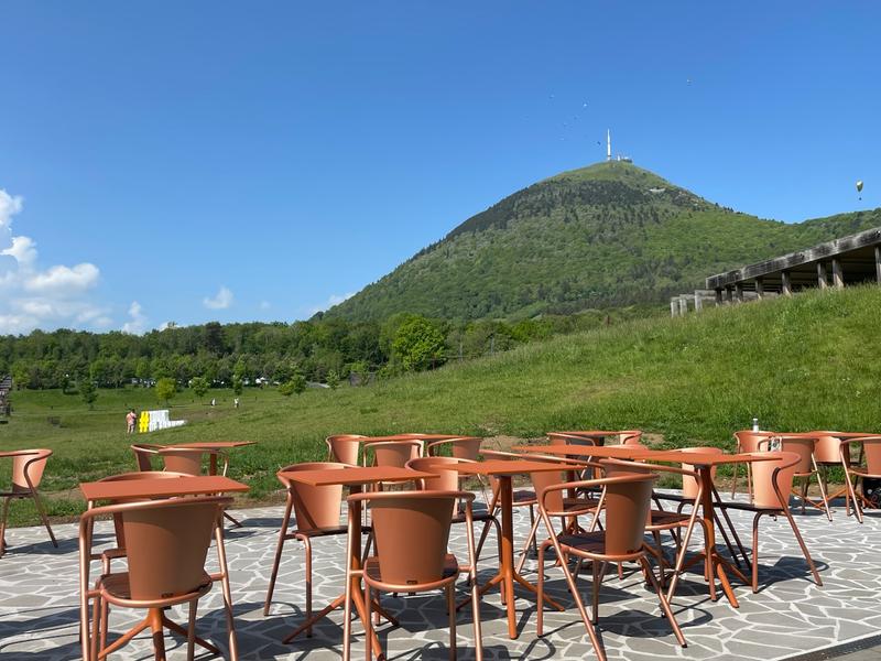
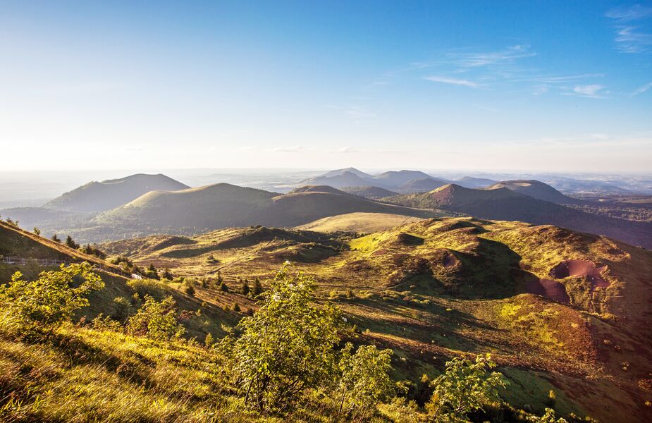
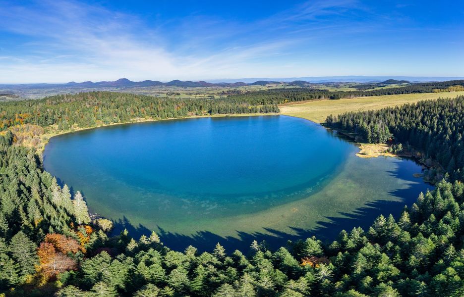
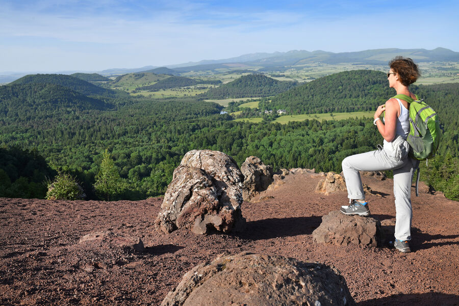
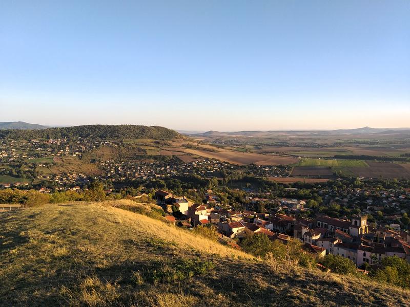
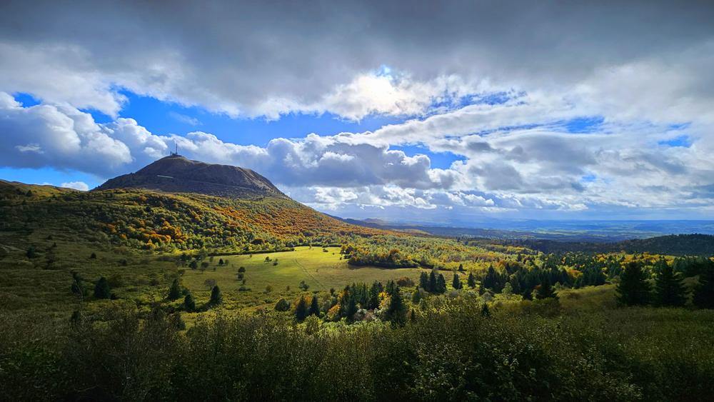
Photo credits : Conseil départemental du Puy-de-Dôme, Conseil départemental du Puy-de-Dôme