![]()
Le gour de Tazenat
Charbonnières-les-Vieilles
 Dogs allowed
Distance 7Km
Duration 2h00
Hiking route BOUCLE
Marking Blue
In pictures


Route description
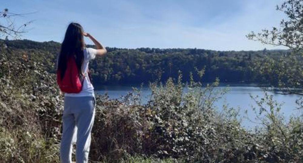
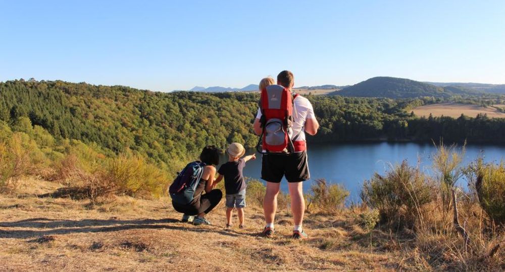
A perfect circle 700 m in diameter and around 66 m deep, the Gour de Tazenat is a crater lake, or maar, whose clear waters are home to a variety of aquatic fauna.There is a steep path through the undergrowth that leads around the lake.
Trail highlights
View of the Morge valley, the Combrailles, the Gour de Tazenat and the Chaîne des Puys.
Guidebook with maps/step-by-step
Step 1 : From the parking lot, take the path up towards the gour. Go right along the lake to the beach. Go right along the edge of the wood to the road, leaving the shortcut on your left.
Step 2 : Turn right, then left through the village of Les Forges, to a crossroads of four paths after the pond.
Step 3 : Turn left up to a T-junction. Turn left and follow the road to the D17 (view of the Morge valley and the Combrailles). Follow it to the left as far as the bend. Leave the D17 and continue straight ahead on the tarmac road. Pass the first four-way junction and continue on this road to another junction.
Step 4 : Take the track on the left (view of the Gour de Tazenat, the Chaîne des Puys and the Combrailles). After the parking lot, turn left (in the wrong direction) to go down to the lakeside. Turn right after the bar to get back to the start.
Proposed and managed by the Conseil départemental du Puy-de-Dôme – PDIPR.
/* col-6_sm-12 */ ?>
Opening hours
All year round daily.
Subject to favorable weather.
Comfort, facilities and services
- Pets welcome
Additional information
For your own safety, always take a bottle of water, a hat, warm clothing and footwear suitable for walking.
Depending on weather conditions, certain itineraries are not recommended in bad weather (fog) or are not practicable, or even forbidden, during the winter season.
Some sites are fragile, so stay on the marked trails. Avoid picking wild flowers and disturbing wildlife. Pick up your garbage.
Animals are not allowed on some routes.
Dogs allowed Dogs must be kept on a leash due to the presence of herds.
Environment
Mountain view, Presence of livestock and guard dogs
Access
North-west of Riom, between Manzat and Charbonnières-les-Vieilles, on the D19. Parking gour de Tazenat.
Downloadable :
You might also like…
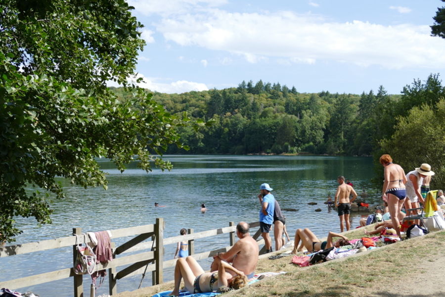
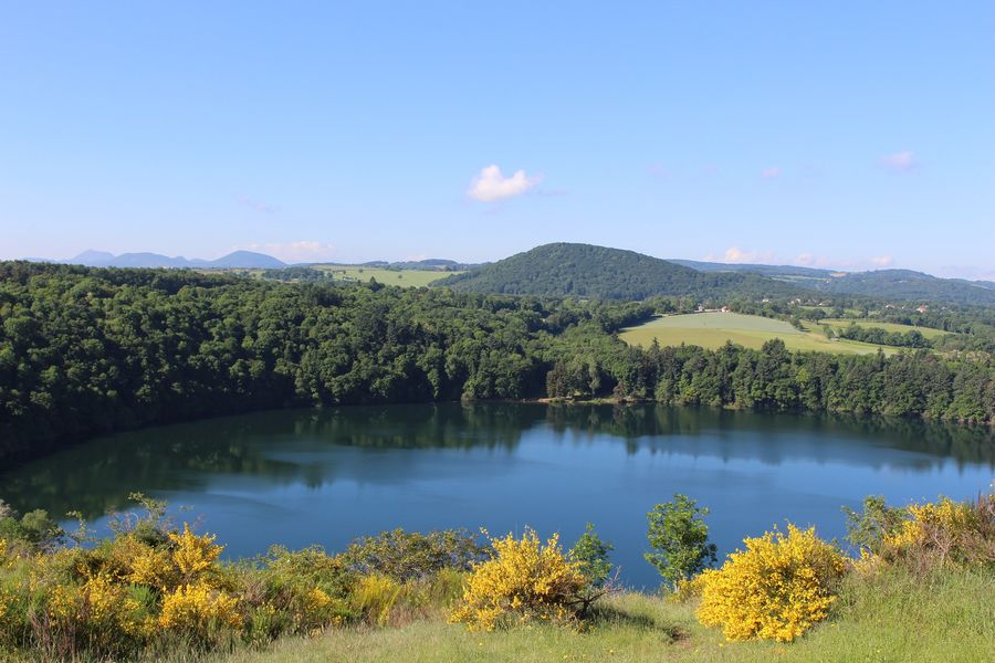
Photo credits : CD63/Francis Cormon, CD63/Francis Cormon, OT Combrailles, OT Combrailles