
The tour of the peak of Cluzel
Courgoul
 Dogs allowed
Distance 9Km
Duration 2h45
Hiking route BOUCLE
Marking Yellow
In pictures


Route description
The tour of the peak of Cluzel takes place on a small path that rises gently, following the slopes of the oak wooded peak. Throughout this hike, the views of the valley are many and varied.
Starting point – Go up the alley on the right of the church. At the first crossing, turn left and then immediately right. At the water trough, turn right and go up the path opposite. Continue the ascent on the main road to an intersection.
1 – Go(…)
Trail highlights
– View of the Jonas caves and the Sancy massif.
– A source of ferruginous water.
– The Couze Pavin.
– Ancient charcoal kilns.
– View of the Brionnet peak.
– Notre-Dame du Mont-Carmel chapel.
– The Courgoul gorges and the Pailhats trail.
Guidebook with maps/step-by-step
Step 1 : Go up the lane to the right of the church. At the first crossroads, turn left, then immediately right. At the drinking trough, turn right and climb the track opposite. Continue up the main path until you reach an intersection.
Step 2 : Turn right down the track. At the T junction, continue downhill on the right to the village of Pradelle. At the road, turn right until a path branches off to the left at the village exit (transformer pole).
Step 3 : Take this path up to a T-junction. Go down to the right (another PR on the left). At the fork, keep left. Continue (in the S bend, view of the Jonas caves and the Massif du Sancy) to a stone bridge.
Step 4 : Cross the bridge and descend to the right. Follow the stream (source of ferruginous water). At the road, turn right over the bridge over the Couze Pavin and immediately left. Climb through the woods and stay on the main path until you reach a fork.
Next step
Step 5 : Go downhill to the left (old charcoal kilns and promontory with views of the Brionnet peak, Notre-Dame du Mont-Carmel chapel and Gourgoul gorges). Continue along the path (pailhats). At the road, turn right to reach the starting point.
Proposed and managed by the Conseil départemental du Puy-de-Dôme – PDIPR.
Opening hours
From 01/01 to 31/12 daily.
Subject to favorable weather.
Comfort, facilities and services
- Pets welcome
Additional information
For your own safety, always take a bottle of water, a hat, warm clothing and footwear suitable for walking.
Depending on weather conditions, certain itineraries are not recommended in bad weather (fog) or are not practicable, or even forbidden, during the winter season.
Some sites are fragile, so stay on the marked trails. Avoid picking wild flowers and disturbing wildlife. Pick up your garbage.
Animals are not allowed on some routes.
Dogs allowed Dogs must be kept on a leash due to the presence of herds.
Environment
In the country, Forest location, Overview on river, Presence of livestock and guard dogs
Access
From Champeix, south-west of Clermont-Ferrand, take the D25 towards Saint-Floret, then the D26 to Courgoul. Park near the church, go up the lane to the right of the church.
Downloadable :
You might also like…
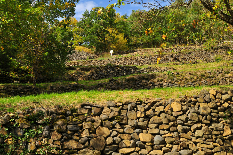
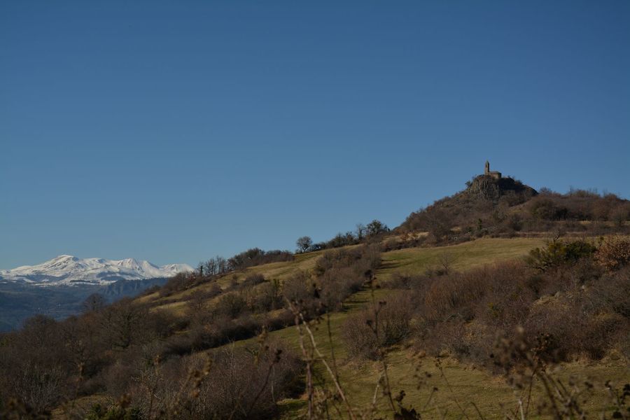
Photo credits : Norbert Dutranoy, Norbert Dutranoy
 Updated on 29 May 2026 by Conseil départemental du Puy-de-Dôme