![]()
Parcours Chamalières, du parc thermal au centre ville
Royat
 Dogs allowed
Distance 4.6Km
Duration 1h30
Hiking route BOUCLE
In pictures

Route description
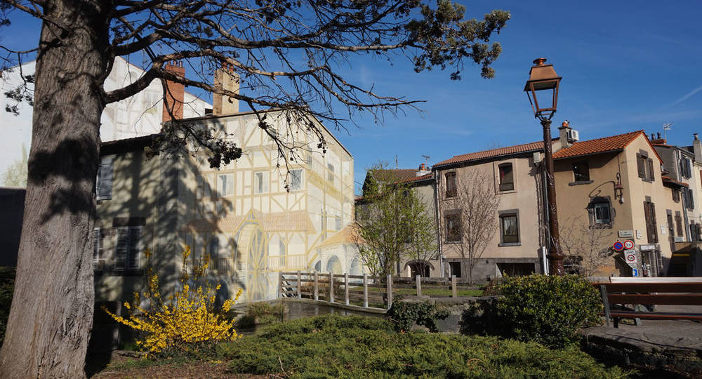
Chamalières has something to satisfy even the most curious minds.
Trail highlights
The route to follow :
– On your smartphone with the Wivisites geolocation and audio guide (follow the “Website” link)
– With the paper guide “De-ci de-là” available free of charge from the Royat Chamalières tourist office.
– You can download the GPX track onto your smartphone (download link at bottom of page).
/* col-6_sm-12 */ ?>
Opening hours
All year round.
Comfort, facilities and services
- Pets welcome
Dogs allowed
Environment
Town location, Close to a public transportation, Bus stop < 500 m
Downloadable :
You might also like…

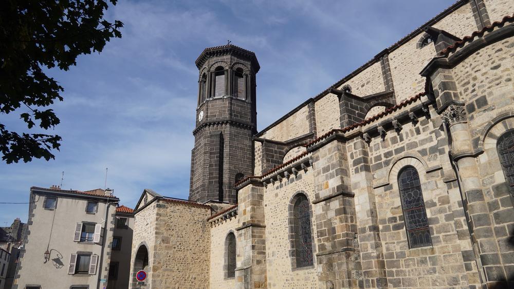
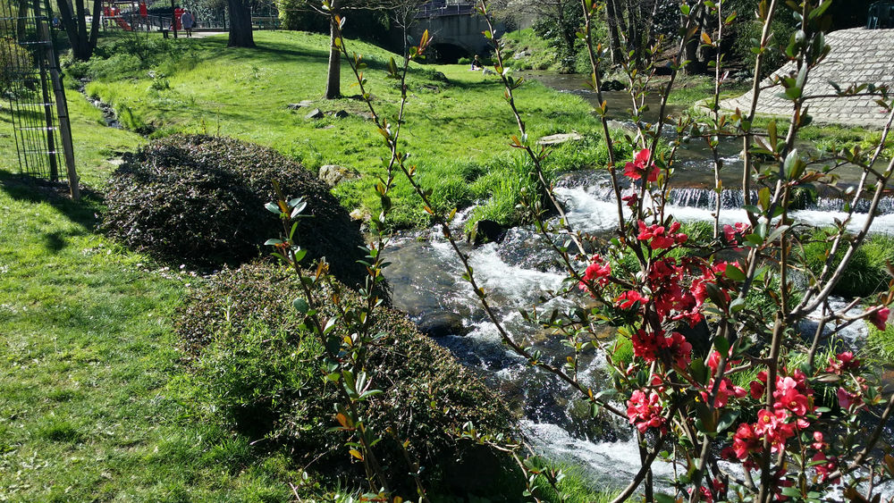
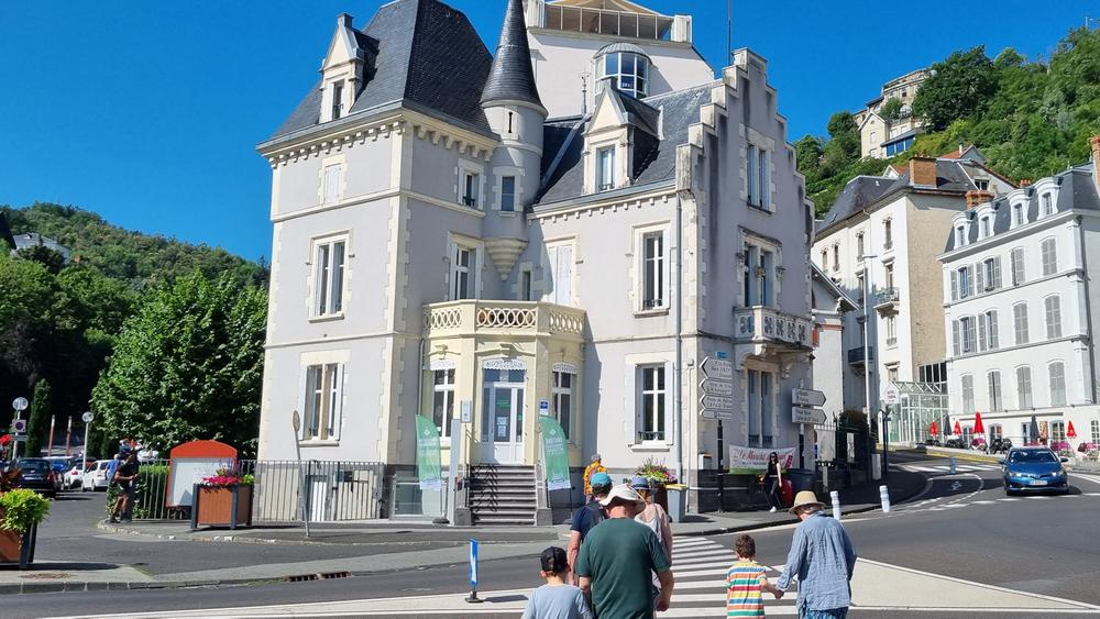

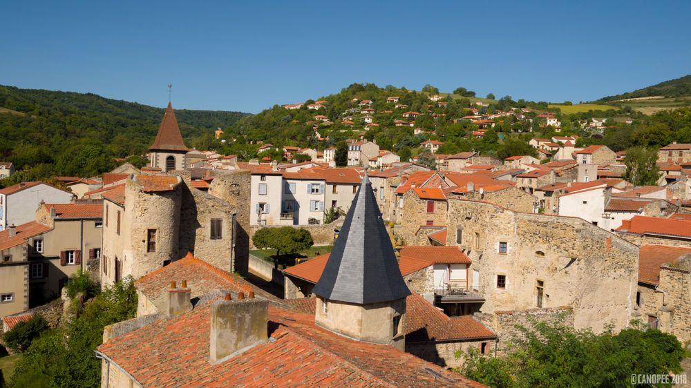
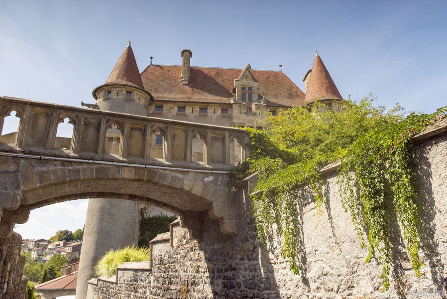
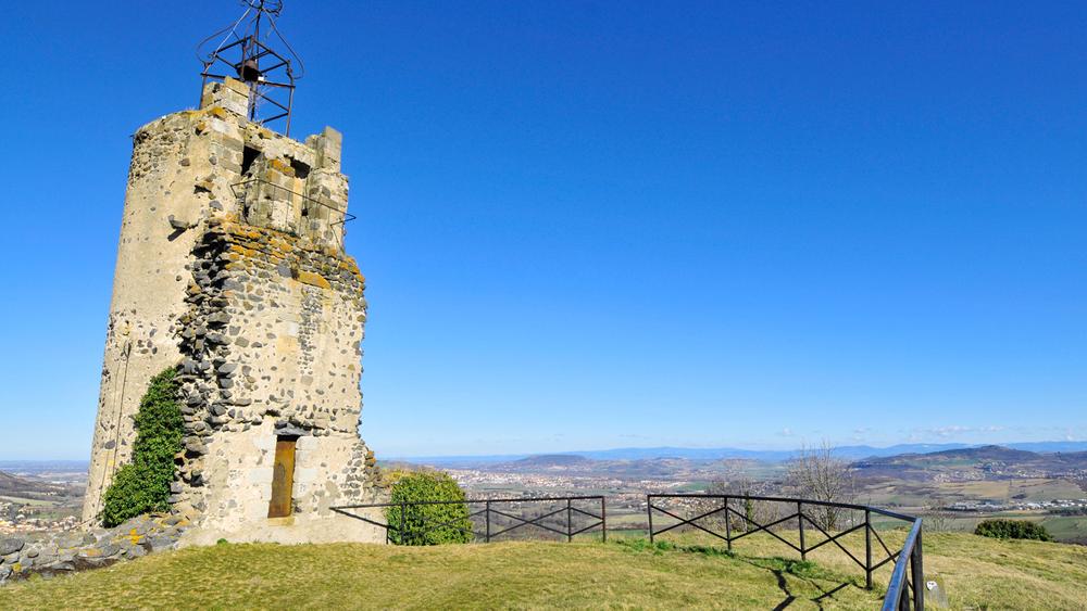

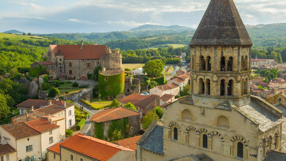

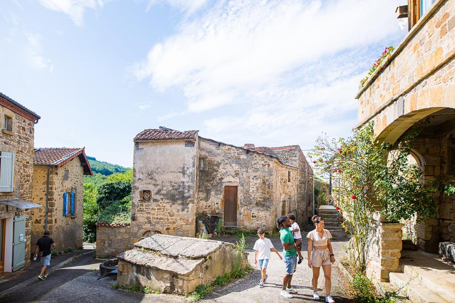
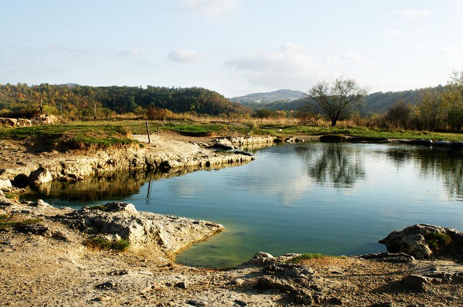
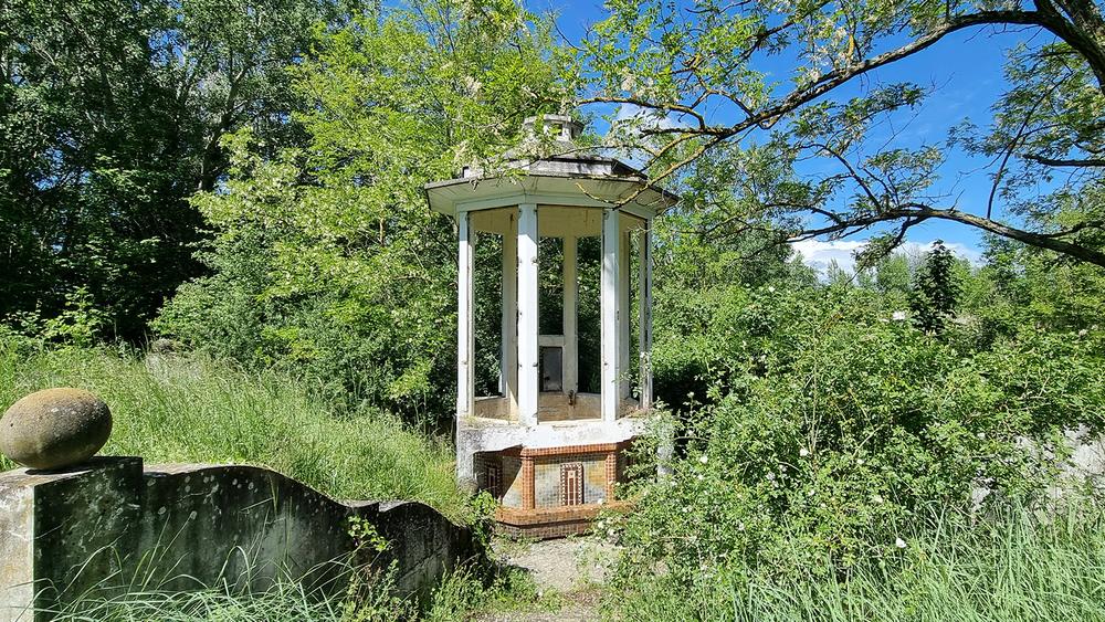
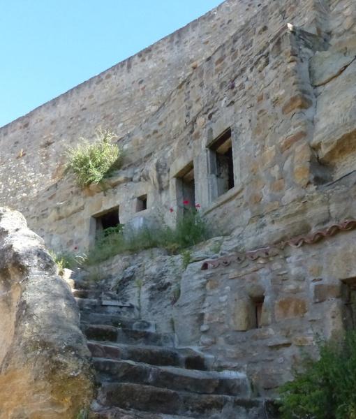
Photo credits : ESM-CAT