
Cheire de Come
Saint-Ours
 Dogs allowed
Distance 11Km
Duration 3h15
Hiking route BOUCLE
Marking Yellow
In pictures
Route description
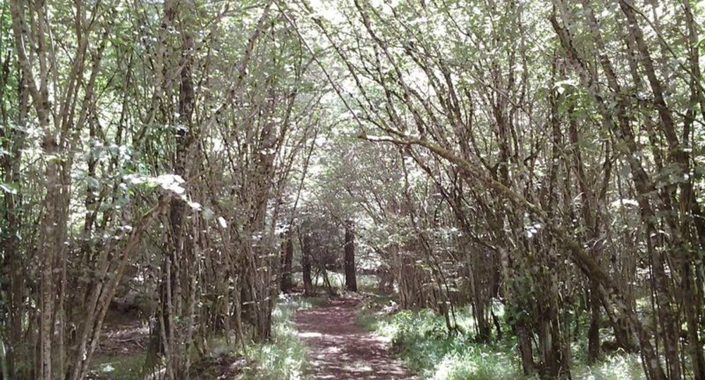
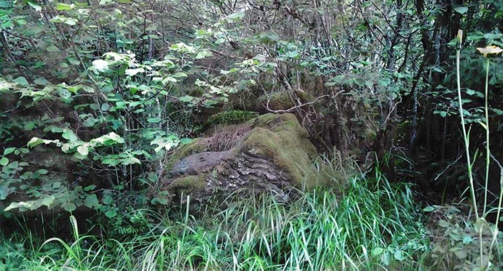
A walk on a vast cheire where 8 different basalt flows line the path. The curious can decipher the “Signed Stone” : an engraved cross and arrows seem to point the way to the village of Chazaloux, which was used by the maquis.
Trail highlights
– Vulcania and Lemptégy volcano nearby.
– Château Dauphin in Pontgibaud.
Guidebook with maps/step-by-step
Step 1 : After leaving the parking lot, turn left along the wide track for 600 m to a crossroads. Turn left and continue to a crossroads.
Step 2 : Turn right and continue straight ahead under the power line to another crossroads.
Step 3 : Go up to the left for 20 m, then take the path to the right and at the T-junction, turn left at the hamlet of Les Roches. At the first fork in the road, turn left onto a grassy path. After “la roulotte des bergers”, continue straight ahead to the next T-junction.
Step 4 : Turn left and stay on this path until you reach a wide track.
Next step
Step 5 : Turn right for 40 m (just after point 3, on the slightly higher right, you’ll see a pretty, well-preserved stone shepherd’s hut), then leave it to take a path on the left (further on, you’ll see a carved stone called the “pierre signée”). At the fork in the road, at a signpost, keep left until you reach a fork in the road.
Step 6 : Go down to the left in front of an old quarry and follow the path through the beech trees to a perpendicular path. Descend to the left and continue to a crossroads.
Step 7 : Turn left onto this wide track, which you follow for 300m. Turn right. Opposite the gate of a water catchment protection area, turn right for 100 m (opposite the enclosure gate).
Step 8 : Fork right onto an inconspicuous path. Keep to the left. Before reaching the wide track, turn right, then fork left. Join a track, take it on the left and go as far as a crossroads (point 1). Follow the same route as before : turn right, then right again at the next junction to return to the starting point.
Proposed and managed by the Conseil départemental du Puy-de-Dôme – PDIPR.
Opening hours
From 01/01 to 31/12 daily.
Subject to favorable weather.
Comfort, facilities and services
- Pets welcome
Additional information
For your own safety, always take a bottle of water, a hat, warm clothing and footwear suitable for walking.
Depending on weather conditions, certain itineraries are not recommended in bad weather (fog) or are not practicable, or even forbidden, during the winter season.
Some sites are fragile, so stay on the marked trails. Avoid picking wild flowers and disturbing wildlife. Pick up your garbage.
Animals are not allowed on some routes.
Dogs allowed Dogs must be kept on a leash due to the presence of herds.
Environment
Forest location, Presence of livestock and guard dogs
Access
From the Vulcania entrance, continue on the D559 towards Mazayes for 1.4 km. Start/parking sign 50m on right.
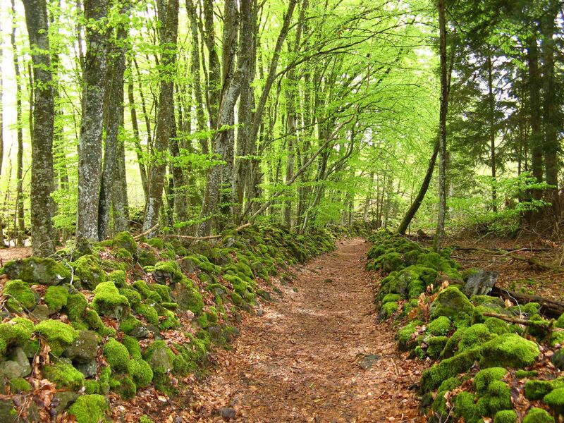
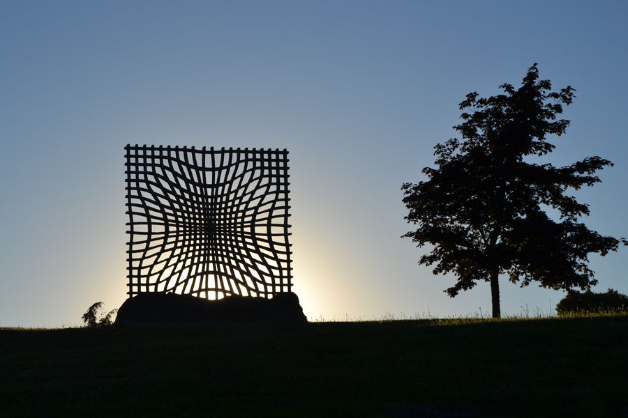
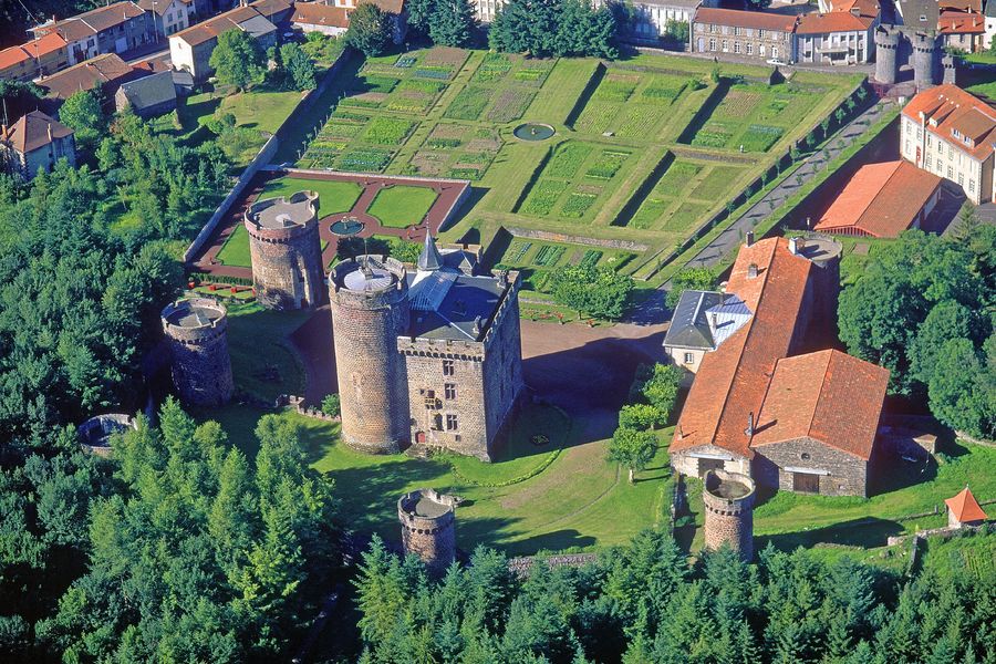
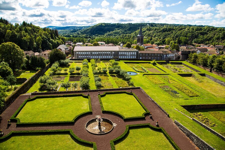
Photo credits : Conseil départemental du Puy-de-Dôme, Conseil départemental du Puy-de-Dôme, Conseil départemental du Puy-de-Dôme
 Updated on 29 May 2026 by Conseil départemental du Puy-de-Dôme