![]()
The Chopine and Gouttes puys
Saint-Ours
 Dogs allowed
Distance 6Km
Duration 2h00
Hiking route BOUCLE
Marking Blue
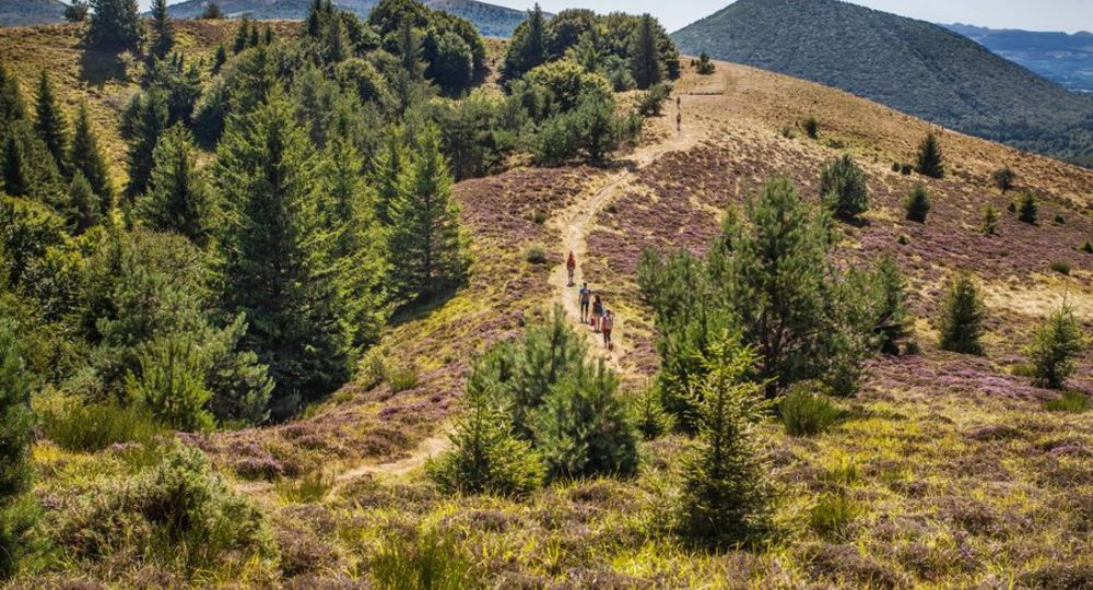
In pictures

Route description
This walk, partly through undergrowth and forest, takes you up a gentle slope to the summit of the interlocking puys des Gouttes and Chopine craters, towering over the landscape at 1,181 m above sea level.
Trail highlights
– Fontaine des Pères above point 1.
– Panoramic view of the puy de Dôme and surrounding puys.
– Nearby : aiguille du puy Chopine, Vulcania, puy de Lemptegy.
Guidebook with maps/step-by-step
Step 1 : Opposite the parking lot, turn left along a fence. It becomes a wide path. Follow it past the “Fontaine des Pères” and a sheep pen. Ignore the paths to the right and left and come to an intersection near a plot of land enclosed by a large metal gate.
Step 2 : Turn right onto a path that rises gently through the beech forest and continue to the first intersection.
Step 3 : Turn right onto the track that climbs up through the undergrowth between the Chopine and Gouttes puys. Use a stepladder to climb over a fence. The slope steepens to reach the lip of the puy des Gouttes crater.
Step 4 : Take the path on the left, following the crater rim to the summit (view of the puy de Dôme, the Puys chain, the Sancy massif, the Artense, the Combrailles and, overhanging, the puy de Lemptégy quarry and the Vulcania site). Follow a fence along the edge of the wood and then descend into the beech forest. At the bottom of the descent, cross a fence using a stepladder.
Next step
Step 5 : Turn right onto the wide farm track ; at the next crossroads, leave the left-hand track and continue back to the starting point.
Proposed and managed by the Conseil départemental du Puy-de-Dôme – PDIPR.
/* col-6_sm-12 */ ?>
Opening hours
From 01/01 to 31/12 daily.
Subject to favorable weather.
Comfort, facilities and services
- Pets welcome
Additional information
For your own safety, always take a bottle of water, a hat, warm clothing and footwear suitable for walking.
Depending on weather conditions, certain itineraries are not recommended in bad weather (fog) or are not practicable, or even forbidden, during the winter season.
Some sites are fragile, so stay on the marked trails. Avoid picking wild flowers and disturbing wildlife. Pick up your garbage.
Animals are not allowed on some routes.
Dogs allowed Warning : grazing areas. Keep dogs on a leash. Close fence gates and use ladders. Passage to summer pastures.
Environment
Mountain view, Mountain location
Access
How to get there : from Clermont-Ferrand, take the D941 towards Pontgibaud. After the Col des Goules, at the Vulcania roundabout, turn right onto the D559 towards Chanat. After 200 m, park in the large parking lot on the left.
Downloadable :
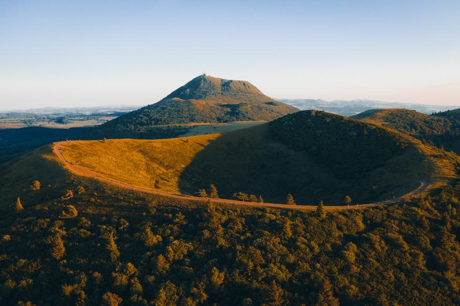
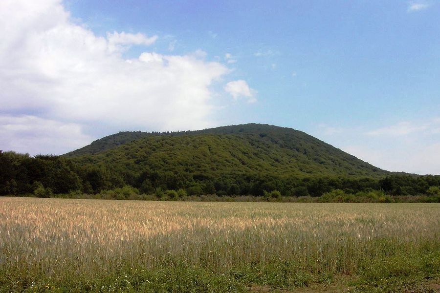
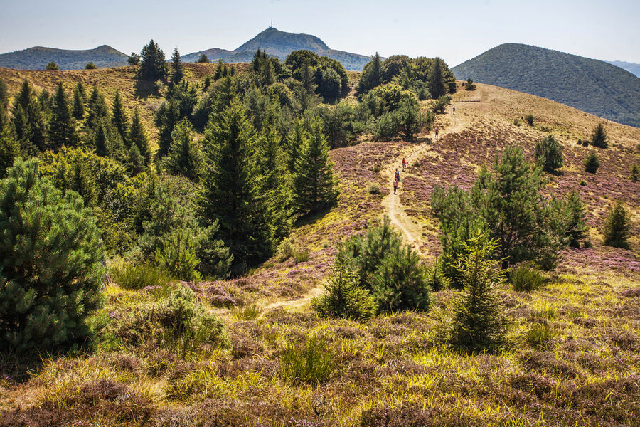
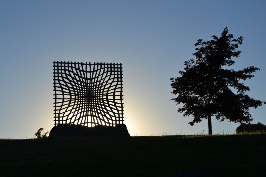
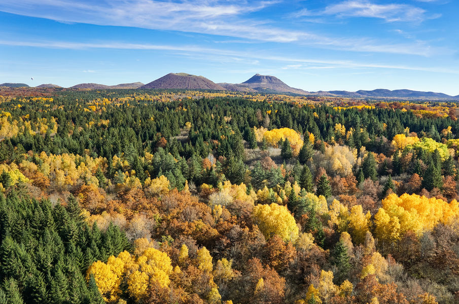
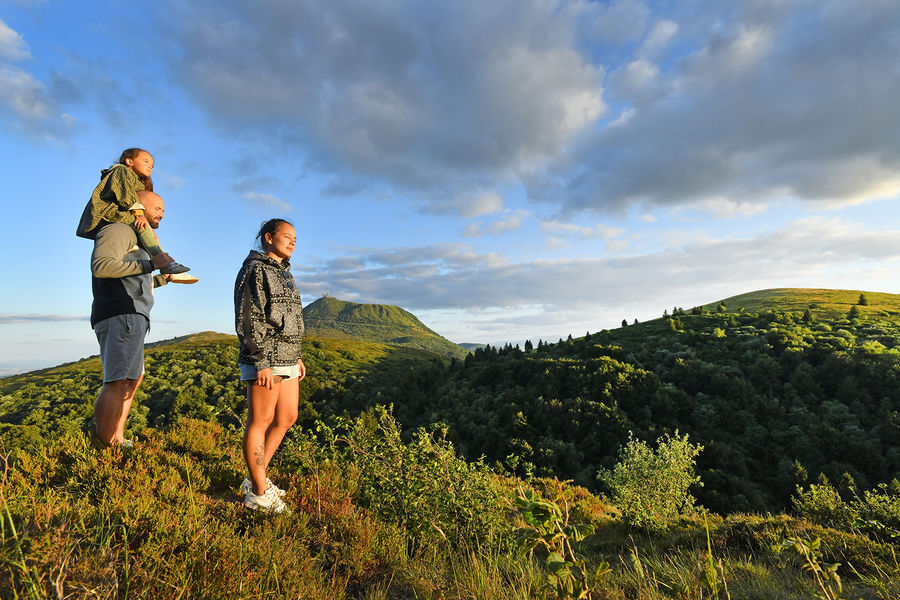
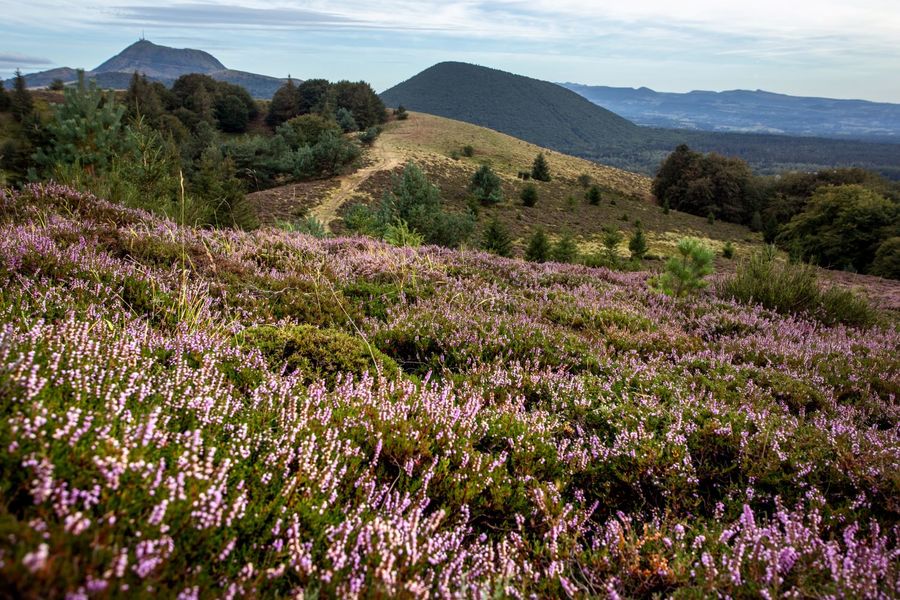
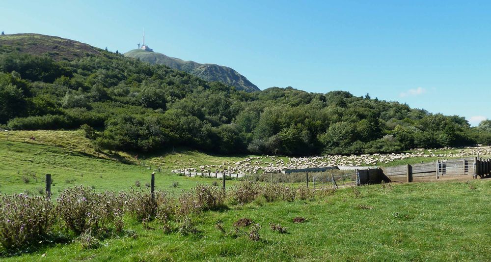
Photo credits : David Frobert, David Frobert