![]()
GTVA , Grande Traversée des Volcans d'Auvergne on foot : 210 km from Puy-de-Dôme to Cantal
GTVA : the legendary hiking route through the Auvergne volcanoes
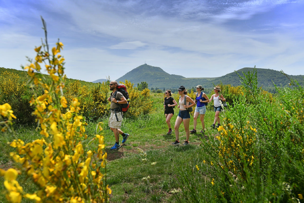
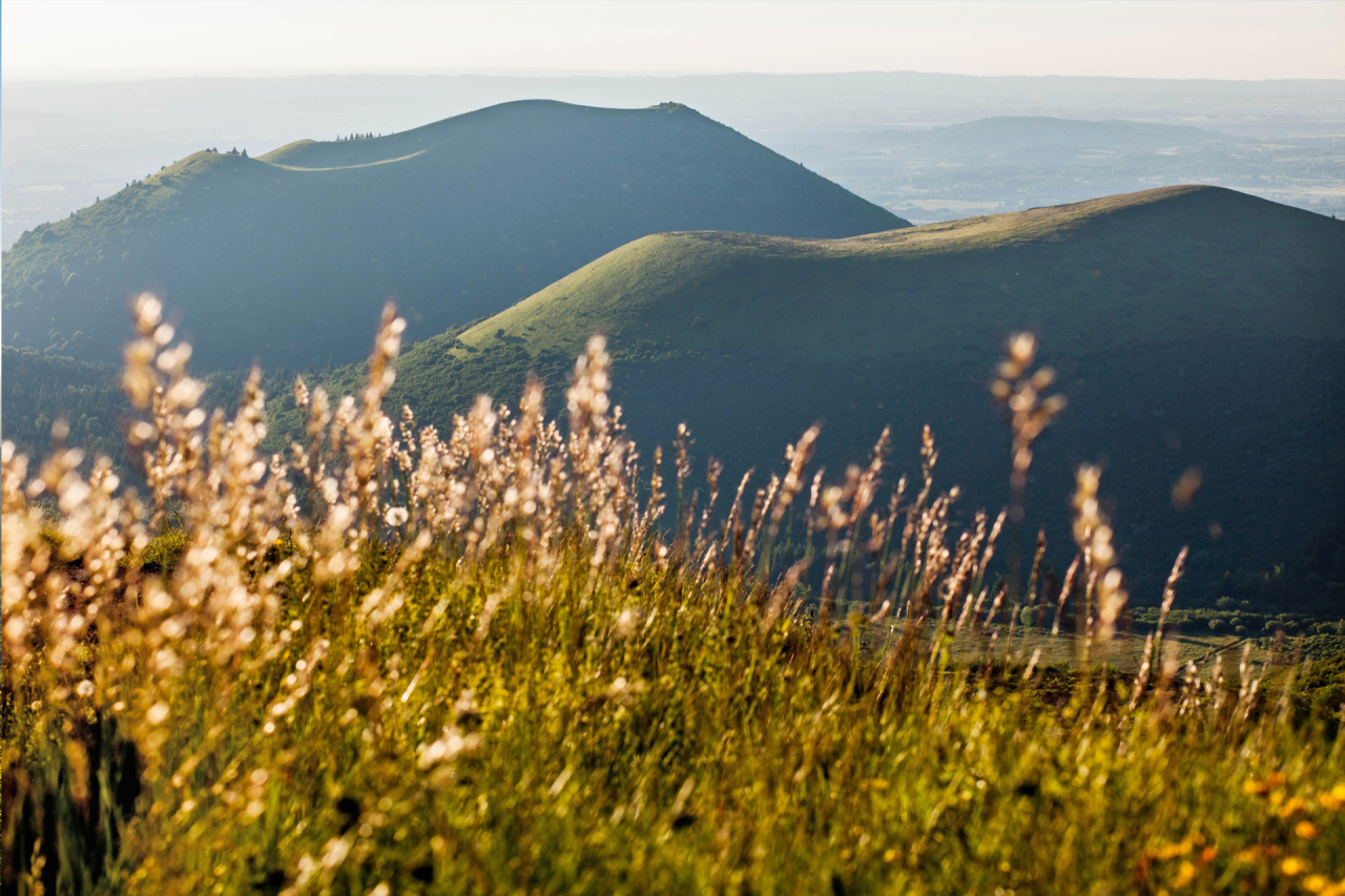
The Grande Traversée des Volcans d'Auvergne (GTVA) is a unique long-distance hiking route, starting in Clermont-Ferrand and leading to the discovery of the three highest volcanoes in Auvergne : the puy de Dôme, the puy de Sancy and the puy Mary. With a total length of 210 km, this recently waymarked route links the Dômes mountains to the Cantal mountains, passing through the Dore mountains, the Cézallier and the Artense. It is generally covered in 12 to 13 stages, or around 13 days' walking, suitable for those who like to roam.
Across the volcanic lakes to the mountain spa town of Le Mont-Dore
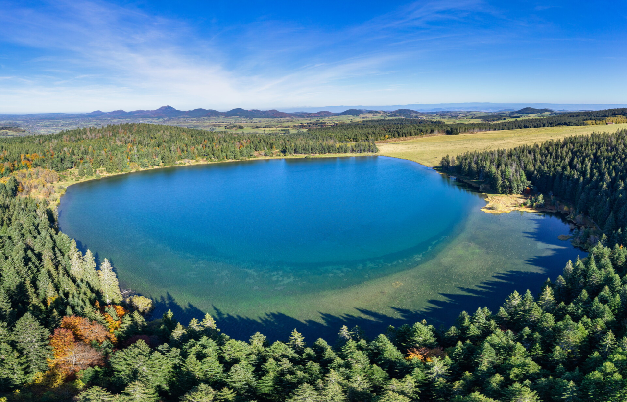
The route continues on to two emblematic lakes formed by volcanic activity : Lac de Servières, an ancient high-altitude maar surrounded by forests, and Lac de Guéry, the highest natural lake in the Auvergne. Bordered by spectacular basalt columns, it marks the entrance to the mountain world of the Monts Dore and offers a unique backdrop for hikers.
Nearby, the spa town of Le Mont-Dore, nestling in the hollow of the Sancy, reveals its Belle Époque atmosphere and bears witness to the richness of the region's volcanic waters.
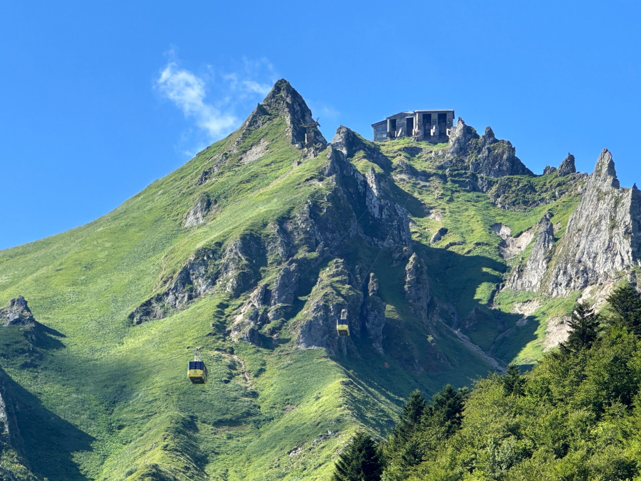
Climbing the puy de Sancy : at the summit of the Massif Central, between glacial valleys and alpine ridges
Next up is the ascent of the Puy de Sancy, the highest peak in the Massif Central at 1,885 metres. Here, the mountain takes on an almost Alpine character, with glacial valleys, waterfalls and sharp ridges punctuating the progression.
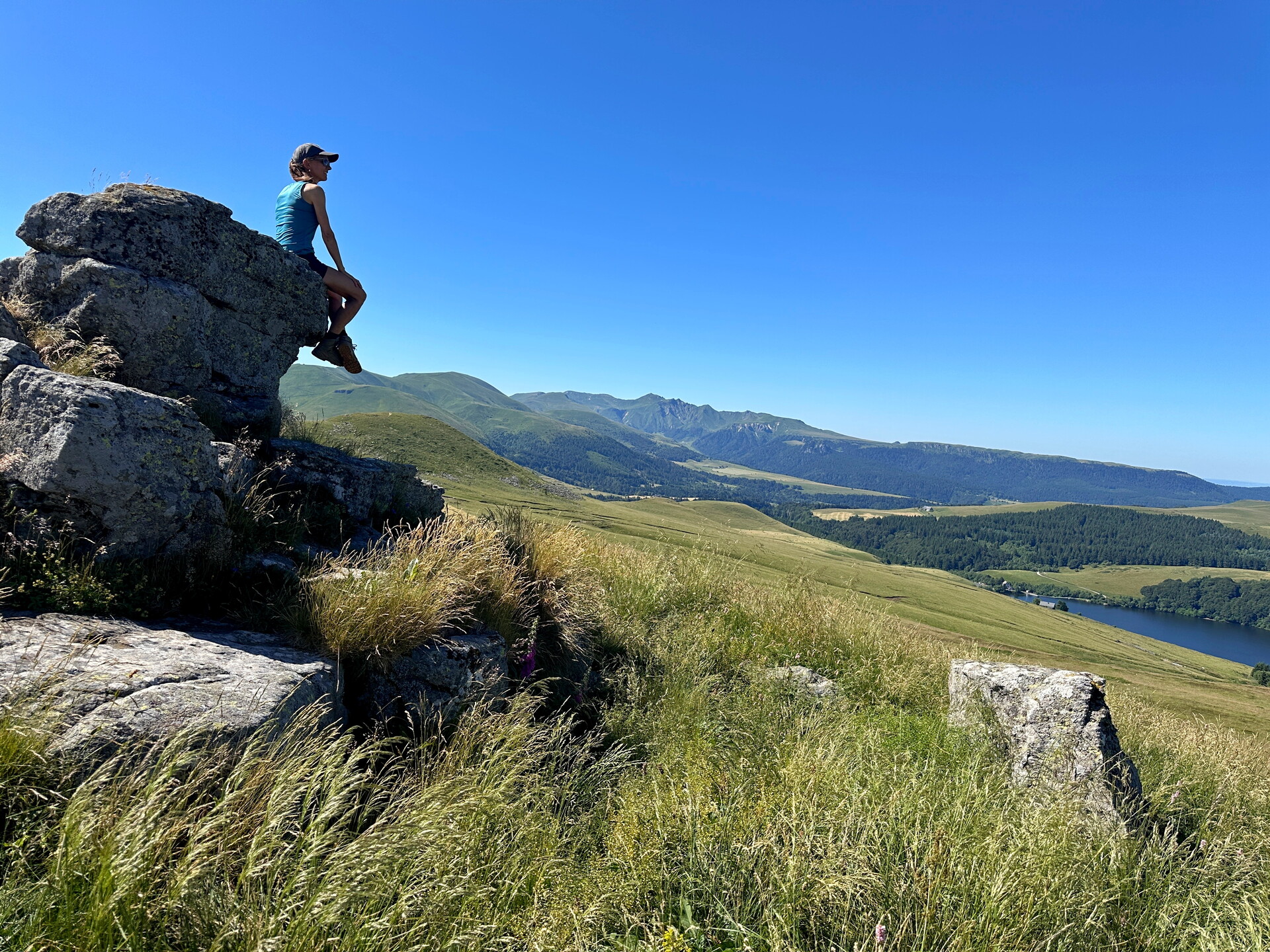
From the Cézallier to Puy Mary : a hike across a plateau of summer pastures, towards the Cantal volcanoes
The panorama opens out onto the Cézallier, a vast plateau of mountain pastures nicknamed "Auvergne's little Mongolia", a landscape of wide open spaces where burons and herds punctuate the walk.
Further south, the GTVA crosses the Artense, a granite landscape dotted with lakes and peat bogs, before reaching Puy Mary, an iconic volcano with star-shaped valleys. To extend the experience, some walkers add the ascent of Plomb du Cantal, the summit of Europe's largest stratovolcano, before finishing in Murat, which has been awarded the "Petite Cité de Caractère" label.
Topographical map on sale at : ffrandonnee.fr

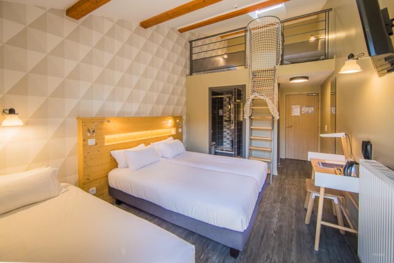
Accommodation for walkers
To accompany your adventure, an accommodation booklet has been designed with addresses located close to the trail (less than 2 km). These places can accommodate hikers for the night, in a spirit of comfort and conviviality.
For more information, click here : La grande traversée des volcans d'Auvergne (GTVA) - Puy-de-Dôme