![]()
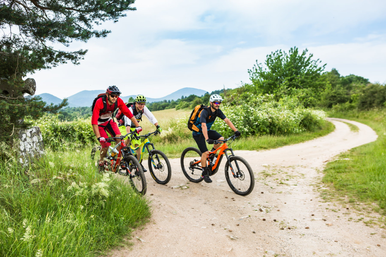
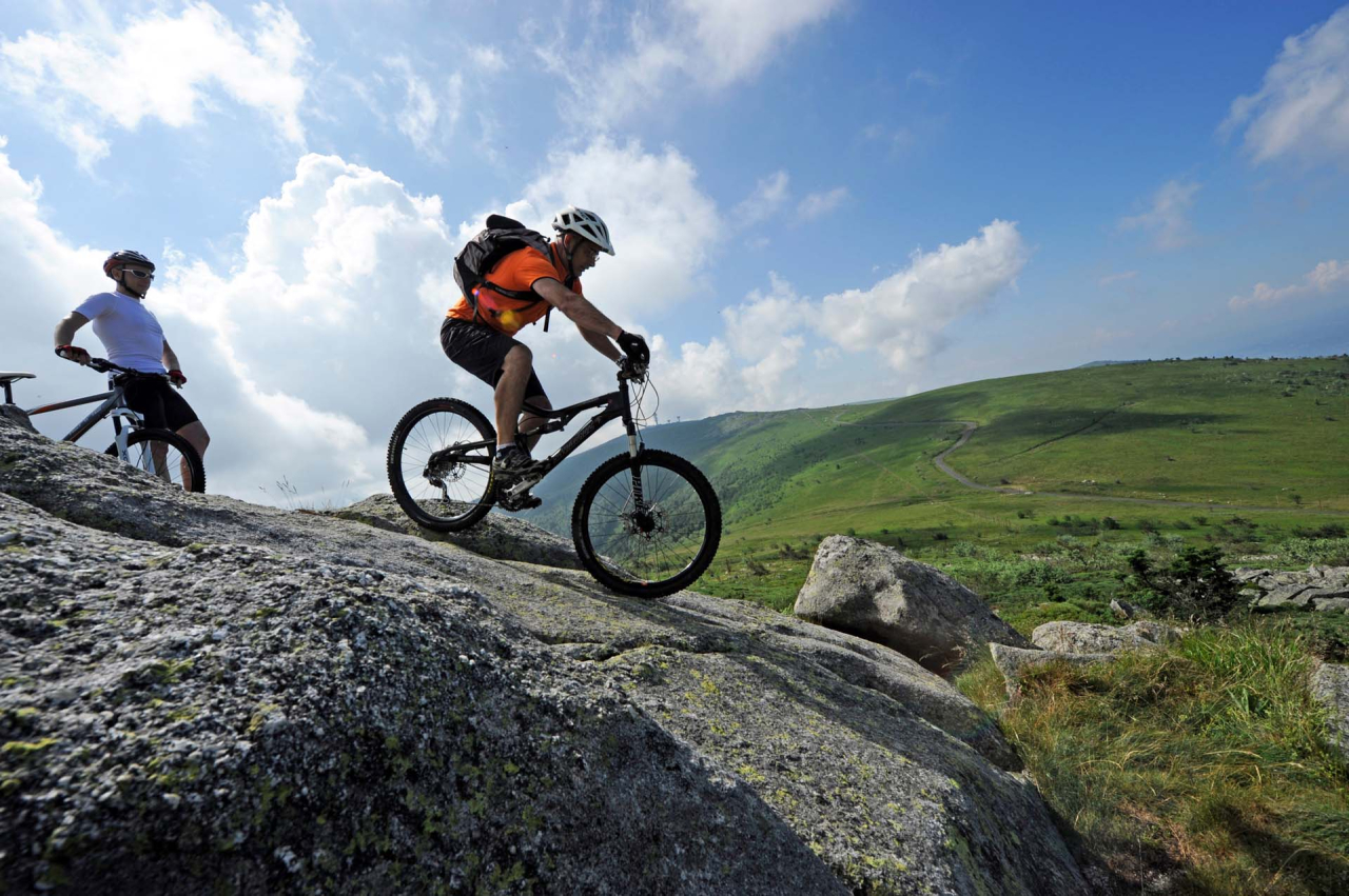
N°9 - Les balcons de la Dore
Distance 18Km
Altitude 280m
Difficulty hard
Courpière
![]()
Discover the Massif des Bois Noirs, an ideal playground for mountain bikers. Its varied trails and breathtaking panoramas promise an unforgettable experience.
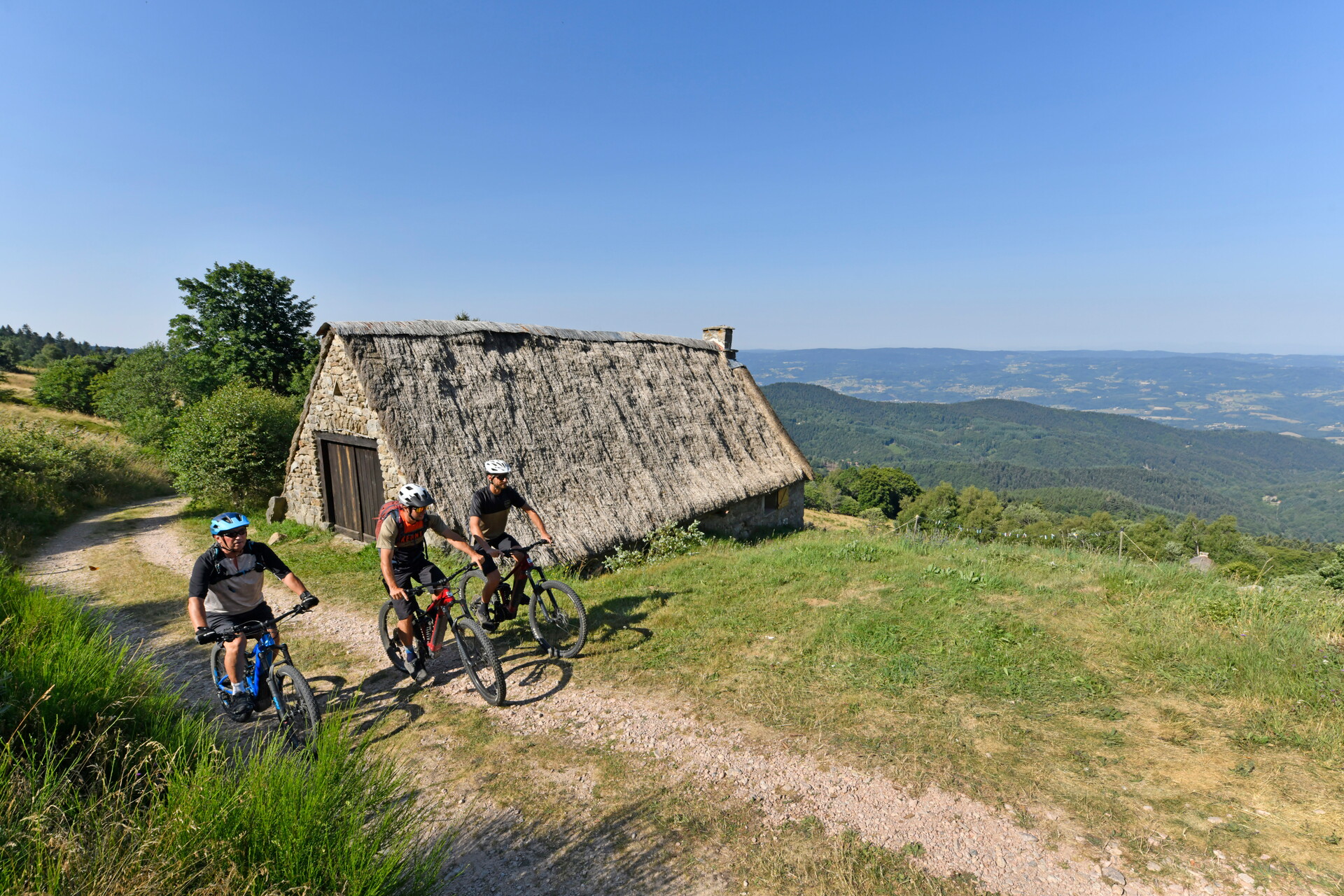
Take to the trails of the Livradois-Forez Regional Nature Park, where unspoilt nature meets cultural heritage. Ideal for total immersion in the great outdoors.

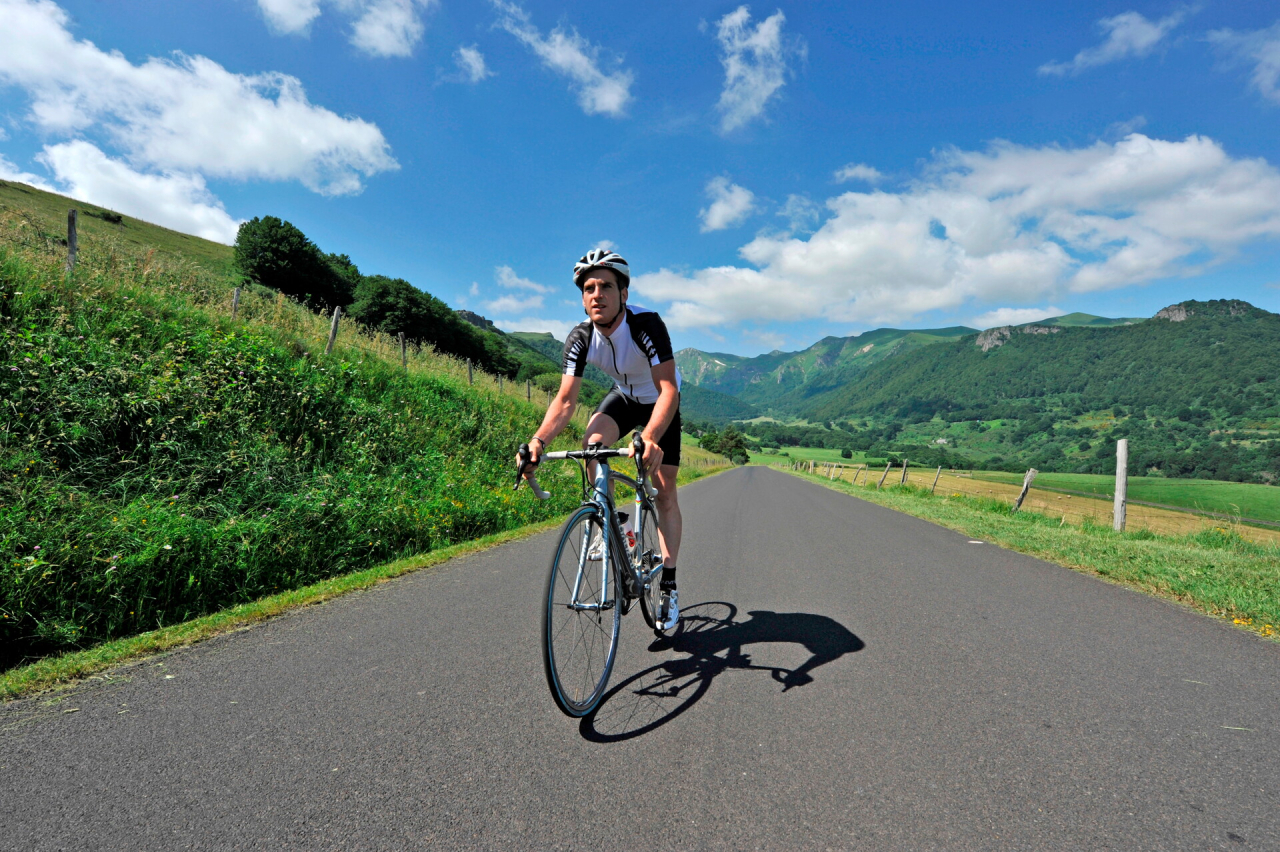
Take to the slopes of the Montagne Bourbonnaise. This mountainous area offers exciting challenges and exceptional panoramic views.
Explore the Côte Roannaise and its wine-growing landscapes. Cycle between vineyards and valleys, discovering a rich terroir and picturesque routes.
Take advantage of the diversity of Destination Grand'R's routes. Each route is designed to offer a unique experience, suited to all levels of ability.
89 results