![]()
The Louchadière puy
Saint-Ours
 Dogs allowed
Distance 11.5Km
Duration 3h45
Hiking route BOUCLE
Marking Yellow
In pictures


Route description
At 1,198 m, the summit of the puy de Louchadière and its gleaming cone provide a playground for a wide variety of fauna. Beautiful views of the Puys chain and the puys of Sarcoui, Goules, Gouttes, Fraisse, Clerziou, Grand Suchet, puy de Dôme…
Trail highlights
– Vulcania and Volcan de Lemptégy nearby.
– Château Dauphin in Pontgibaud.
Guidebook with maps/step-by-step
Step 1 : Take the staircase next to the start sign and climb the path (at the top, view of the Louchadière, Chopine, Dôme and Côme puys) which, after 100 m, descends to a wide track. Follow this to the left and continue gently uphill for around 1 km. Reach a crossroads just before the end of the climb (on the left, departmental signs indicate that the round trip to the summit takes 1 hour).
Step 2 : Leave the track and turn left onto a grassy path which soon enters the beech forest. At the first intersection, turn left. Ignore the next two paths (one descending to the right, the other ascending to the left) and continue straight ahead through the beech forest, as far as the geodesic marker marking the summit (puy de Louchadière, alt. 1198 m). 20 m from this point, you’ll have a view of the Puys, the Sancy massif and the Combrailles.
Step 3 : Turn around and descend by the same route as the ascent. Back on the trail (PC 1), turn left (view of the Puys de Jume, Coquille, Chopine and Dôme) and continue for 300 m to a trail junction.
Step 4 : Turn left (“Chuchoter”, a land art sculpture) and walk out into the open, then into the forest. At the second fork in the path (where two yellow trails split), fork left into the coniferous forest. When you come to a wider path, follow it to the right for a hundred metres. Turn left into the beech forest, then immediately right. After approx. 100 m, leave the path and take a right down to a wide ashy track. Follow this to the left until you reach the main road.
Next step
Step 5 : Drive along it on the left for 200 m (caution, dangerous traffic), turn left to reach the old quarry, cross it to reach a track. Turn left and stay on this main path alongside a reforestation plantation. Enter the forest. At the fork in the road, fork right and continue until you reach the forest exit.
Step 6 : Turn left onto a grassy path which, after skirting the edge of the wood for 100 m, bends right and joins a farm track. Follow this to the right as far as the road (D576). Turn left to return to the starting point.
Proposed and managed by the Conseil départemental du Puy-de-Dôme – PDIPR.
/* col-6_sm-12 */ ?>
Opening hours
From 01/01 to 31/12 daily.
Subject to favorable weather.
Comfort, facilities and services
- Car park
- Pets welcome
Additional information
For your own safety, always take a bottle of water, a hat, warm clothing and footwear suitable for walking.
Depending on weather conditions, certain itineraries are not recommended in bad weather (fog) or are not practicable, or even forbidden, during the winter season.
Some sites are fragile, so stay on the marked trails. Avoid picking wild flowers and disturbing wildlife. Pick up your garbage.
Animals are not allowed on some routes.
Dogs allowed Dogs must be kept on a leash due to the presence of herds.
Environment
Forest location, Mountain location, Presence of livestock and guard dogs
Access
On the D943 between St-Ours-les-Roches and Volvic, 400m east of the Vauriat level crossing, take the D576 (direction Beauregard) for 900 m to a parking lot where you’ll see the start sign.
Downloadable :
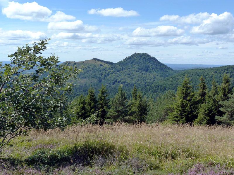
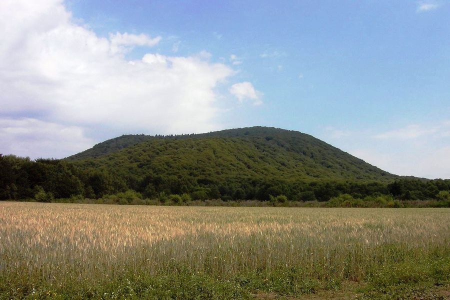
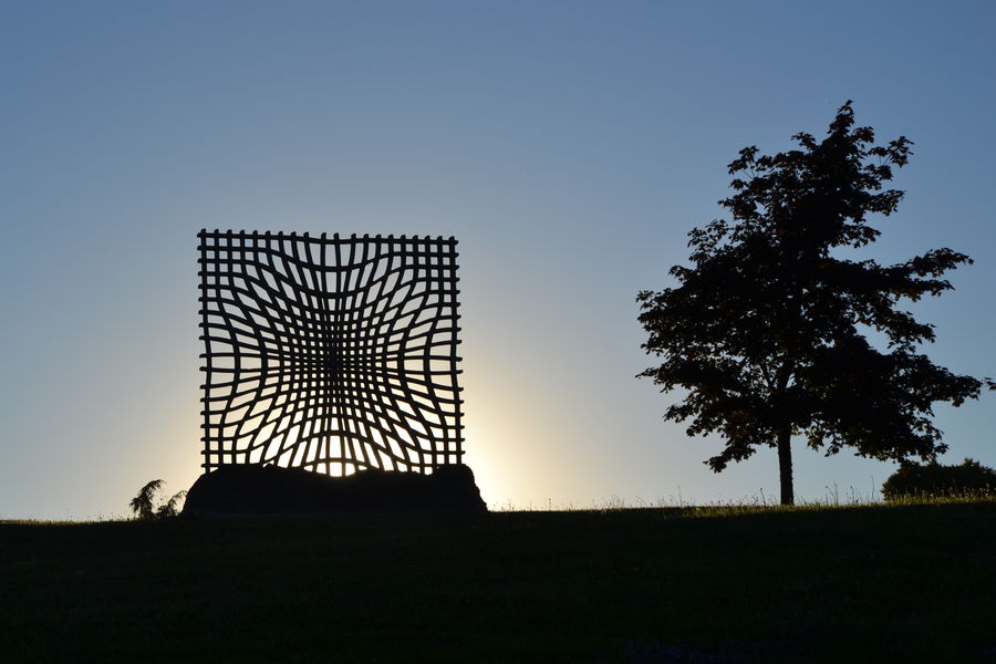
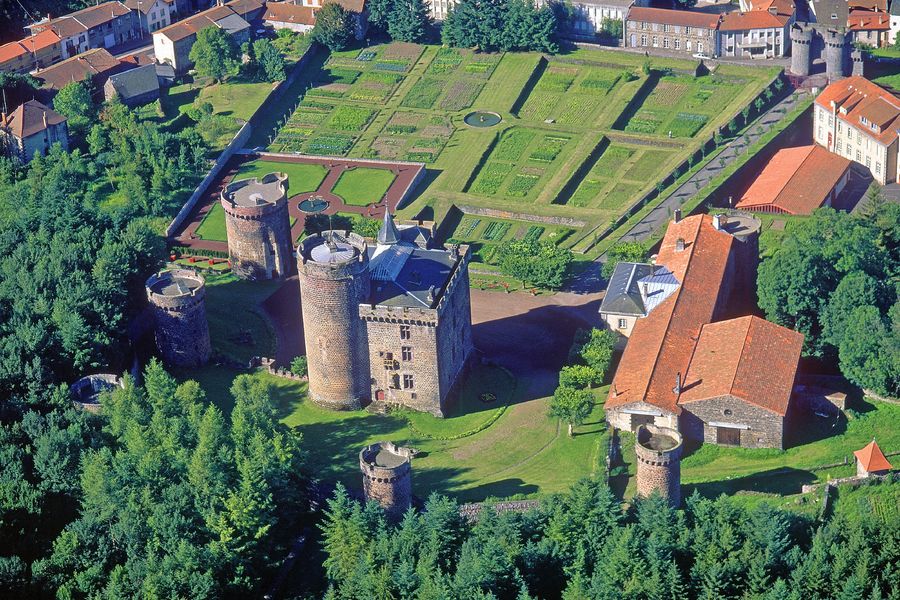
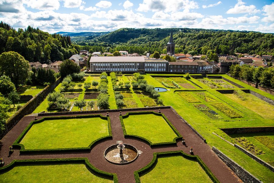
Photo credits : Gegeours (Travail personnel) [CC BY-SA 3.0 (https ://creativecommons.org/licenses/by-sa/3.0)], via Wikimedia Commons, Serlito (Own work) [CC BY-SA 3.0 (https ://creativecommons.org/licenses/by-sa/3.0)], via Wikimedia Commons, OpenStreetMap / Conseil départemental du Puy-de-Dôme