
The Jumes, Coquille and Gouttes puys
Saint-Ours
 Dogs allowed
Distance 15.5Km
Duration 5h00
Hiking route BOUCLE
Marking Green
In pictures
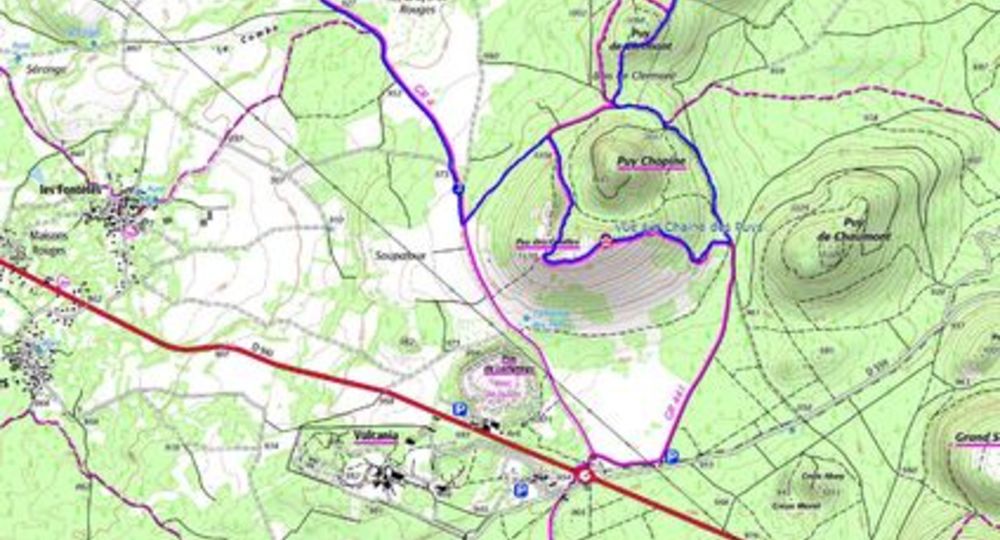
Route description
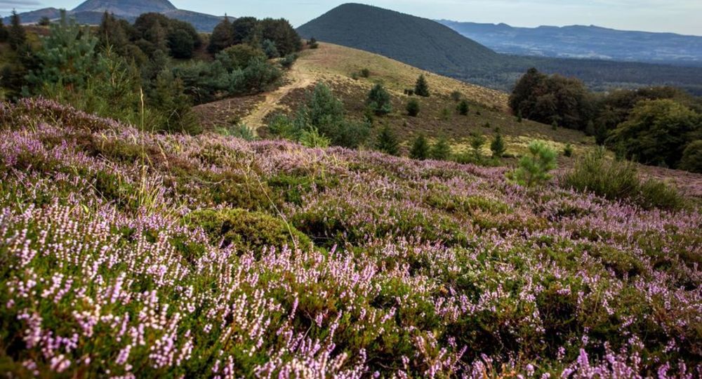
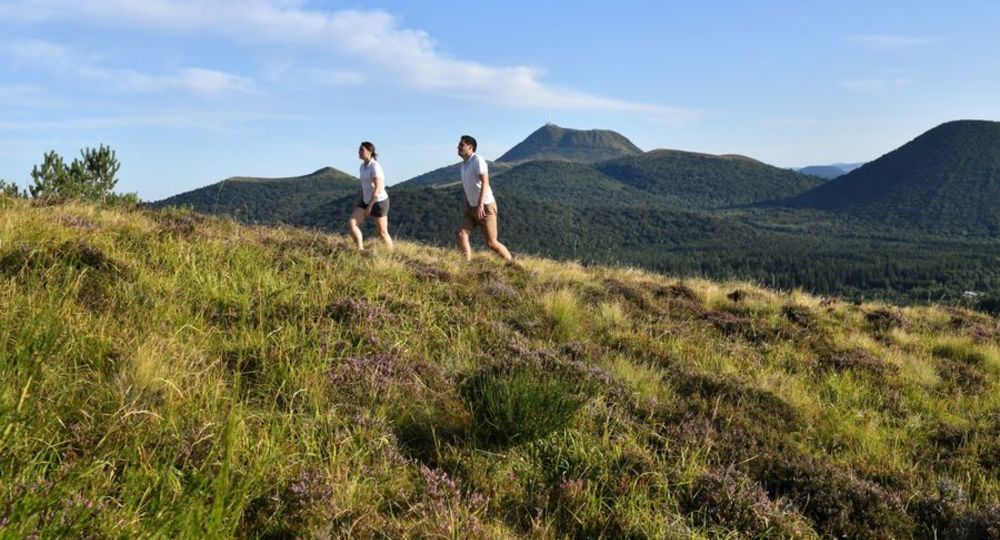
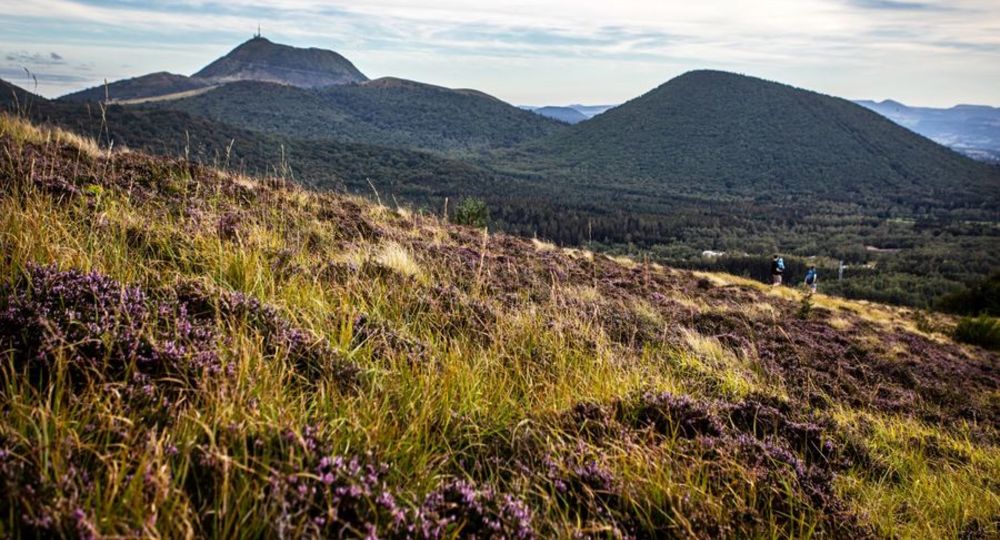
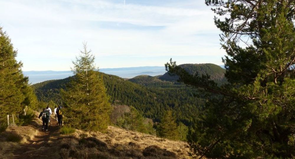
The puys de Jumes and de la Coquille are strombolian volcanoes sculpted by a fluid lava flow. Much of the route passes through woods and forests, giving you the chance to observe the line of volcanoes so characteristic of the Chaîne des Puys.
Trail highlights
– Beauregard : cross, wash-house, fountain, bread oven.
– Panoramic views from the Jumes and Coquille puys.
– Vulcania and Volcan de Lemptégy nearby.
– Château Dauphin in Pontgibaud.
Guidebook with maps/step-by-step
Step 1 : Take the wide track to the left of the road and follow it gently uphill (with a view of Puy de Louchadiere on the left) almost straight ahead for 1.4km until you reach a junction of 4 paths. Turn left (sculpture CHUT !) and continue on the main path, ignoring the side paths, until you reach a pass,
2/ Climb to the right on the path leading up to the puy de Jumes. At the lip of the crater, continue uphill to the left, then onto the flat (view of puy de Louchadière). At the intersection, turn right to reach the summit of puy de Jumes (5 min.) (view of the northern part of the Chaine des Puys and the Sancy massif). Turn left down the stairs. Climb puy de la Coquille (view of the Chaine des Puys). Continue along the crater rim until you reach the stairs. Turn right on the AR (5 min.) to the summit of puy de la Coquille (view of Puy de Dôme, Sancy and Livradois). Turn left down the stairs into the forest to a T-junction.
Step 3 : Turn left for 30 m, climb Puy de Clermont and descend to a T-junction. Climb left for 30 m, then take the left-hand track. After a flat spot, descend 700m to the base of Puy Chopine, ignoring the side paths until you reach the Puy des Gouttes signpost. Cross the stepladder to the right and climb uphill into the beech forest. The path veers left, then climbs right to reach a fence. Follow the fence to the summit (view of the Chaine des Puys and the Sancy massif), then turn away and follow the lip of the volcano to a small wooden fence. Turn right and descend left into the crater. Pass a stepladder and join a cross-cutting path. Descend to the left for 500 m and take the first path to the right as far as a fork.
Step 4 : Go left as far as a fork. Take the track on the right and follow it for 2 km, ignoring the side paths as far as Beauregard. Descend to the left. Pass the wash-house and turn right. Continue on a track. At the crossroads, turn right and take the first track on the right. At the road, turn left to reach the parking lot.
Proposed and managed by the Conseil départemental du Puy-de-Dôme – PDIPR.
Opening hours
From 01/01 to 31/12 daily.
Subject to favorable weather.
Comfort, facilities and services
- Pets welcome
Additional information
For your own safety, always take a bottle of water, a hat, warm clothing and footwear suitable for walking.
Depending on weather conditions, certain itineraries are not recommended in bad weather (fog) or are not practicable, or even forbidden, during the winter season.
Some sites are fragile, so stay on the marked trails. Avoid picking wild flowers and disturbing wildlife. Pick up your garbage.
Animals are not allowed on some routes.
Dogs allowed Dogs must be kept on a leash due to the presence of herds.
Environment
Mountain view, Mountain location, Presence of livestock and guard dogs
Access
On the D943 between Saint-Ours-les-Roches (23 km north-west of Clermont-Ferrand) and Volvic, 400 m east of the Vauriat level crossing, take the D576 (direction : Beauregard) for 900 m to a parking lot, where you’ll find the starting signs for several circuits.
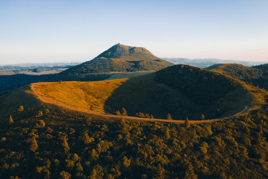
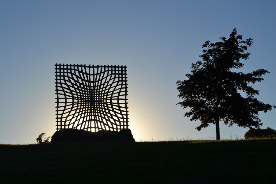
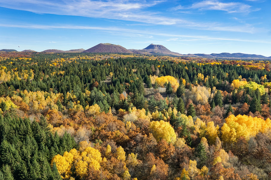
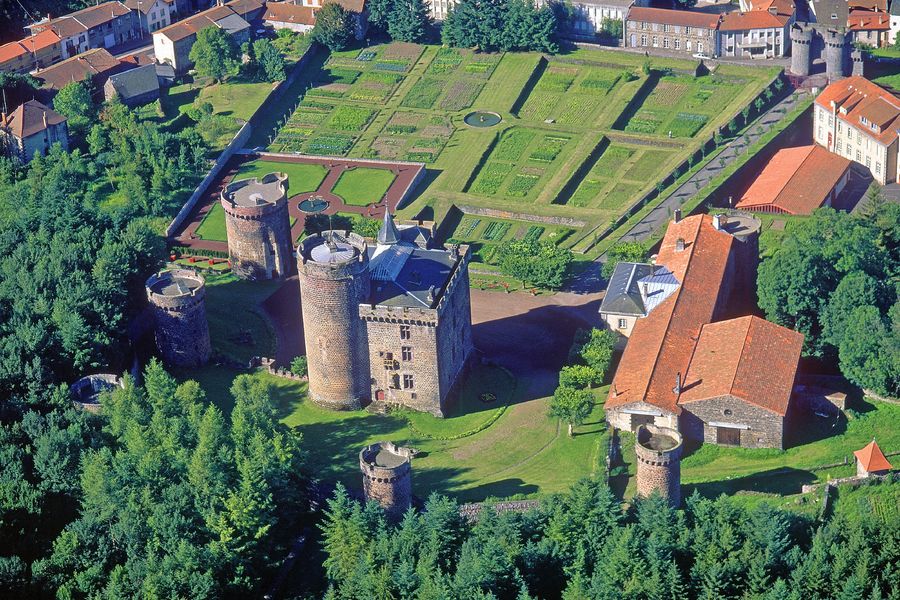
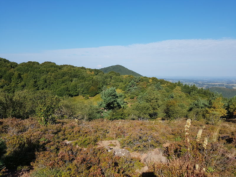
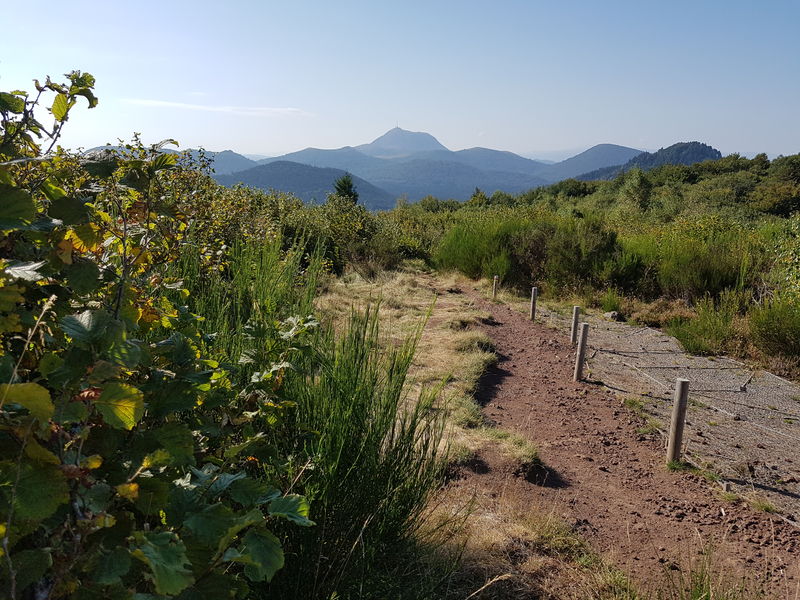
Photo credits : CD63/David Frobert, CD63/Joël Damase, CD63/David Frobert, CD63 / C.Bachelerie, Conseil départemental du Puy-de-Dôme/ Balirando
 Updated on 29 May 2026 by Conseil départemental du Puy-de-Dôme