![]()
Redon
Ceyrat
 Dogs allowed
Distance 9.5Km
Duration 2h45
Hiking route BOUCLE
Marking Yellow
In pictures
Route description
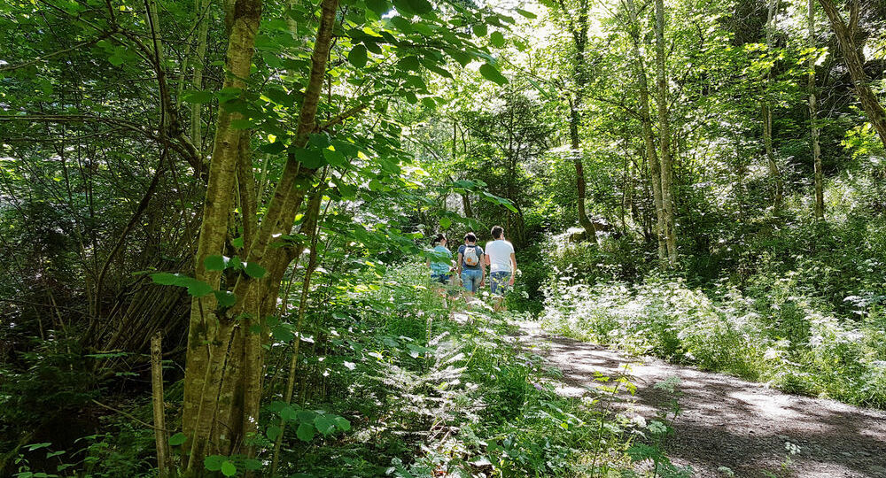
We follow the Redon stream, which has cut through the Ceyrat gorges on the Limagne, then climb up through beech, chestnut and oak trees to suddenly enjoy views of Montrognon, the Gergovie plateau and the Puy-de-Dôme.
Trail highlights
– Property of INRA.
Guidebook with maps/step-by-step
Step 1 : Take the gorge path to the clearing.
Step 2 : Turn left and continue up the winding road, ignoring the paths to the right and left. On the plateau, continue straight ahead as far as Redon-haut.
Step 3 : Go through the hamlet. At the exit, turn left (shortcut possible) and continue on a good track. At the intersection with a housing estate, turn left onto rue de la Moulhère. Continue along the same road. When you reach the small tarmac road, turn left towards Redon-bas as far as the wooden shed.
Step 4 : Turn right immediately and cross the INRA property. At the “patte d’oie” (crow’s-foot), turn right onto the gently descending path. At the iron cross, go left to a playground.
Next step
Step 5 : Take the left-hand path. Near the road, take the left-hand path. Continue along this path until you reach the junction with the old RN89, which you take on the left to return to the parking lot.
Proposed and managed by the Conseil départemental du Puy-de-Dôme – PDIPR.
/* col-6_sm-12 */ ?>
Opening hours
From 01/01 to 31/12 daily.
Subject to favorable weather.
Comfort, facilities and services
- Pets welcome
Additional information
For your own safety, always take a bottle of water, a hat, warm clothing and footwear suitable for walking.
Depending on weather conditions, certain itineraries are not recommended in bad weather (fog) or are not practicable, or even forbidden, during the winter season.
Some sites are fragile, so stay on the marked trails. Avoid picking wild flowers and disturbing wildlife. Pick up your garbage.
Animals are not allowed on some routes.
Dogs allowed All dogs must be kept on leashes because of the presence of herds.
Environment
In the country, Forest location, Close to a public transportation, Presence of livestock and guard dogs
Access
From Clermont-Ferrand, join Ceyrat. Drive through the village towards Saulzet-le-chaud. Parking des gorges just after the bridge over the Artière.
Access by bus : line 4, “Robinson” stop.
Downloadable :
You might also like…
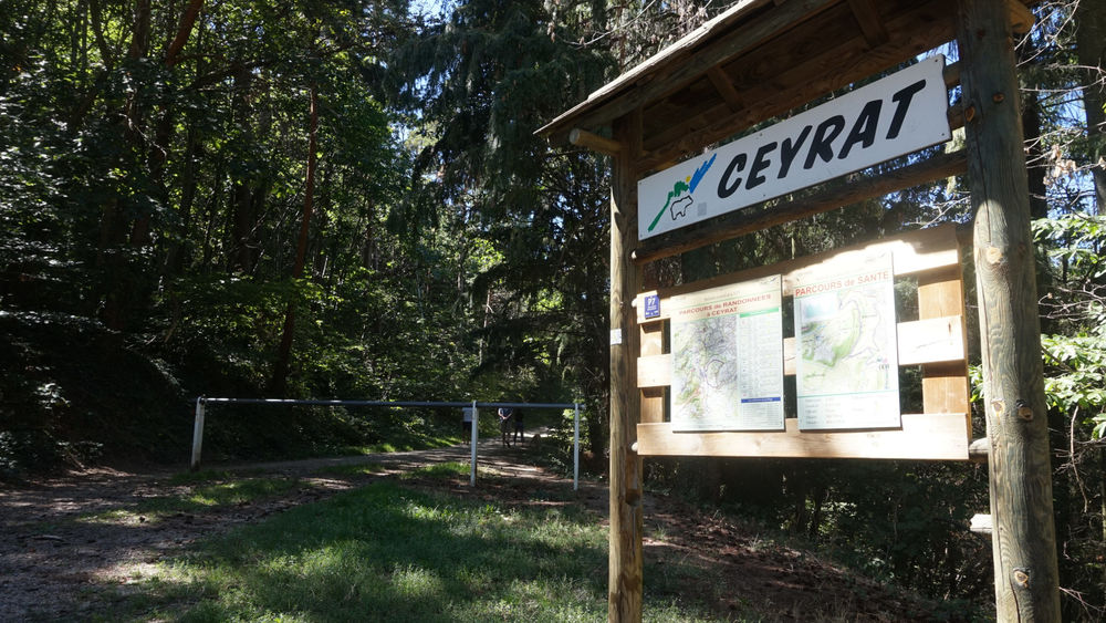
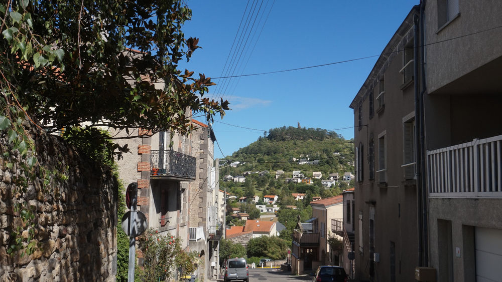
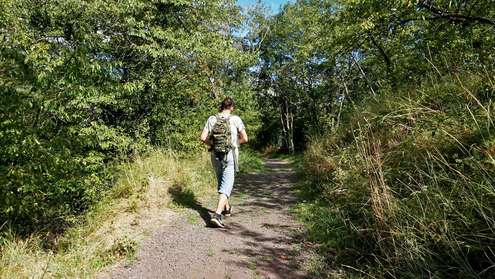
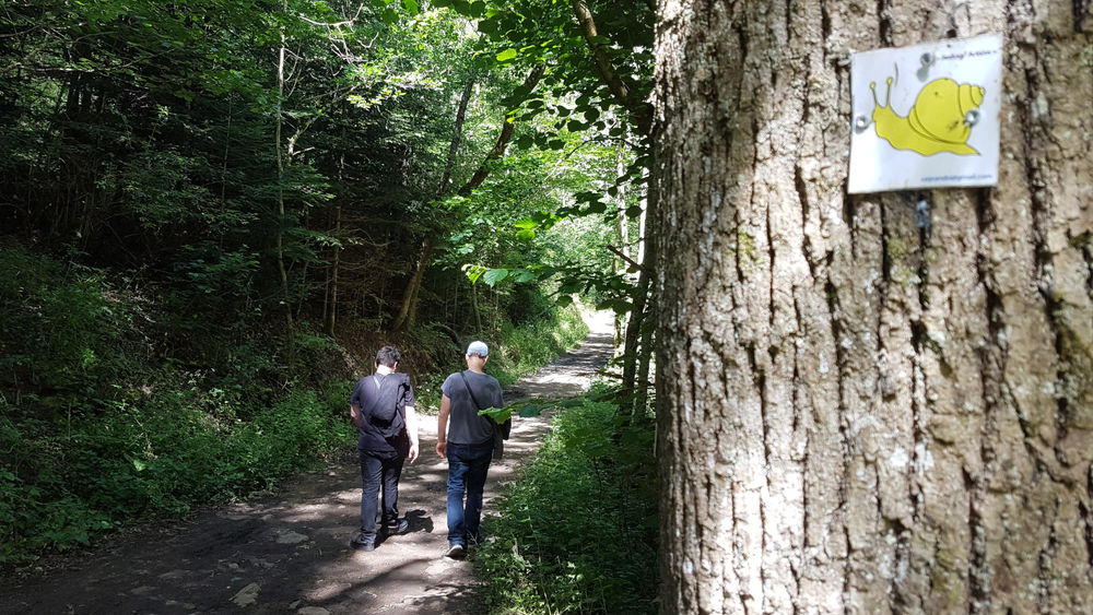
Photo credits : ESM-CAT