![]()
The two villages
Ceyrat
 No dogs allowed
Distance 9.2Km
Duration 3h00
Hiking route BOUCLE
Marking Yellow squirrel
In pictures

Route description
This tour takes in the two villages in the commune. First Boisséjour, then Ceyrat, via a forest path on the mountainside.
Trail highlights
Follow the tour with ease, thanks to the Mikhes app, which guides you step by step.
Download the app at the bottom of the page and start your tour.
Guidebook with maps/step-by-step
Step 13 : – Turn left to marker 12 on the forest path leading to the fitness trail.
– Turn left, cross the Artière river and continue along this forest path to marker 15 on the left, 2 km ahead, ignoring other paths to the right or left.
– At this point, leave the Parcours de Santé and take a gullied path downhill to the left. You arrive at the top of Ceyrat, on a tarmac track which you follow to the right.
(You can shorten the circuit by taking the left-hand variant that leads directly to the campsite).
– The path narrows, and you leave it for another to the left in a cleared area.
– We pass what remains of the oratory of ND de Belou ; we go straight ahead to reach the Berzet road, marker 16.
– From this point on, you’ll be walking through the old town of Ceyrat.
– Turn right onto Avenue de la Chataigneraie. Further down, turn left into the small Rue de Berzet, which leads to Avenue Wilson, Ceyrat’s main shopping street. Cross the road and head down rue de la Varenne ; you’ll see Montrognon in front of you, the Ceyrat church on the left and the presbytery garden, then the Saint Martin fountain and, at the bottom, the oratory of Notre Dame de la Délivrance. We discover the narrow streets of the old village and the winegrowers’ houses, characterized by the vat room on the first floor, with its large arched doorway, and the dwelling above, accessible by a staircase. Cross Rue du Onze Novembre and turn down Rue Coquelut, between the village and the gardens. Turn left into rue du Levant (note the beautiful window evoking a sunrise), which takes you up to place de l’Ancienne Mairie (fountain). Turn left, then left again into rue A. Mallet, then right on rue du Berger and right again on rue du Donjon. Return to rue du Onze Novembre, which you cross to take rue de l’Ile, which you leave immediately to take an alleyway to the right, passing under houses twice. Return to the Place de l’Ancienne Mairie, which we’ll follow in the opposite direction. At the end of the square, turn left into rue du Puits ; we cross a number of crossroads, including rue des Poilus on the left (so named because every family on this street was represented in the 14-18 war), and climb rue de la Poste to get back to avenue Wilson. We’re out of the maze of the old town. Take the crosswalk to the opposite sidewalk, as far as the red Mairie building. At the traffic lights, turn left into avenue JB Marrou (route de Royat) and immediately cross to the opposite sidewalk, to turn right into rue Chantemerle. At the end of the road, you reach the Chemin du Roudadoux ; after a chicane, you quickly turn left onto the Chemin du Departure, which runs alongside the campsite until you reach the parking lot.
/* col-6_sm-12 */ ?>
Opening hours
All year round daily.
Environment
Forest location, Village centre
Downloadable :
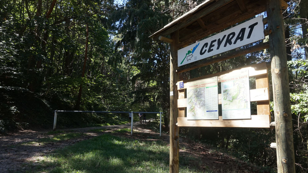
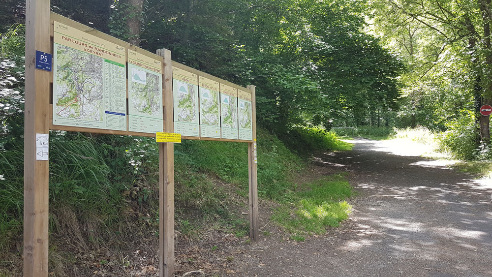
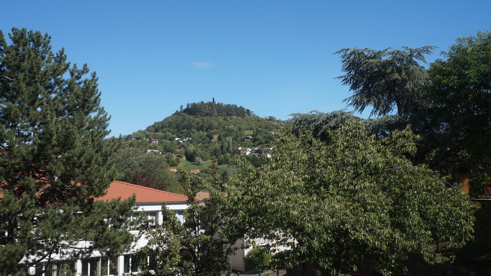
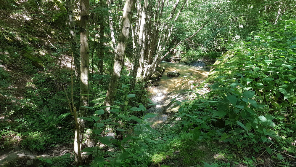
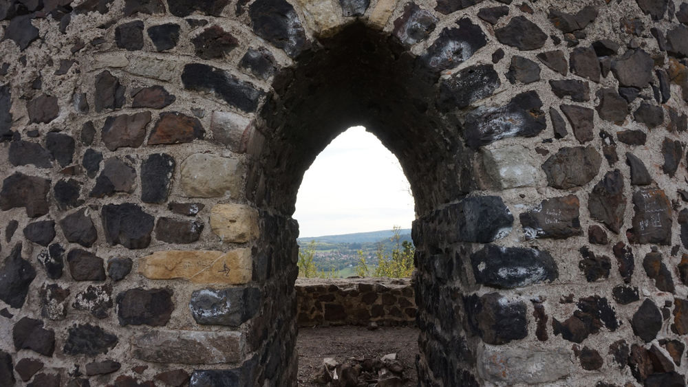
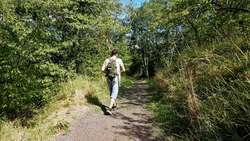
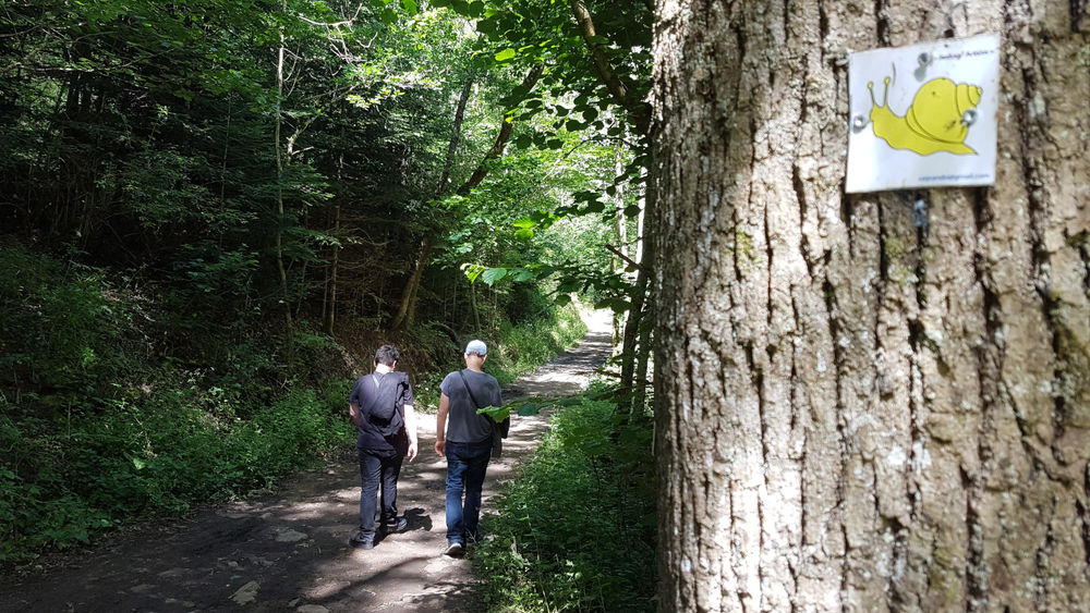
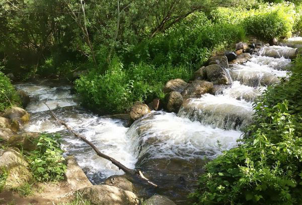
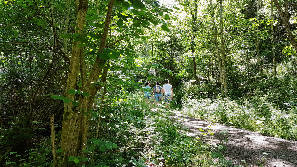
Photo credits : ESM-CAT