![]()
Montaudoux-Vallières
Ceyrat
 No dogs allowed
Distance 6Km
Duration 2h00
Hiking route BOUCLE
Marking Yellow butterfly
In pictures

Route description
After climbing Montaudoux (which doesn’t deserve its name !) and its wide panorama, you descend to the border between Beaumont and Clermont-Ferrand. You can then admire the great pozzolana rocks of La Chataigneraie.
Guidebook with maps/step-by-step
Step 22 : Take the left-hand path up to Montaudoux.
(Variation without the climb : go down to the right ; you’ll come to a T-junction : go left to marker 23, then right, you’re back on the main route).
Leave a path to the right ; the slope is steeper. At the top, a fine view of Clermont and Limagne.
At the summit, turn right for the descent ; after 150m, you’ll reach the base of the puy. At the crossroads, take a path to the right as far as marker 23.
Turn left towards town (Chemin then Rue du Guéry). At the crossroads, turn right onto the little-used Rue Aristide Briand. Go downhill with villas on your right ; you’re on the border between Ceyrat (on your right) and Clermont-Ferrand. In the distance, view of the bell tower of the modern J.M. Vianney church in Beaumont.
Cross Rue Béliard and continue along Rue A. Briand ; at the next T-junction, turn right onto rue du Dr. Lepetit, which climbs ; after the bend, continue on tarmac, then on a gravel path. Go straight on until you reach a crossroads (there’s a ruin on the right), marker 24.
Continue straight ahead, on a small track leading to the Chataigners woods. You arrive in a lunar landscape of pozzolana, leaving a narrower path that rises to the right, continue towards the undergrowth, between rocks. Immediately afterwards, climb to the right, reaching a housing estate, and at the crossroads at the far end you’ll find signpost 25.
Take the upward path opposite, below the modern district of Boisvallon and at the foot of the puy de Gravenoire. Continue to marker 26.
Take the path on the right that follows a nurseryman’s fence, skirting other recent buildings. At the T junction, turn right (chemin de la Petite Mory), then left to marker 20.
You’ll find the path you took to the beehives on the left, leading back to the parking lot.
/* col-6_sm-12 */ ?>
Opening hours
All year round daily.
Environment
Forest location, Village centre, Less than 10 minutes from a bus stop on foot
Access
Gravenoire” stop – Bus line 4
Downloadable :
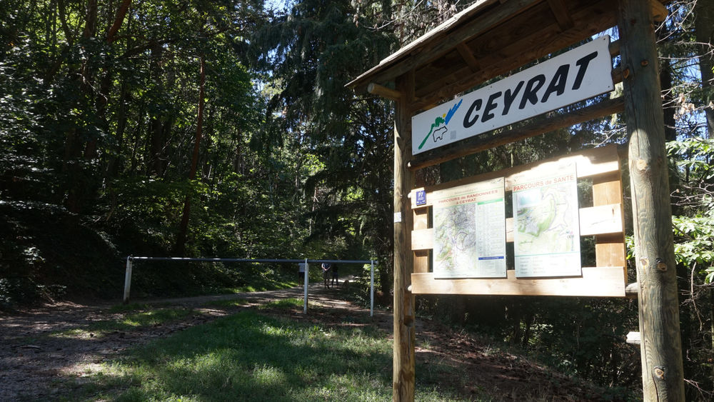
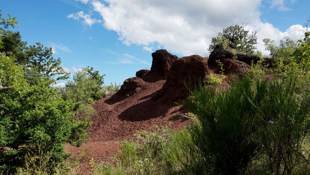
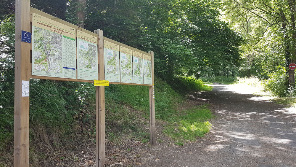
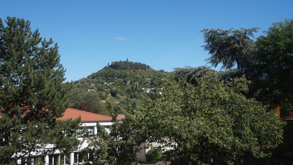
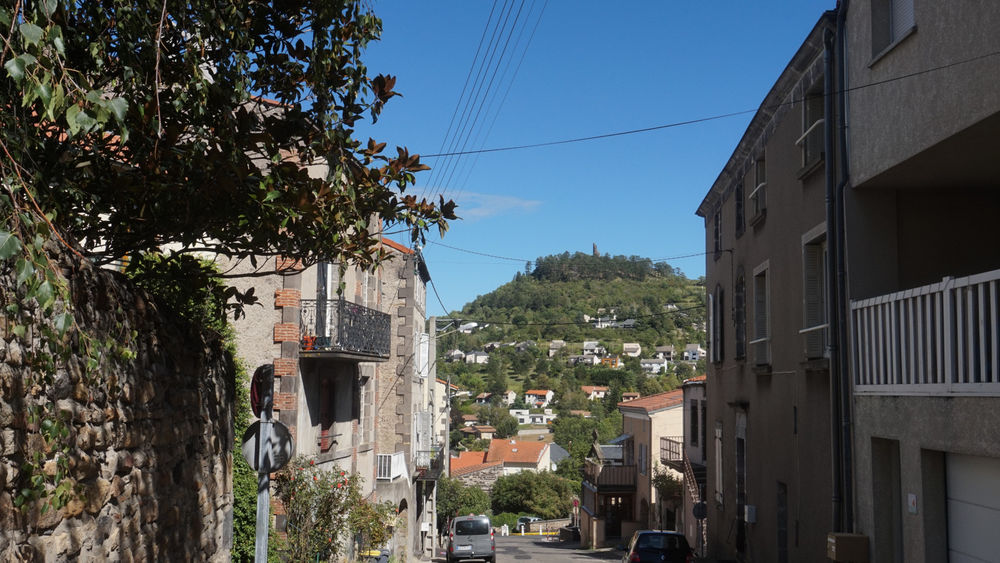
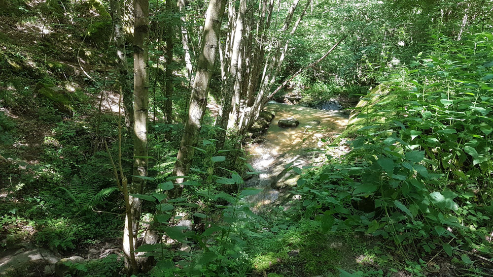
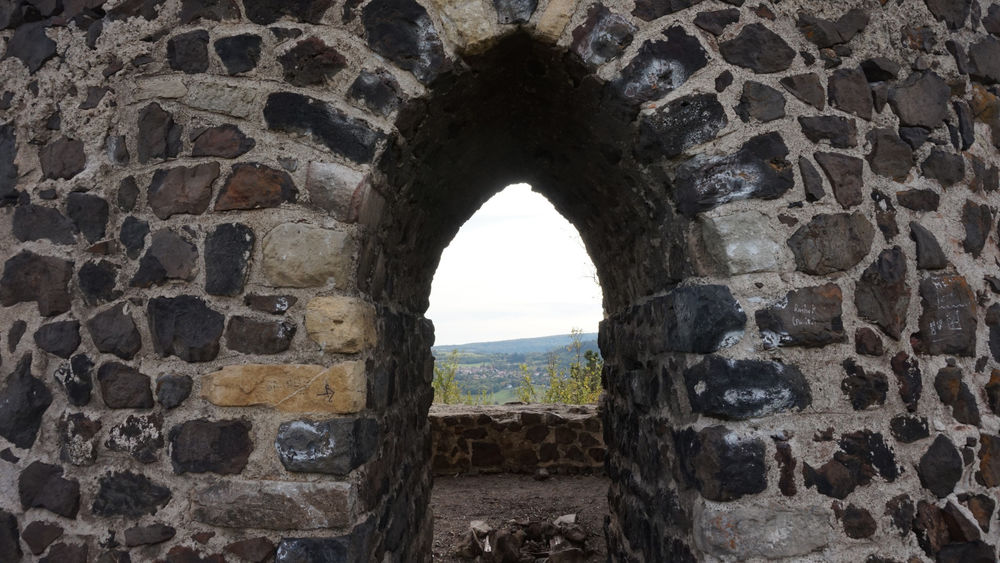
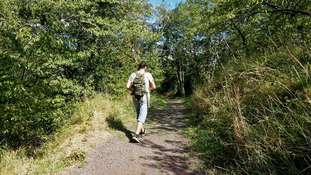
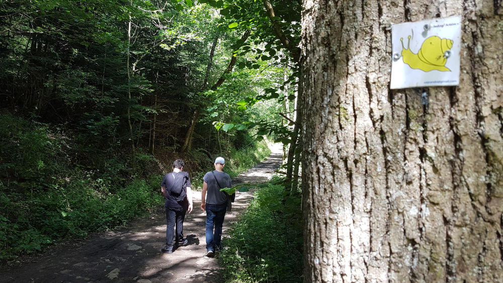
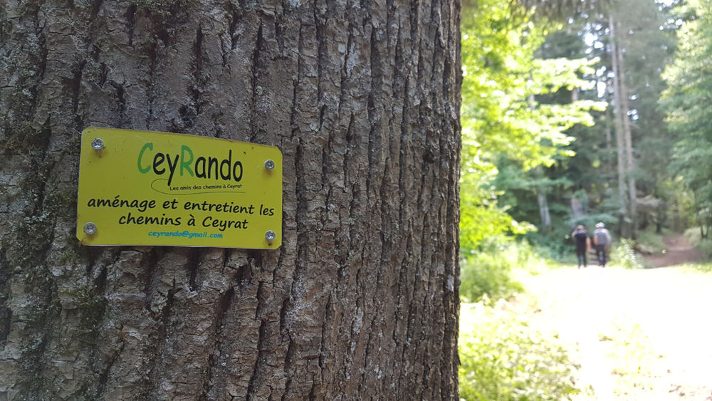
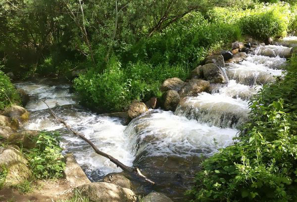
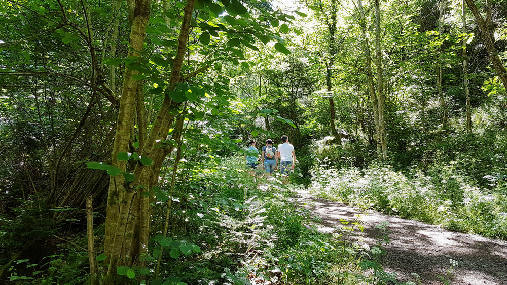
Photo credits : ESM-CAT