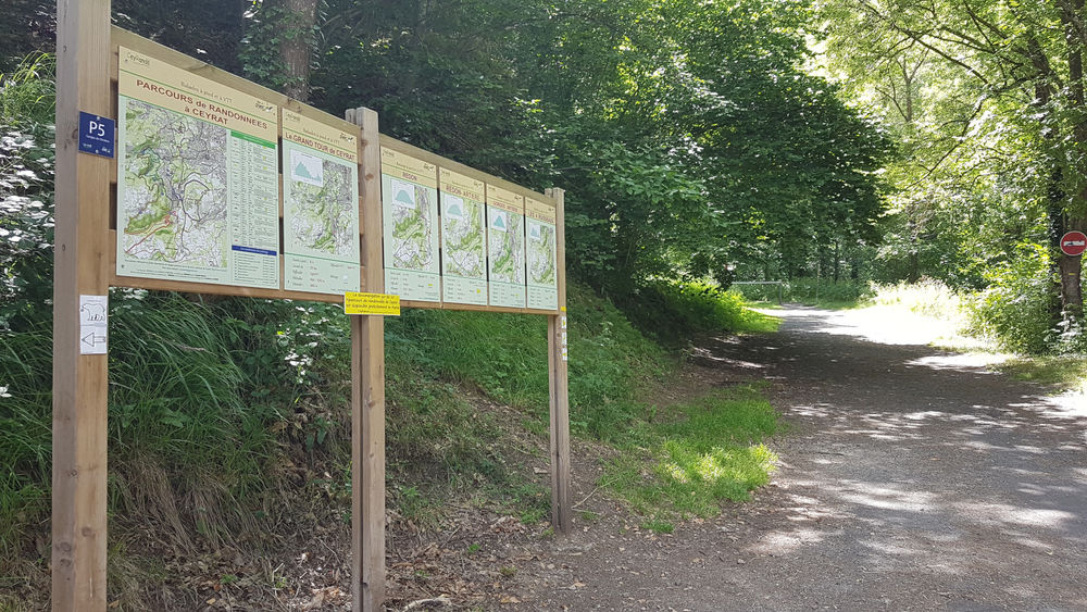
2 possible parking areas :
P7 : On route de Berzet (roadside or indoor parking, 400m along the route)
P8 : Route de Charade( roadside parking), opposite P7
3 routes
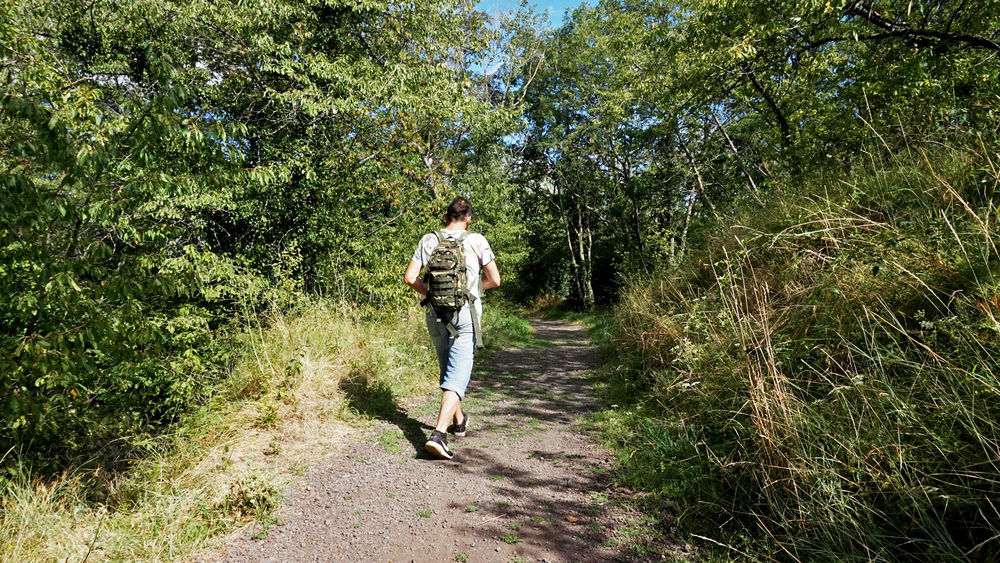
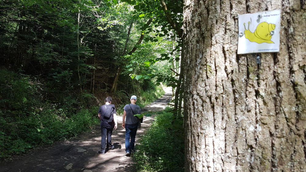
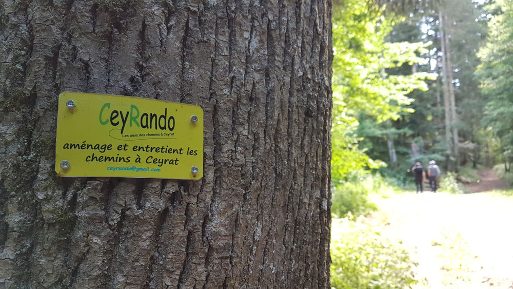
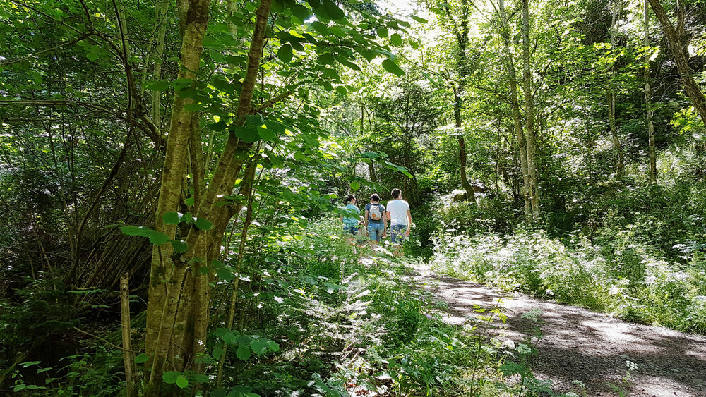
PS : 1 return trip along the forest path (pink-purple on map), easy family walk or jog.
PS1 : 1 outing on the forest(…)
2 possible parking areas :
P7 : On route de Berzet (roadside or indoor parking, 400m along the route)
P8 : Route de Charade( roadside parking), opposite P7
3 routes
PS : 1 return trip along the forest path (pink-purple on map), easy family walk or jog.
PS1 : 1 outing on the forest path, then down to Préguille and back up the path (Rose-Bleu on map) – more athletic.
PS2 : 1 outing on the forest path to Chemin de Bourgailloux, then down to Préguille and back up (Rose-Rouge on map) – sportier. Plans to completely re-equip these circuits with agrets.
PS : Located entirely on the forest path between the route de Berzet (P7) and the route de Charade (P8), there and back.
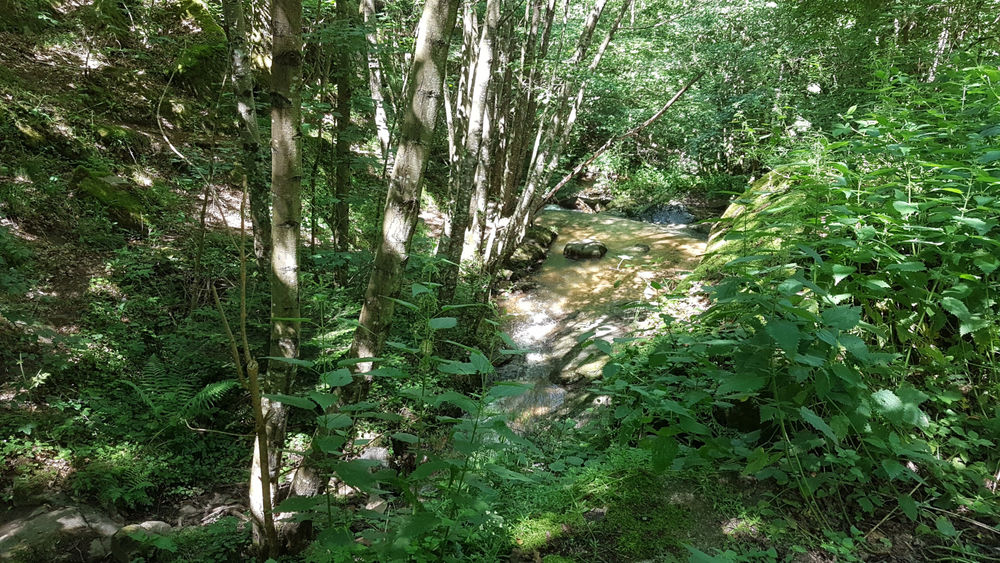
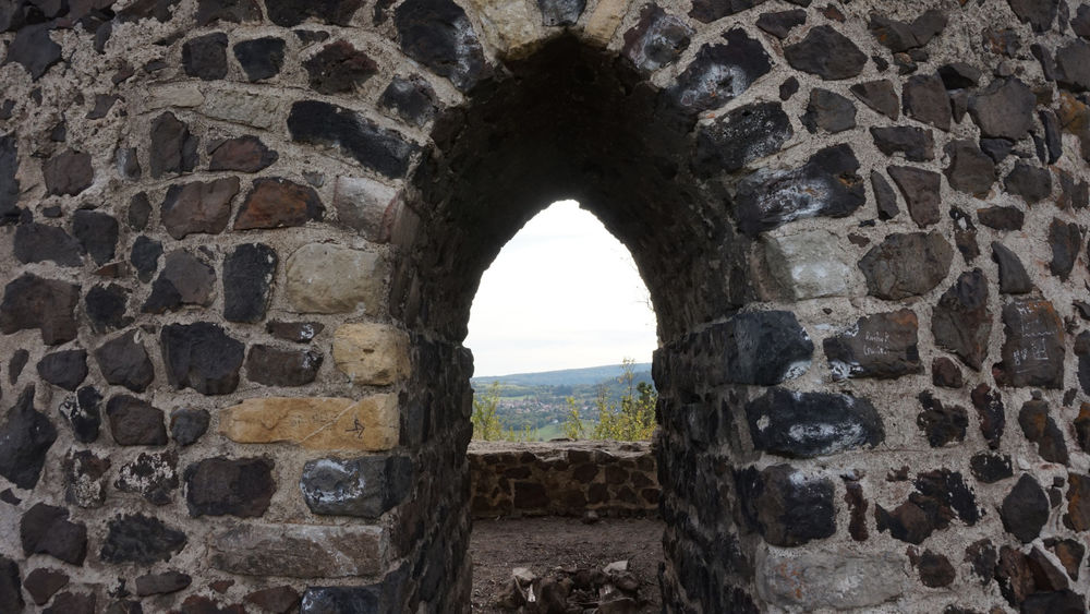
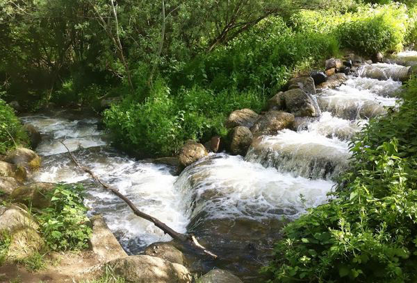
On this route you will cross 3 streams (ruisseau de la Croze, de Thèdes and Artière de Boisséjour). Between markers 19 and 18 (500m) you can access the Champeaux rock-climbing crag (very steep ascent) (off the circuit, special directional signposting).
PS1 : From parking lot P7- route de Berzet, follow the forest path to marker 17 (2.5 km on the right).
Follow the path down to the foot of some magnificent rocks (if you look up !). At marker 17a, take the left-hand path to Préguille. After going around the fence, you come to the Préguille path (the “Hameau de Préguille” housing estate is on your left). Take the right-hand path to the Préguille housing estate. As soon as you reach the asphalt, take the first cul-de-sac on the right, which leads to a track on the left. Climb steeply, leaving the track on the right as you go round the bend and continue left, then straight on. In the bend on the right, you’ll find an agret to hang from, and you’ll continue to marker 19, when you reach the allée Forestière.
Turn left for the Route de Berzet P7 parking lot or right for the Route de Charade P8 parking lot.
PS2 : From parking lot P7- route de Berzet, follow the allée forestière to marker 12, 3 km on the right.
Take the Chemin de Bourgailloux downhill on the right. At the start, you follow the Artière de Boisséjour river as far as the marker.
Turn right up the steps to reach the stream at the bottom of the wood. Follow the path alongside the stream (below the “Les Plaines” housing estate), until you come to a small road which you take to the right. 50 m further on, cross the bridge on the right (Ruisseau de l’Artière de Boisséjour) and go through the “Hameau de Préguille” housing estate to the Chemin de Préguille. Continue along this path until you reach the road. Take the first dead end on the right, which leads to a track on the left. Climb steeply, leaving the track on the right as you go round the bend and continue left, then straight on. In the right-hand bend, you’ll find an agret to hang from. Continue to marker 19, when you reach the allée Forestière. Turn left for the Route de Berzet P7 parking lot or right for the Route de Charade P8 parking lot.
 No dogs allowed