
The remains of Montrognon
Ceyrat
 No dogs allowed
Distance 7Km
Duration 2h00
Hiking route BOUCLE
Marking Rossignol
In pictures

Route description
From the center of Ceyrat, discover the Moulin de la Tranchère, the lake (restoration project underway) and the remains of the Montrognon tower. Return through the small gardens of Ceyrat’s old town.
Trail highlights
Access by bus (departure 1) Bus line E2, P32 stop “Ceyrat Mairie”, (departure 2) Bus line P31 stop “Arténium”.
We recommend that you follow the tour using the Mikhes application, which guides you step by step for a simplified discovery. Download the application at the bottom of the page and start your tour.
Guidebook with maps/step-by-step
Step 1 : For Bourg de Ceyrat, cross the bridge and turn left (Fontaine froide du Qué below). At the Rue de Gergovie sign, a marker (on the right) indicates the garden path that leads to Rue Coquelut. Turn right to the end, then return to the parking lot.
Back to P2 – To reach the Arténium parking lot, cross the 1st street on the right and at marker 36, go down a sunken path. Take the next right to Parc du Moulin, cross it and return to the parking lot.
/* col-6_sm-12 */ ?>
Opening hours
All year round daily.
Environment
Forest location, Village centre
Downloadable :
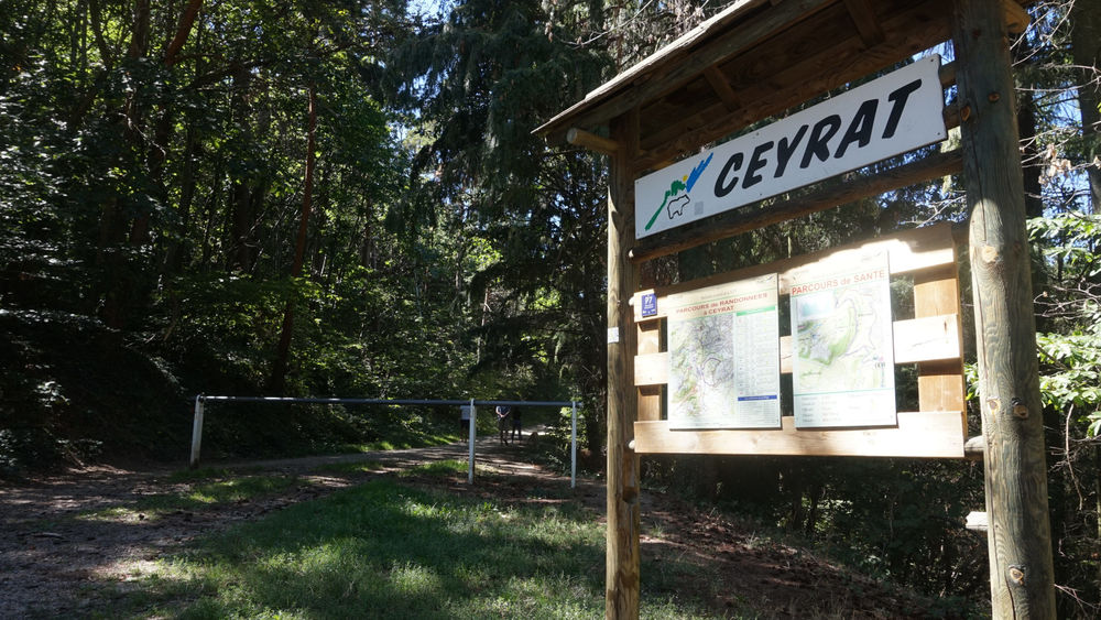
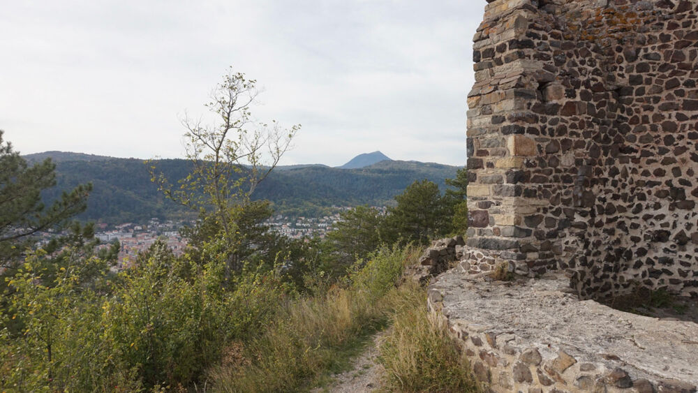
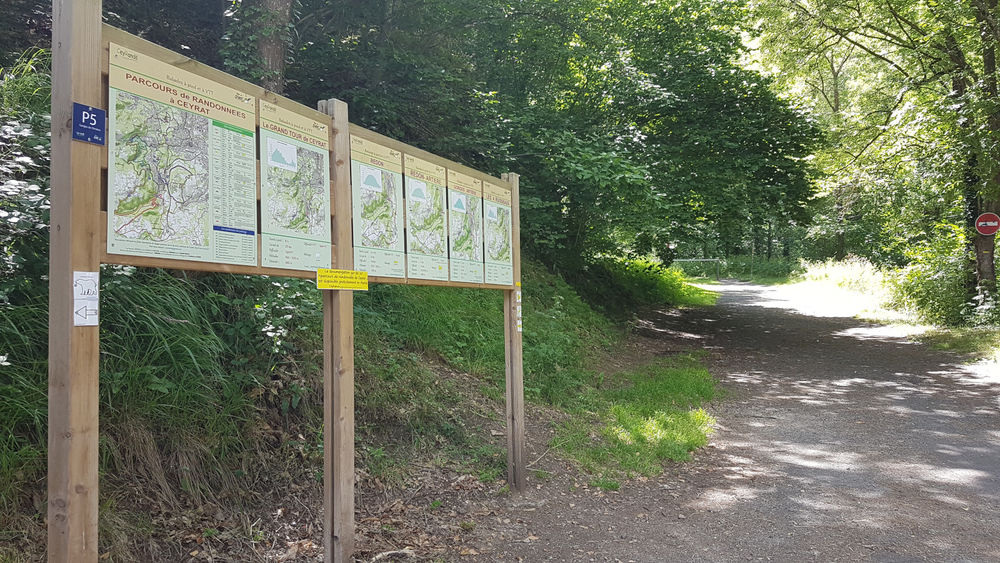
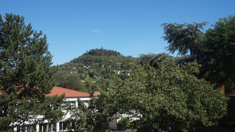
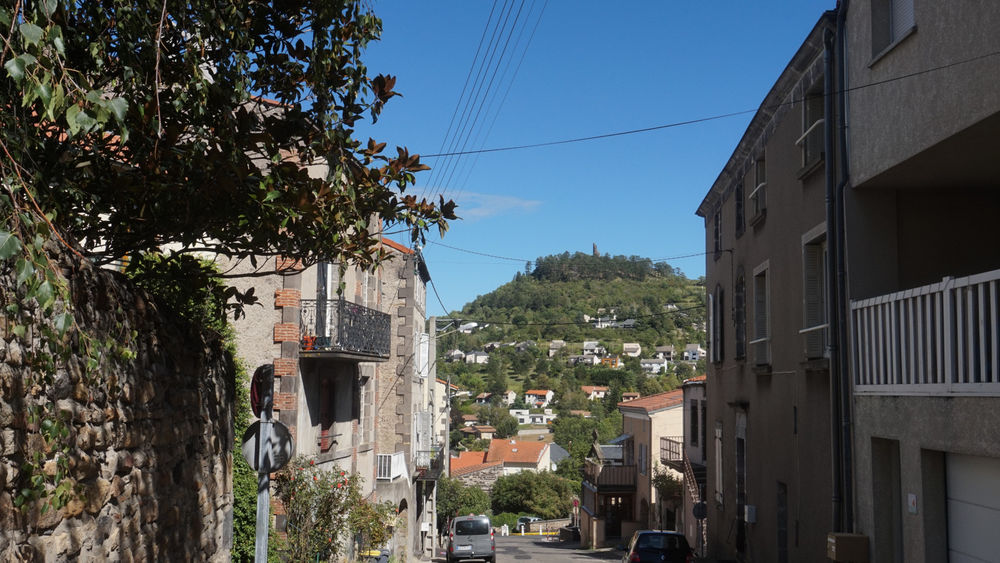
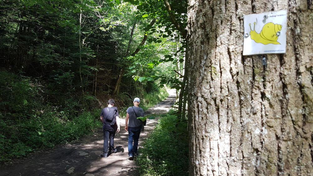
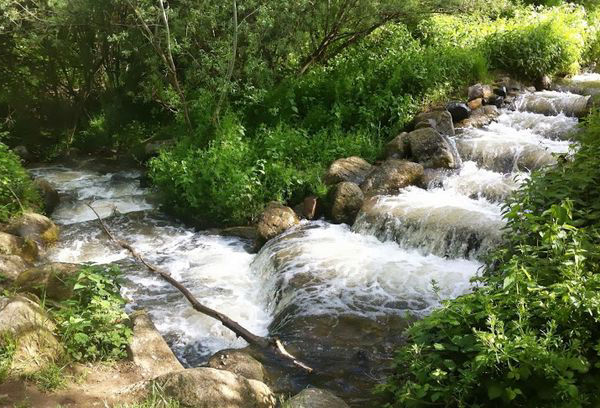
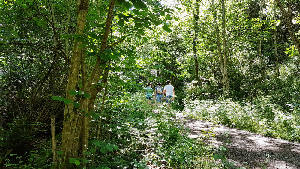
Photo credits : ESM-CAT
 Updated on 24 March 2026 by Clermont Auvergne Volcans