
At the foot of Puy de la Vache
Saint-Genès-Champanelle
 No dogs allowed
Distance 18Km
Duration 4h40
Hiking route BOUCLE
Marking Yellow circles in both directions
In pictures

Route description
On this outing you’ll pass the foot of Puy de la Vache and Lassolas.
Trail highlights
We recommend that you follow the tour using the Mikhes app, which guides you step by step to simplify your discovery. Download the app at the bottom of the page and start your tour.
Guidebook with maps/step-by-step
Step 1 : From L’Escapad’, go behind the church to cross at the crosswalk. Go around the town hall to the right (towards Fontfreyde) to pass the tennis courts and join the road by the fire station and sports complex (yellow circle).
Step 2 : Arrived at the road, turn left towards “Fontfreyde”. Be careful, walk on the side of the road.
Step 3 : At the roundabout, turn left, then take the second street on the right (rue des pins). At the end of the street, take the path down to the left.
Step 4 : Cross the road, signposted “Les Palles Hautes”, then “Maison du Parc des Volcans”, then turn right towards the Puy de la Vache parking lot (3 signposts in a row).
Next step
Step 5 : Continue straight on for 3 kilometers. At the end of the climb, turn left. Follow the yellow circles.
Step 6 : Turn right towards “Parking du Puy de la Vache”, cross the road and take the path towards “Laschamps”.
Step 7 : Turn right, signposted “Laschamps”. Continue straight on to the signpost.
Step 8 : At the signpost, turn right towards “Laschamps” (GR4/GR441). Continue straight on.
Step 9 : At the end of the climb, go straight on towards Laschamps. Follow the GR.
Step 10 : At the end of the descent, go straight on. Follow the GR.
Step 11 : Turn right, signposted “Fontfreyde”.
Step 12 : Turn left to cross the road, signposted “St Genès Champanelle”. Go straight ahead along the left-hand side of the wood. View of the Puy de Dôme. Follow the yellow circles.
Step 13 : At the signpost, turn right towards St Genès Champanelle. Continue straight on towards “St Genès Champanelle/Chatrat”.
Step 14 : Arrive at the road, follow the yellow circles (ignore the yellow crosses).
Step 15 : Cross the “départementale” to go straight on towards “St Genès”.
Step 16 : After the cemetery, turn left and then right (take care when crossing the road) to enter the wetland picnic area. You can take advantage of this to explore the area. Return to L’Escapad’ via the small path. Champanelle”.
/* col-6_sm-12 */ ?>
Opening hours
From 01/01 to 31/12 daily.
Comfort, facilities and services
- Coach access
- Defibrillator
Environment
Forest location, Mountain view
Access
Road access to L’Escapad’ – 1 chemin du Château – 63122 Saint-Genès-Champanelle Le Bourg.
From Clermont-Ferrand, take the N89 via Beaumont, Ceyrat, Saulzet-Le-Chaud then Theix.
Continue on the D90 to Saint-Genès-Champanelle Le Bourg or via Royat, Charade, Manson then Thèdes (D90).
Downloadable :
You might also like…
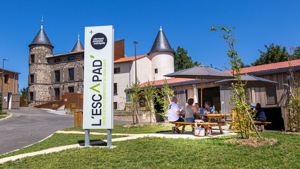
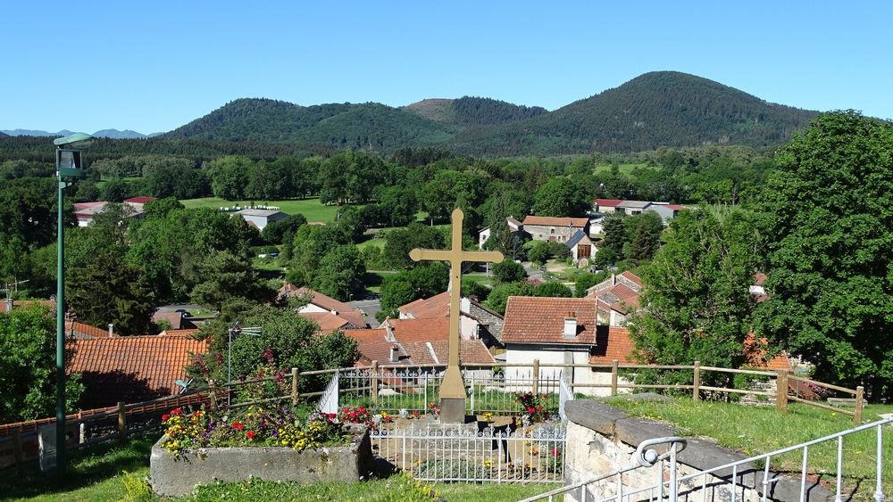
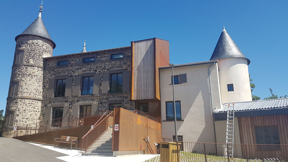
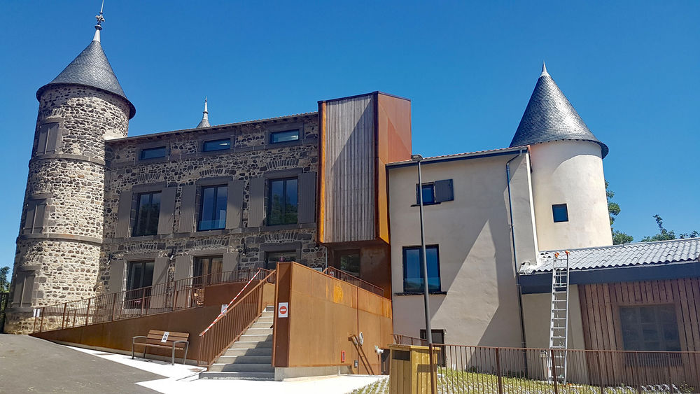
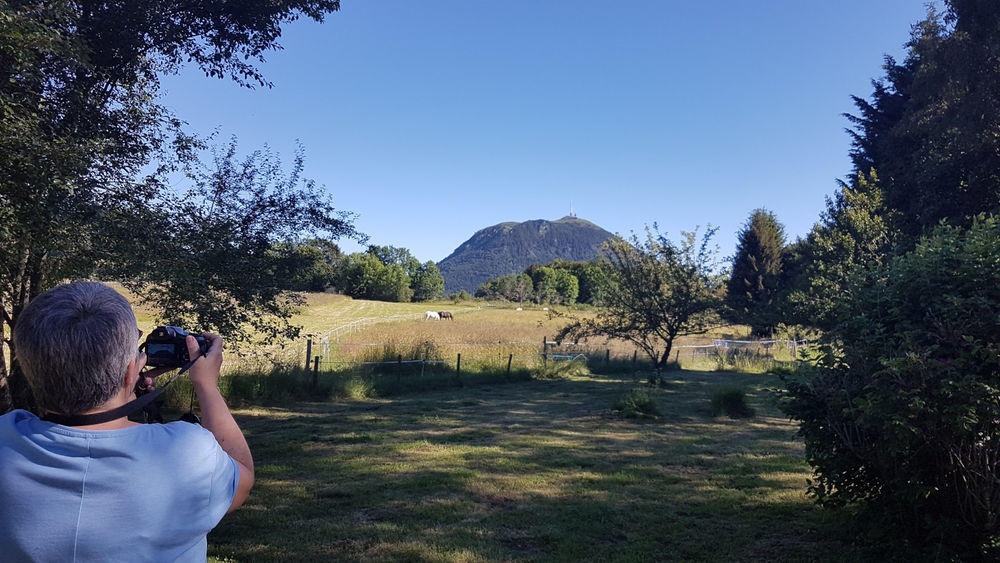
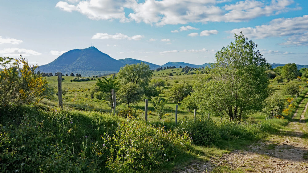
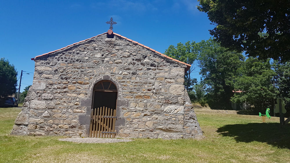
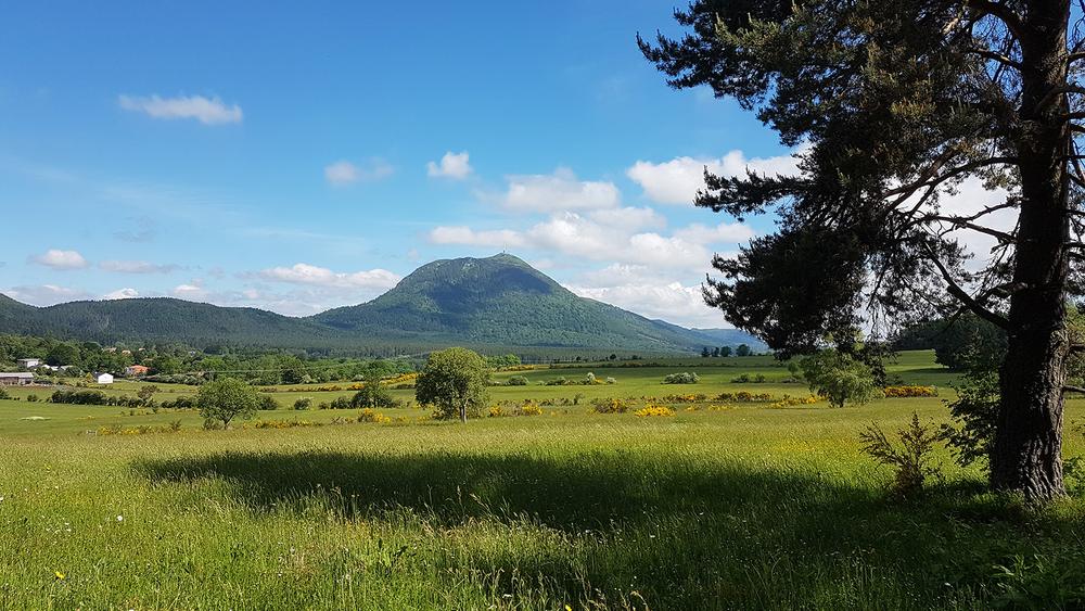
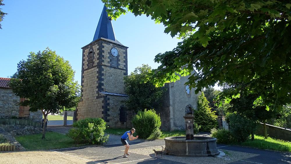
Photo credits : Clermont Auvergne Volcans
 Updated on 8 June 2026 by Clermont Auvergne Volcans